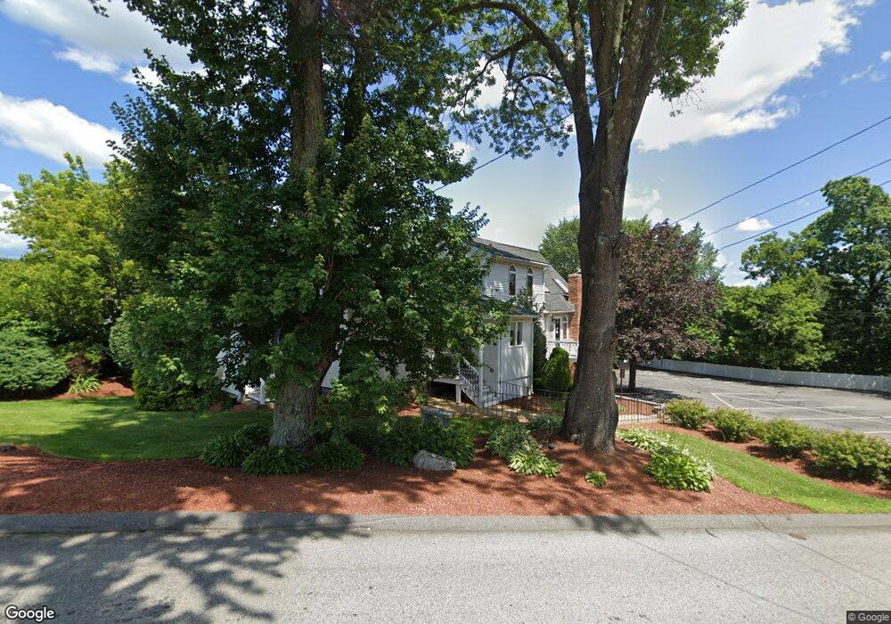
622 Boston Rd Billerica, MA 01821
Estimated Value: $613,870
2
Beds
4
Baths
2,531
Sq Ft
$243/Sq Ft
Est. Value
About This Home
This home is located at 622 Boston Rd, Billerica, MA 01821 and is currently estimated at $613,870, approximately $242 per square foot. 622 Boston Rd is a home located in Middlesex County with nearby schools including Billerica Memorial High School.
Ownership History
Date
Name
Owned For
Owner Type
Purchase Details
Closed on
Nov 29, 2021
Sold by
622 Boston Rd Rt
Bought by
622 Boston Rd Rt
Current Estimated Value
Home Financials for this Owner
Home Financials are based on the most recent Mortgage that was taken out on this home.
Original Mortgage
$350,000
Outstanding Balance
$321,822
Interest Rate
3.09%
Mortgage Type
Purchase Money Mortgage
Estimated Equity
$292,048
Purchase Details
Closed on
May 23, 2016
Sold by
Cashin Donna L
Bought by
622 Boston Road Rt
Purchase Details
Closed on
Mar 15, 1982
Bought by
Plourde Donna L
Create a Home Valuation Report for This Property
The Home Valuation Report is an in-depth analysis detailing your home's value as well as a comparison with similar homes in the area
Home Values in the Area
Average Home Value in this Area
Purchase History
| Date | Buyer | Sale Price | Title Company |
|---|---|---|---|
| 622 Boston Rd Rt | $500,000 | None Available | |
| 622 Boston Road Rt | -- | -- | |
| Plourde Donna L | -- | -- |
Source: Public Records
Mortgage History
| Date | Status | Borrower | Loan Amount |
|---|---|---|---|
| Open | 622 Boston Rd Rt | $350,000 |
Source: Public Records
Tax History Compared to Growth
Tax History
| Year | Tax Paid | Tax Assessment Tax Assessment Total Assessment is a certain percentage of the fair market value that is determined by local assessors to be the total taxable value of land and additions on the property. | Land | Improvement |
|---|---|---|---|---|
| 2025 | -- | $685,500 | $296,500 | $389,000 |
| 2024 | -- | $653,300 | $278,500 | $374,800 |
| 2023 | $0 | $640,400 | $240,800 | $399,600 |
| 2022 | $0 | $521,300 | $197,700 | $323,600 |
| 2021 | $0 | $505,600 | $186,900 | $318,700 |
| 2020 | $9,202 | $498,400 | $179,700 | $318,700 |
| 2019 | $0 | $439,400 | $165,300 | $274,100 |
| 2018 | $0 | $410,000 | $150,200 | $259,800 |
| 2017 | $0 | $392,800 | $143,700 | $249,100 |
| 2016 | -- | $377,800 | $128,700 | $249,100 |
| 2015 | -- | $374,900 | $125,800 | $249,100 |
| 2014 | -- | $392,300 | $167,700 | $224,600 |
Source: Public Records
Map
Nearby Homes
- 30 Wyman Rd
- 86 Lexington Rd
- 88 Lexington Rd
- 10 Wentworth Dr
- 37 Porter St
- 56 Glad Valley Dr
- 14 Kenmar Dr Unit 111
- 22 Kenmar Dr Unit 194Y
- 17 Ravine Rd
- 110 Friendship St
- 2 Karen Cir Unit 2
- 10 Scroxton Dr
- 8 Water St
- 5 Karen Cir Unit 16
- 10 Pearl Rd
- 463 Middlesex Turnpike
- 49 Baldwin Rd
- 454 Middlesex Turnpike
- 32 Marshall St
- 120 Concord Rd
- 622 Boston Rd Unit 622,2nd
- 622 Boston Rd Unit 2nd
- 618 Boston Rd
- 618 Boston Rd Unit 618
- 6 Webb Brook Rd
- 616 Boston Rd
- 585 Boston Rd
- 614 Boston Rd
- 630 Boston Rd Unit 203
- 630 Boston Rd Unit 2
- 630 Boston Rd Unit a
- 630 Boston Rd Unit b
- 630 Boston Rd Unit a&b
- 630 Boston Rd Unit warehouse
- 630 Boston Rd Unit 201
- 630 Boston Rd Unit 201 a
- 630 Boston Rd Unit m103
- 630 Boston Rd Unit 200b
- 630 Boston Rd Unit 200c
- 630 Boston Rd Unit m104