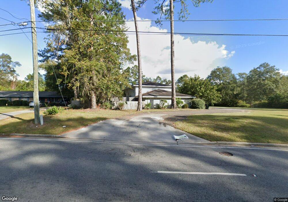
622 City Blvd Waycross, GA 31501
Estimated Value: $350,000 - $663,630
--
Bed
--
Bath
3,456
Sq Ft
$131/Sq Ft
Est. Value
About This Home
This home is located at 622 City Blvd, Waycross, GA 31501 and is currently estimated at $453,408, approximately $131 per square foot. 622 City Blvd is a home located in Ware County with nearby schools including Williams Heights Elementary School, Waycross Middle School, and Ware County High School.
Ownership History
Date
Name
Owned For
Owner Type
Purchase Details
Closed on
Jul 12, 2012
Sold by
Project Rescue Inc
Bought by
Oke Investments Llc
Current Estimated Value
Purchase Details
Closed on
Aug 27, 2010
Sold by
Mansfield Mark W
Bought by
Project Rescue Incorporated
Home Financials for this Owner
Home Financials are based on the most recent Mortgage that was taken out on this home.
Original Mortgage
$120,000
Interest Rate
4.52%
Mortgage Type
Purchase Money Mortgage
Purchase Details
Closed on
Jun 18, 2007
Sold by
Shiver Marie
Bought by
Mansfield Mark W
Purchase Details
Closed on
Jan 3, 2005
Sold by
Mansfield Robyn
Bought by
Shiver Marie
Purchase Details
Closed on
Jun 23, 1998
Sold by
Mansfield Robyn
Bought by
Mansfield Robyn
Purchase Details
Closed on
Sep 23, 1996
Sold by
Mansfield Alex Jacks
Bought by
Mansfield Robyn
Purchase Details
Closed on
Jan 21, 1994
Bought by
Mansfield Alex Jacks
Create a Home Valuation Report for This Property
The Home Valuation Report is an in-depth analysis detailing your home's value as well as a comparison with similar homes in the area
Home Values in the Area
Average Home Value in this Area
Purchase History
| Date | Buyer | Sale Price | Title Company |
|---|---|---|---|
| Oke Investments Llc | $150,000 | -- | |
| Project Rescue Incorporated | $170,000 | -- | |
| Mansfield Mark W | $132,369 | -- | |
| Shiver Marie | $120,220 | -- | |
| Mansfield Robyn | -- | -- | |
| Mansfield Robyn | -- | -- | |
| Mansfield Alex Jacks | $140,000 | -- |
Source: Public Records
Mortgage History
| Date | Status | Borrower | Loan Amount |
|---|---|---|---|
| Previous Owner | Project Rescue Incorporated | $120,000 |
Source: Public Records
Tax History Compared to Growth
Tax History
| Year | Tax Paid | Tax Assessment Tax Assessment Total Assessment is a certain percentage of the fair market value that is determined by local assessors to be the total taxable value of land and additions on the property. | Land | Improvement |
|---|---|---|---|---|
| 2024 | $3,278 | $97,023 | $9,758 | $87,265 |
| 2023 | $3,346 | $97,023 | $9,758 | $87,265 |
| 2022 | $3,287 | $97,023 | $9,758 | $87,265 |
| 2021 | $2,537 | $80,892 | $9,758 | $71,134 |
| 2020 | $2,557 | $79,923 | $9,758 | $70,165 |
| 2019 | $2,594 | $61,516 | $9,758 | $51,758 |
| 2018 | $2,618 | $59,094 | $9,758 | $49,336 |
| 2017 | $2,558 | $59,094 | $9,758 | $49,336 |
| 2016 | $2,558 | $59,094 | $9,758 | $49,336 |
| 2015 | $2,595 | $59,094 | $9,758 | $49,336 |
| 2014 | $2,592 | $59,094 | $9,758 | $49,336 |
| 2013 | -- | $59,094 | $9,757 | $49,336 |
Source: Public Records
Map
Nearby Homes
- 807 City Blvd
- 7438 Central Ave
- 1100 Atlantic Ave
- 1312 Atlantic Ave
- 1204 Richmond Ave
- 1205 Dean Dr
- 914 Barkley St
- 1100 Euclid Ave
- 713 Magnolia Dr
- 1009 Euclid Ave
- 907 Euclid Ave
- 1001 Coral Rd
- 808 Satilla Blvd
- 0 Saint Marys Dr Unit (TRACT 2 0.25 ACRES)
- 00 Seminole Trail
- 1502 Seminole Trail
- 0 Goodwin St
- 955 Lynn Dr
- 1400 E Cherokee Dr
- 707 Euclid Ave
- 702 City Blvd
- 1208 Anguilla St
- 619 City Blvd
- 701 City Blvd
- 1207 Anguilla St
- 1206 Anguilla St
- 00 Central Ave & Bennett Rd
- 1204 Anguilla St
- 1203 Anguilla St
- 610 City Blvd
- 1200 Anguilla St
- 1801 Central Ave
- 1201 Anguilla St
- 1225 Central Ave
- 1200 Central Ave
- 1904 Central Ave
- 802 Saint Catherine Dr
- 802 Saint Catherine's Dr
- 613 Saint Catherine's Dr
- 613 Saint Catherine Dr