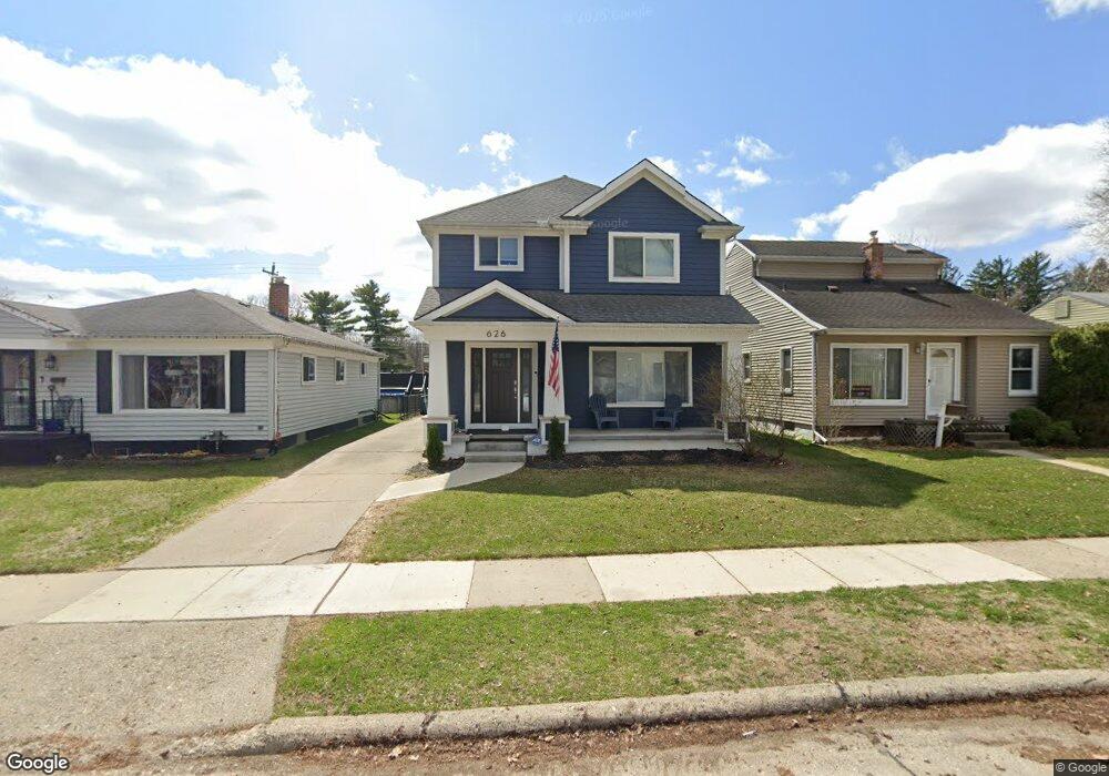
622 Dewey St Royal Oak, MI 48067
Estimated Value: $255,000 - $301,000
4
Beds
2
Baths
1,060
Sq Ft
$271/Sq Ft
Est. Value
About This Home
This home is located at 622 Dewey St, Royal Oak, MI 48067 and is currently estimated at $287,137, approximately $270 per square foot. 622 Dewey St is a home located in Oakland County with nearby schools including Keller Elementary, Royal Oak Middle School, and Royal Oak High School.
Ownership History
Date
Name
Owned For
Owner Type
Purchase Details
Closed on
Oct 3, 2003
Sold by
Sifton Michael R and Sifton William T
Bought by
Sifton Michael R
Current Estimated Value
Purchase Details
Closed on
Feb 29, 2000
Sold by
Pallozzi Steven
Bought by
Sifton Michael R
Home Financials for this Owner
Home Financials are based on the most recent Mortgage that was taken out on this home.
Original Mortgage
$121,900
Interest Rate
8.24%
Purchase Details
Closed on
Jul 30, 1998
Sold by
Currie Richard J
Bought by
Pallozzi Steven
Home Financials for this Owner
Home Financials are based on the most recent Mortgage that was taken out on this home.
Original Mortgage
$113,000
Interest Rate
6.99%
Create a Home Valuation Report for This Property
The Home Valuation Report is an in-depth analysis detailing your home's value as well as a comparison with similar homes in the area
Home Values in the Area
Average Home Value in this Area
Purchase History
| Date | Buyer | Sale Price | Title Company |
|---|---|---|---|
| Sifton Michael R | -- | Title One Inc | |
| Sifton Michael R | $122,000 | -- | |
| Pallozzi Steven | $116,500 | -- |
Source: Public Records
Mortgage History
| Date | Status | Borrower | Loan Amount |
|---|---|---|---|
| Previous Owner | Sifton Michael R | $121,900 | |
| Previous Owner | Pallozzi Steven | $113,000 |
Source: Public Records
Tax History Compared to Growth
Tax History
| Year | Tax Paid | Tax Assessment Tax Assessment Total Assessment is a certain percentage of the fair market value that is determined by local assessors to be the total taxable value of land and additions on the property. | Land | Improvement |
|---|---|---|---|---|
| 2024 | $2,052 | $108,410 | $0 | $0 |
| 2022 | $2,355 | $93,710 | $0 | $0 |
| 2020 | $1,937 | $76,840 | $0 | $0 |
| 2018 | $2,355 | $68,840 | $0 | $0 |
| 2017 | $2,264 | $68,840 | $0 | $0 |
| 2015 | -- | $61,580 | $0 | $0 |
| 2014 | -- | $56,960 | $0 | $0 |
| 2011 | -- | $52,810 | $0 | $0 |
Source: Public Records
Map
Nearby Homes
- 528 Marlin Ave
- 512 Marlin Ave
- 334 Marlin Ave
- 1018 E 12 Mile Rd
- 309 E 12 Mile Rd
- 1929 Brookwood Ave
- 1935 Brookwood Ave
- 1944 Brookwood Ave
- 1126 N Altadena Ave
- 715 Gardenia Ave
- 1021 N Altadena Ave
- 1208 E 12 Mile (Corner Lot) Rd
- 1208 E 12 Mile (Eastern Lot) Rd
- 1208 E 12 Mile (Center Lot) Rd
- 1306 N Blair Ave
- 511 Gardenia Ave
- 801 Hawthorn Ave
- 716 Hawthorn Ave
- 1923 N Vermont Ave
- 805 Forest Ave