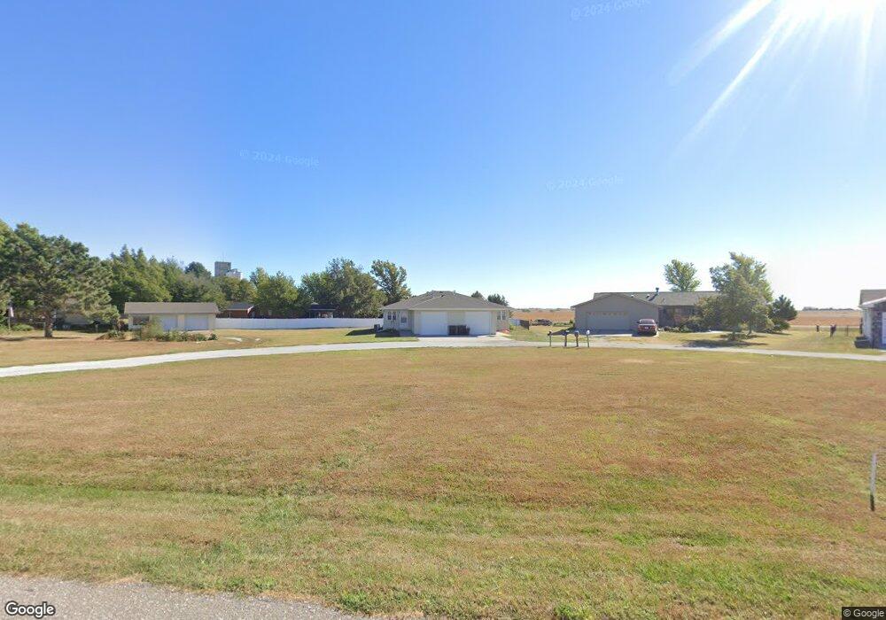
622 Freedom Cir Murdock, NE 68407
Estimated Value: $296,000 - $324,749
4
Beds
2
Baths
2,150
Sq Ft
$144/Sq Ft
Est. Value
About This Home
This home is located at 622 Freedom Cir, Murdock, NE 68407 and is currently estimated at $308,583, approximately $143 per square foot. 622 Freedom Cir is a home located in Cass County with nearby schools including Elmwood-Murdock Elementary School and Elmwood-Murdock Junior/Senior High School.
Ownership History
Date
Name
Owned For
Owner Type
Purchase Details
Closed on
Sep 16, 2022
Sold by
Graham Dustalyn J
Bought by
Graham Daniel L
Current Estimated Value
Create a Home Valuation Report for This Property
The Home Valuation Report is an in-depth analysis detailing your home's value as well as a comparison with similar homes in the area
Home Values in the Area
Average Home Value in this Area
Purchase History
| Date | Buyer | Sale Price | Title Company |
|---|---|---|---|
| Graham Daniel L | -- | -- |
Source: Public Records
Tax History Compared to Growth
Tax History
| Year | Tax Paid | Tax Assessment Tax Assessment Total Assessment is a certain percentage of the fair market value that is determined by local assessors to be the total taxable value of land and additions on the property. | Land | Improvement |
|---|---|---|---|---|
| 2024 | $3,216 | $242,770 | $26,090 | $216,680 |
| 2023 | $4,219 | $251,128 | $22,673 | $228,455 |
| 2022 | $3,808 | $236,296 | $23,807 | $212,489 |
| 2021 | $2,839 | $170,518 | $18,743 | $151,775 |
| 2020 | $2,932 | $166,978 | $20,617 | $146,361 |
| 2019 | $2,681 | $151,798 | $18,743 | $133,055 |
| 2018 | $2,729 | $151,798 | $18,743 | $133,055 |
| 2017 | $2,737 | $151,798 | $18,743 | $133,055 |
| 2016 | $2,600 | $151,798 | $18,743 | $133,055 |
| 2015 | $2,412 | $145,573 | $26,296 | $119,277 |
| 2014 | $2,690 | $145,573 | $26,296 | $119,277 |
Source: Public Records
Map
Nearby Homes
