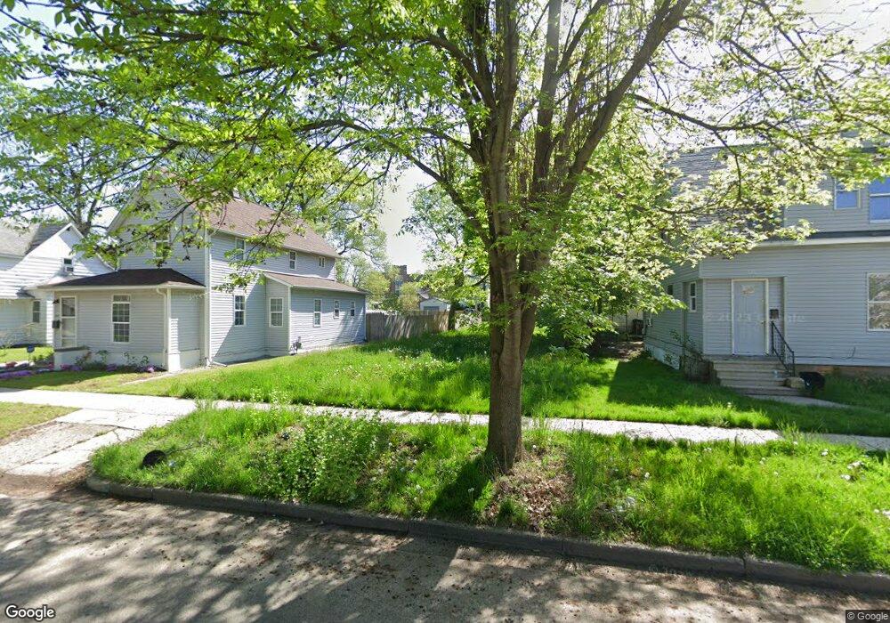
622 Fremont St Elkhart, IN 46516
First NeighborhoodEstimated Value: $43,917 - $271,000
3
Beds
1
Bath
2,316
Sq Ft
$67/Sq Ft
Est. Value
About This Home
This home is located at 622 Fremont St, Elkhart, IN 46516 and is currently estimated at $155,479, approximately $67 per square foot. 622 Fremont St is a home located in Elkhart County with nearby schools including Mary Daly Elementary School, West Side Middle School, and Elkhart High School.
Ownership History
Date
Name
Owned For
Owner Type
Purchase Details
Closed on
Dec 20, 2022
Sold by
State Of Indiana
Bought by
Tax Ease Florida Reo Llc
Current Estimated Value
Purchase Details
Closed on
Jan 10, 2014
Sold by
Kosloski Deron and Kosloski Cindy
Bought by
Tax Ease Florida Reo Llc
Purchase Details
Closed on
Dec 31, 2001
Sold by
Borgsteadt Harold James
Bought by
Kosloski Deron and Kosloski Cindy
Home Financials for this Owner
Home Financials are based on the most recent Mortgage that was taken out on this home.
Original Mortgage
$48,750
Interest Rate
10.65%
Create a Home Valuation Report for This Property
The Home Valuation Report is an in-depth analysis detailing your home's value as well as a comparison with similar homes in the area
Home Values in the Area
Average Home Value in this Area
Purchase History
| Date | Buyer | Sale Price | Title Company |
|---|---|---|---|
| Tax Ease Florida Reo Llc | -- | -- | |
| Tax Ease Florida Reo Llc | $1,179 | None Available | |
| Kosloski Deron | -- | -- |
Source: Public Records
Mortgage History
| Date | Status | Borrower | Loan Amount |
|---|---|---|---|
| Previous Owner | Kosloski Deron | $48,750 |
Source: Public Records
Tax History Compared to Growth
Tax History
| Year | Tax Paid | Tax Assessment Tax Assessment Total Assessment is a certain percentage of the fair market value that is determined by local assessors to be the total taxable value of land and additions on the property. | Land | Improvement |
|---|---|---|---|---|
| 2024 | $595 | $3,800 | $3,800 | -- |
| 2022 | $272 | $3,800 | $3,800 | $0 |
| 2021 | $115 | $3,800 | $3,800 | $0 |
| 2020 | $120 | $3,800 | $3,800 | $0 |
| 2019 | $270 | $3,800 | $3,800 | $0 |
| 2018 | $120 | $3,800 | $3,800 | $0 |
| 2017 | $121 | $3,800 | $3,800 | $0 |
| 2016 | $973 | $44,800 | $7,700 | $37,100 |
| 2014 | $978 | $45,700 | $7,700 | $38,000 |
| 2013 | $936 | $46,600 | $7,700 | $38,900 |
Source: Public Records
Map
Nearby Homes
- 1301 Harrison St
- 1309 Harrison St
- 1007 Mason St
- 721 Harrison St
- 1202 S Shore Dr
- 607 W Marion St
- 311 Hillside Ct
- 726 W Lexington Ave
- 919 W Wolf Ave
- 124 S Vine St
- 1803 W Indiana Ave
- 709 Strong Ave
- 100 S Michigan St
- 1021 Strong Ave
- 419 W High St
- 1523 Navajo St
- 1106 Strong Ave
- 714 W Blaine Ave
- 154 N 6th St
- 915 Fulton St
- 618 Fremont St
- 1220 Mason St
- 1216 Mason St
- 614 Fremont St
- 1214 Mason St
- 1225 Harrison St
- 619 Oakland Ave
- 1229 Harrison St
- 623 Fremont St
- 613 Oakland Ave
- 627 Fremont St
- 619 Fremont St
- 617 Fremont St
- 1219 Harrison St
- 613 Fremont St
- 1209 Harrison St
- 701 Oakland Ave
- 701 Fremont St
- 1305 Harrison St
- 709 Oakland Ave