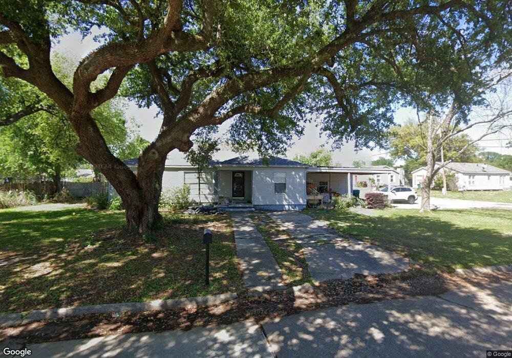
622 Ginger St Sulphur, LA 70663
Estimated Value: $132,436 - $143,000
3
Beds
2
Baths
1,227
Sq Ft
$113/Sq Ft
Est. Value
About This Home
This home is located at 622 Ginger St, Sulphur, LA 70663 and is currently estimated at $138,859, approximately $113 per square foot. 622 Ginger St is a home located in Calcasieu Parish with nearby schools including Frasch Elementary School, W.W. Lewis Middle School, and Sulphur High School.
Ownership History
Date
Name
Owned For
Owner Type
Purchase Details
Closed on
Nov 24, 2010
Sold by
Drumwright Marlana Annette
Bought by
Thierbach Brian Lee
Current Estimated Value
Home Financials for this Owner
Home Financials are based on the most recent Mortgage that was taken out on this home.
Original Mortgage
$92,445
Outstanding Balance
$61,108
Interest Rate
4.23%
Mortgage Type
VA
Estimated Equity
$77,751
Purchase Details
Closed on
Jun 26, 2008
Sold by
Conrad James Aaron and Rogers James Joyce
Bought by
Drumwright Marlana Annette
Home Financials for this Owner
Home Financials are based on the most recent Mortgage that was taken out on this home.
Original Mortgage
$85,163
Interest Rate
6.05%
Mortgage Type
FHA
Create a Home Valuation Report for This Property
The Home Valuation Report is an in-depth analysis detailing your home's value as well as a comparison with similar homes in the area
Home Values in the Area
Average Home Value in this Area
Purchase History
| Date | Buyer | Sale Price | Title Company |
|---|---|---|---|
| Thierbach Brian Lee | $90,500 | Title 2 Land | |
| Drumwright Marlana Annette | $86,500 | None Available |
Source: Public Records
Mortgage History
| Date | Status | Borrower | Loan Amount |
|---|---|---|---|
| Open | Thierbach Brian Lee | $92,445 | |
| Previous Owner | Drumwright Marlana Annette | $85,163 |
Source: Public Records
Tax History Compared to Growth
Tax History
| Year | Tax Paid | Tax Assessment Tax Assessment Total Assessment is a certain percentage of the fair market value that is determined by local assessors to be the total taxable value of land and additions on the property. | Land | Improvement |
|---|---|---|---|---|
| 2024 | $147 | $8,980 | $2,700 | $6,280 |
| 2023 | $147 | $8,980 | $2,700 | $6,280 |
| 2022 | $281 | $8,980 | $2,700 | $6,280 |
| 2021 | $136 | $8,980 | $2,700 | $6,280 |
| 2020 | $878 | $8,240 | $2,590 | $5,650 |
| 2019 | $947 | $8,780 | $2,500 | $6,280 |
| 2018 | $256 | $8,780 | $2,500 | $6,280 |
| 2017 | $984 | $8,780 | $2,500 | $6,280 |
| 2016 | $971 | $8,780 | $2,500 | $6,280 |
| 2015 | $710 | $6,130 | $2,200 | $3,930 |
Source: Public Records
Map
Nearby Homes
- 300 Mathilda Dr
- 1339 W Kent Dr
- 0 Eddie St Unit SWL24005544
- 0 Eddie St Unit SWL23005682
- 1641 Eddie St
- 900 Mathilda Dr
- 1305 Francis St
- 641 Starlin Dr Unit 498
- 740 Starlin Dr
- 1002 Maria Dr
- 217 Darbonne St
- 112 Darbonne St
- 284 E Roddam St
- 1302 Dean St
- 1102 Bernadette Dr
- 623 Mustang St
- 1406 Carol St
- 1605 Ruth St
- 1405 Lasalette Ave
- 1713 Ewel St