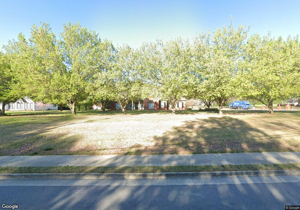
622 Graymont Dr Grayson, GA 30017
Estimated Value: $360,996 - $403,000
3
Beds
3
Baths
2,086
Sq Ft
$182/Sq Ft
Est. Value
About This Home
This home is located at 622 Graymont Dr, Grayson, GA 30017 and is currently estimated at $380,499, approximately $182 per square foot. 622 Graymont Dr is a home located in Gwinnett County with nearby schools including Trip Elementary School, Bay Creek Middle School, and Grayson High School.
Ownership History
Date
Name
Owned For
Owner Type
Purchase Details
Closed on
Mar 9, 2018
Sold by
Henson Charles L
Bought by
Chester Christopher Lee and Chester Tara Bowen
Current Estimated Value
Purchase Details
Closed on
Jul 13, 2000
Sold by
Latham Mary T
Bought by
Henson Charles L and Henson Robbie K
Home Financials for this Owner
Home Financials are based on the most recent Mortgage that was taken out on this home.
Original Mortgage
$130,000
Interest Rate
8.54%
Mortgage Type
New Conventional
Create a Home Valuation Report for This Property
The Home Valuation Report is an in-depth analysis detailing your home's value as well as a comparison with similar homes in the area
Home Values in the Area
Average Home Value in this Area
Purchase History
| Date | Buyer | Sale Price | Title Company |
|---|---|---|---|
| Chester Christopher Lee | $259,900 | -- | |
| Henson Charles L | $45,000 | -- |
Source: Public Records
Mortgage History
| Date | Status | Borrower | Loan Amount |
|---|---|---|---|
| Previous Owner | Henson Charles L | $130,000 |
Source: Public Records
Tax History
| Year | Tax Paid | Tax Assessment Tax Assessment Total Assessment is a certain percentage of the fair market value that is determined by local assessors to be the total taxable value of land and additions on the property. | Land | Improvement |
|---|---|---|---|---|
| 2025 | $4,859 | $122,320 | $20,720 | $101,600 |
| 2024 | $4,898 | $122,320 | $20,720 | $101,600 |
| 2023 | $4,898 | $122,320 | $20,720 | $101,600 |
| 2022 | $0 | $86,120 | $12,440 | $73,680 |
| 2021 | $3,611 | $86,120 | $12,440 | $73,680 |
| 2020 | $3,611 | $86,120 | $12,440 | $73,680 |
| 2019 | $2,973 | $71,760 | $14,360 | $57,400 |
| 2018 | $1,043 | $71,760 | $14,360 | $57,400 |
| 2016 | $2,594 | $71,760 | $14,360 | $57,400 |
| 2015 | $2,480 | $71,760 | $14,360 | $57,400 |
| 2014 | -- | $68,320 | $12,400 | $55,920 |
Source: Public Records
Map
Nearby Homes
- 679 Crystal Cove Ct
- 737 Heritage Post Ln
- 589 Cooper Rd
- 766 Heritage Post Ln SW
- 2382 Alexander Top Place
- 525 Cooper Rd
- 2326 Britt St
- 2509 Anhinga Dr
- 2322 Chance Ln
- 2606 Dorset Ln
- 2265 Cobble Creek Ln
- 2868 Rolling Downs Way
- 2474 Anhinga Dr
- 2434 Anhinga Dr
- 2265 Rosebud Rd
- 345 McKenzie Grace Ln
- 727 Kestrel Dr
- 730 Windsor Place Cir Unit 1
- 730 Windsor Place Cir SW
- 2120 Railyard Ave Unit 13
- 0 Rosebud Rd Unit 8046727
- 0000 Rosebud Rd
- 2505 Rosebud Rd
- 632 Graymont Dr
- 2502 Rosebud Rd
- 2490 Rosebud Rd
- 633 Graymont Dr
- 2512 Rosebud Rd
- 2450 Rosebud Rd
- 2523 Rosebud Rd Unit 1
- 2523 Rosebud Rd
- 2542 Rosebud Rd
- 643 Graymont Dr
- 2433 Rosebud Rd
- 2438 Rosebud Rd
- 2741 Heritage Bend Ct
- 652 Graymont Dr
- 653 Graymont Dr Unit 3
- 653 Graymont Dr Unit 3A
- 653 Graymont Dr
Your Personal Tour Guide
Ask me questions while you tour the home.