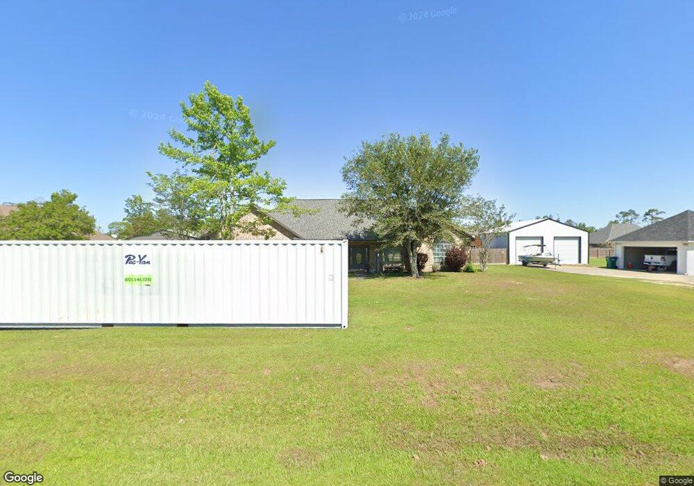
622 Josh St Lake Charles, LA 70611
Moss Bluff NeighborhoodEstimated Value: $274,971 - $341,000
4
Beds
2
Baths
2,220
Sq Ft
$140/Sq Ft
Est. Value
About This Home
This home is located at 622 Josh St, Lake Charles, LA 70611 and is currently estimated at $310,493, approximately $139 per square foot. 622 Josh St is a home located in Calcasieu Parish with nearby schools including Graham & Parks Alternative Public School, Moss Bluff Elementary School, and Putnam Avenue Upper School.
Ownership History
Date
Name
Owned For
Owner Type
Purchase Details
Closed on
Jul 3, 2008
Sold by
Spisak David Michael and Spisak Kelly Elizabeth
Bought by
Efthemes Anthony Robert and Efthemes Monika Marie Lee
Current Estimated Value
Home Financials for this Owner
Home Financials are based on the most recent Mortgage that was taken out on this home.
Original Mortgage
$213,100
Outstanding Balance
$136,918
Interest Rate
5.99%
Mortgage Type
Purchase Money Mortgage
Estimated Equity
$173,575
Create a Home Valuation Report for This Property
The Home Valuation Report is an in-depth analysis detailing your home's value as well as a comparison with similar homes in the area
Home Values in the Area
Average Home Value in this Area
Purchase History
| Date | Buyer | Sale Price | Title Company |
|---|---|---|---|
| Efthemes Anthony Robert | $209,000 | Legacy Title Of Lake Charles |
Source: Public Records
Mortgage History
| Date | Status | Borrower | Loan Amount |
|---|---|---|---|
| Open | Efthemes Anthony Robert | $213,100 |
Source: Public Records
Tax History Compared to Growth
Tax History
| Year | Tax Paid | Tax Assessment Tax Assessment Total Assessment is a certain percentage of the fair market value that is determined by local assessors to be the total taxable value of land and additions on the property. | Land | Improvement |
|---|---|---|---|---|
| 2024 | $1,465 | $20,920 | $2,380 | $18,540 |
| 2023 | $1,442 | $20,920 | $2,380 | $18,540 |
| 2022 | $1,418 | $20,920 | $2,380 | $18,540 |
| 2021 | $1,488 | $20,920 | $2,380 | $18,540 |
| 2020 | $2,065 | $18,970 | $2,280 | $16,690 |
| 2019 | $2,266 | $20,740 | $2,200 | $18,540 |
| 2018 | $1,449 | $20,740 | $2,200 | $18,540 |
| 2017 | $2,301 | $20,740 | $2,200 | $18,540 |
| 2016 | $2,268 | $20,740 | $2,200 | $18,540 |
| 2015 | $2,316 | $20,740 | $2,200 | $18,540 |
Source: Public Records
Map
Nearby Homes
- 521 Josh St
- 0 Vickie Ln
- 0 Parish Rd Unit 45-679
- 0 Parish Rd Unit SWL24004393
- 231 N Presidential Cir
- 335 W Presidential Cir
- 211 Senator Ln
- 928 Crawford Dr
- 647 Morrow Rd
- 298 S Presidential Cir
- 290 Morrow Rd
- 1198 N Hwy 171 Hwy
- 419 You Winn Rd
- 201 Armistead Ln
- 179 Armistead Ln
- 740 Sam Houston Jones Pkwy
- 1306 Edith St
- 986 Hollyvale Dr
- 0 Ravenhurst Dr
- 0 Ravenhurst Dr Unit SWL23004014