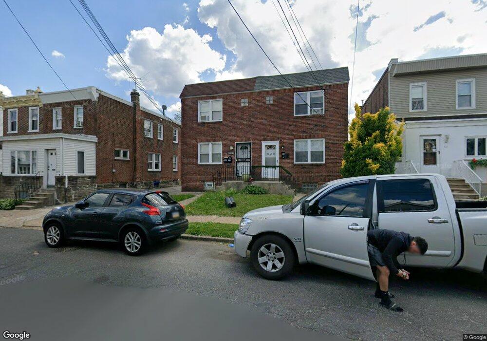
622 Magee Ave Philadelphia, PA 19111
Lawncrest NeighborhoodEstimated Value: $267,000 - $291,000
--
Bed
2
Baths
1,320
Sq Ft
$209/Sq Ft
Est. Value
About This Home
This home is located at 622 Magee Ave, Philadelphia, PA 19111 and is currently estimated at $276,396, approximately $209 per square foot. 622 Magee Ave is a home located in Philadelphia County with nearby schools including J. Hampton Moore School, Castor Gardens Middle School, and Northeast High School.
Ownership History
Date
Name
Owned For
Owner Type
Purchase Details
Closed on
Oct 11, 2011
Sold by
Sanders Nichole
Bought by
Gonzalez Farelen
Current Estimated Value
Purchase Details
Closed on
Apr 11, 2007
Sold by
Peart Michael
Bought by
Sanders Nichole
Home Financials for this Owner
Home Financials are based on the most recent Mortgage that was taken out on this home.
Original Mortgage
$156,000
Interest Rate
6.18%
Mortgage Type
Commercial
Purchase Details
Closed on
Jan 3, 1997
Sold by
Staub Michael and Staub Elsie R
Bought by
Peart Michael
Create a Home Valuation Report for This Property
The Home Valuation Report is an in-depth analysis detailing your home's value as well as a comparison with similar homes in the area
Home Values in the Area
Average Home Value in this Area
Purchase History
| Date | Buyer | Sale Price | Title Company |
|---|---|---|---|
| Gonzalez Farelen | $115,900 | None Available | |
| Sanders Nichole | $156,000 | None Available | |
| Peart Michael | $60,000 | -- |
Source: Public Records
Mortgage History
| Date | Status | Borrower | Loan Amount |
|---|---|---|---|
| Previous Owner | Sanders Nichole | $156,000 |
Source: Public Records
Tax History Compared to Growth
Tax History
| Year | Tax Paid | Tax Assessment Tax Assessment Total Assessment is a certain percentage of the fair market value that is determined by local assessors to be the total taxable value of land and additions on the property. | Land | Improvement |
|---|---|---|---|---|
| 2025 | $2,942 | $265,700 | $53,140 | $212,560 |
| 2024 | $2,942 | $265,700 | $53,140 | $212,560 |
| 2023 | $2,942 | $210,200 | $42,040 | $168,160 |
| 2022 | $2,219 | $210,200 | $42,040 | $168,160 |
| 2021 | $2,219 | $0 | $0 | $0 |
| 2020 | $2,219 | $0 | $0 | $0 |
| 2019 | $2,129 | $0 | $0 | $0 |
| 2018 | $2,083 | $0 | $0 | $0 |
| 2017 | $2,083 | $0 | $0 | $0 |
| 2016 | $2,083 | $0 | $0 | $0 |
| 2015 | $1,994 | $0 | $0 | $0 |
| 2014 | -- | $148,800 | $38,360 | $110,440 |
| 2012 | -- | $18,400 | $2,173 | $16,227 |
Source: Public Records
Map
Nearby Homes
- 629 Fanshawe St
- 542-48 Magee Ave
- 528 Magee Ave
- 6607 Claridge St
- 6424 Bingham St
- 720 Kerper St
- 6517 Montour St
- 627 Knorr St
- 6504 Oxford Ave
- 6704-6708 Martins Rd
- 6339 Bingham St
- 817 Passmore St
- 6313 Bingham St
- 6422 Argyle St
- 615 Robbins St
- 811 Knorr St
- 6253 Lawndale Ave
- 524 Longshore Ave
- 832 Knorr St
- 6327 Martins Mill Rd