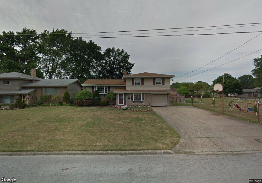
622 Matawan Dr Campbell, OH 44405
Estimated Value: $169,000 - $173,000
3
Beds
2
Baths
1,533
Sq Ft
$112/Sq Ft
Est. Value
About This Home
This home is located at 622 Matawan Dr, Campbell, OH 44405 and is currently estimated at $171,288, approximately $111 per square foot. 622 Matawan Dr is a home located in Mahoning County with nearby schools including Campbell Elementary School, Northeast Ohio Impact Academy, and Memorial High School.
Ownership History
Date
Name
Owned For
Owner Type
Purchase Details
Closed on
Apr 15, 2024
Sold by
Patellis Judith Ann
Bought by
Saroukos Grigorios and Koutella Kleopatra Martha
Current Estimated Value
Home Financials for this Owner
Home Financials are based on the most recent Mortgage that was taken out on this home.
Original Mortgage
$155,200
Outstanding Balance
$152,881
Interest Rate
6.88%
Mortgage Type
New Conventional
Estimated Equity
$18,407
Purchase Details
Closed on
Oct 9, 1990
Bought by
Patellis Judith A
Create a Home Valuation Report for This Property
The Home Valuation Report is an in-depth analysis detailing your home's value as well as a comparison with similar homes in the area
Home Values in the Area
Average Home Value in this Area
Purchase History
| Date | Buyer | Sale Price | Title Company |
|---|---|---|---|
| Saroukos Grigorios | $160,000 | None Listed On Document | |
| Saroukos Grigorios | $160,000 | None Listed On Document | |
| Patellis Judith A | -- | -- |
Source: Public Records
Mortgage History
| Date | Status | Borrower | Loan Amount |
|---|---|---|---|
| Open | Saroukos Grigorios | $155,200 | |
| Closed | Saroukos Grigorios | $155,200 |
Source: Public Records
Tax History Compared to Growth
Tax History
| Year | Tax Paid | Tax Assessment Tax Assessment Total Assessment is a certain percentage of the fair market value that is determined by local assessors to be the total taxable value of land and additions on the property. | Land | Improvement |
|---|---|---|---|---|
| 2024 | $1,883 | $45,610 | $4,650 | $40,960 |
| 2023 | $1,892 | $45,610 | $4,650 | $40,960 |
| 2022 | $1,225 | $28,500 | $4,650 | $23,850 |
| 2021 | $1,146 | $28,500 | $4,650 | $23,850 |
| 2020 | $1,164 | $28,500 | $4,650 | $23,850 |
| 2019 | $1,048 | $24,570 | $4,010 | $20,560 |
| 2018 | $1,127 | $24,570 | $4,010 | $20,560 |
| 2017 | $1,070 | $24,570 | $4,010 | $20,560 |
| 2016 | $1,139 | $26,620 | $4,010 | $22,610 |
| 2015 | $1,173 | $26,620 | $4,010 | $22,610 |
| 2014 | $1,113 | $26,620 | $4,010 | $22,610 |
| 2013 | $1,091 | $26,620 | $4,010 | $22,610 |
Source: Public Records
Map
Nearby Homes
- 853 Almasy Dr
- 619 Robinson Rd
- 291 Struthers Liberty Rd
- 683 Robinson Rd
- 409 Pin Oak Place
- 97 Rosary Dr
- 3307 Upland Ave
- 684 Devitt Ave
- 680 Tenney Ave
- 746 Whipple Ave
- 664 Tenney Ave
- 1255 Struthers Coitsville Rd
- 650 Penhale Ave
- 1414 Overlook Ave
- 134 Chambers St
- 0 Milligan Rd Unit 5148390
- 3820 Cooper Rd
- 527 Cynthia Dr
- 247 Reed Ave
- 213 Struthers Liberty Rd
- 622 Matawan Ave
- 620 Matawan Dr
- 835 Carlton Dr
- 618 Matawan Dr
- 829 Carlton Dr
- 839 Carlton Dr
- 623 Matawan Dr
- 626 Matawan Dr
- 625 Matawan Dr
- 827 Carlton Dr
- 621 Matawan Dr
- 616 Matawan Dr
- 619 Matawan Dr
- 627 Matawan Dr
- 628 Matawan Dr
- 103 Gertrude Ave
- 112 Gertrude Ave
- 819 Carlton Dr
- 615 Matawan Dr
- 622 Dumont Ave