622 Maui Dr Williamstown, NJ 08094
Estimated Value: $286,529 - $340,000
--
Bed
--
Bath
1,464
Sq Ft
$221/Sq Ft
Est. Value
About This Home
This home is located at 622 Maui Dr, Williamstown, NJ 08094 and is currently estimated at $323,882, approximately $221 per square foot. 622 Maui Dr is a home located in Gloucester County with nearby schools including Williamstown High School, South Jersey Christian Academy, and St. Mary School.
Ownership History
Date
Name
Owned For
Owner Type
Purchase Details
Closed on
Mar 21, 1996
Sold by
Hovsons Inc
Bought by
Holiday City At Monroe Inc
Current Estimated Value
Home Financials for this Owner
Home Financials are based on the most recent Mortgage that was taken out on this home.
Original Mortgage
$85,000
Interest Rate
6.9%
Create a Home Valuation Report for This Property
The Home Valuation Report is an in-depth analysis detailing your home's value as well as a comparison with similar homes in the area
Home Values in the Area
Average Home Value in this Area
Purchase History
| Date | Buyer | Sale Price | Title Company |
|---|---|---|---|
| Holiday City At Monroe Inc | -- | Chicago Title Insurance Co | |
| Brescia Robert | $107,775 | Chicago Title Insurance Co |
Source: Public Records
Mortgage History
| Date | Status | Borrower | Loan Amount |
|---|---|---|---|
| Closed | Brescia Robert | $85,000 |
Source: Public Records
Tax History Compared to Growth
Tax History
| Year | Tax Paid | Tax Assessment Tax Assessment Total Assessment is a certain percentage of the fair market value that is determined by local assessors to be the total taxable value of land and additions on the property. | Land | Improvement |
|---|---|---|---|---|
| 2025 | $5,947 | $162,400 | $45,000 | $117,400 |
| 2024 | $5,903 | $162,400 | $45,000 | $117,400 |
| 2023 | $5,903 | $162,400 | $45,000 | $117,400 |
| 2022 | $5,876 | $162,400 | $45,000 | $117,400 |
| 2021 | $5,390 | $162,400 | $45,000 | $117,400 |
| 2020 | $5,906 | $162,400 | $45,000 | $117,400 |
| 2019 | $5,871 | $162,400 | $45,000 | $117,400 |
| 2018 | $5,775 | $162,400 | $45,000 | $117,400 |
| 2017 | $5,497 | $155,200 | $47,000 | $108,200 |
| 2016 | $5,427 | $155,200 | $47,000 | $108,200 |
| 2015 | $5,272 | $155,200 | $47,000 | $108,200 |
| 2014 | $5,119 | $155,200 | $47,000 | $108,200 |
Source: Public Records
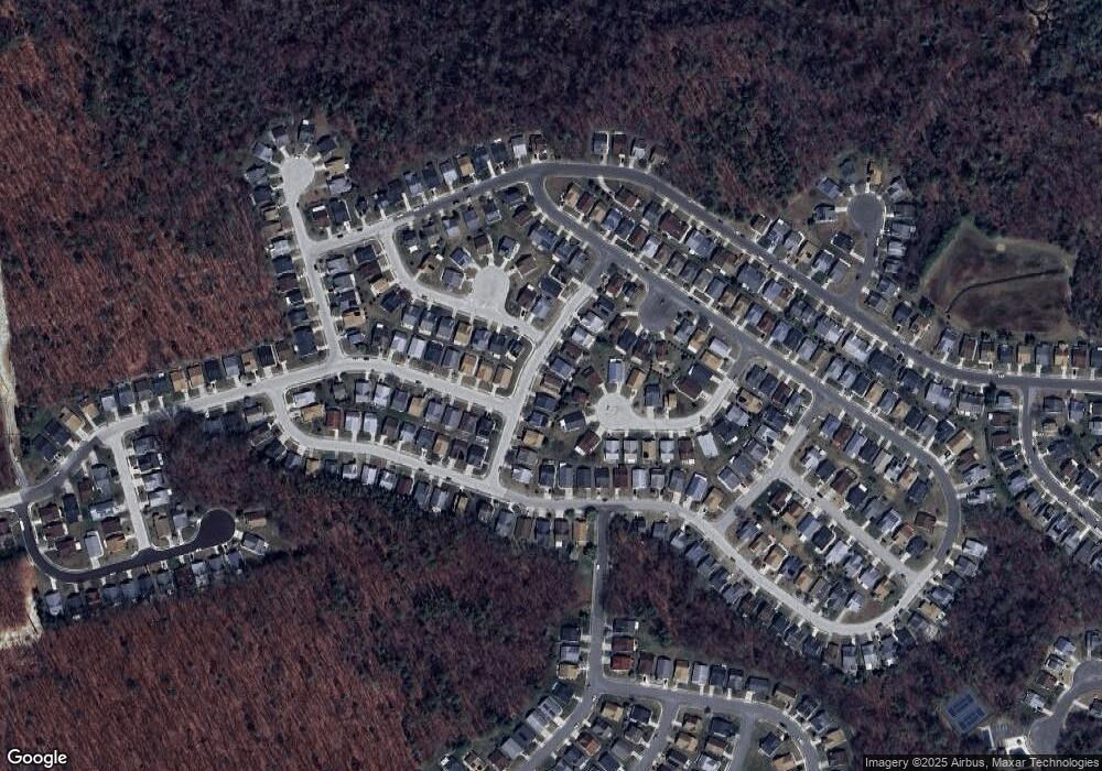
Map
Nearby Homes
- 617 Saint Vincent Ct
- 721 Virgin Island Dr
- 729 Barbados Dr
- 713 Barbados Dr
- 701 Barbados Dr
- 662 Barbados Dr
- 624 Riviera Dr
- 501 Trinidad Blvd
- 631 Barbados Dr
- 649 Panama Ct
- 710 Bordeaux Ct
- 563 Doral Dr
- 619 Barbados Dr
- 402 Paradise Rd
- 516 Saint Martin Ct
- 547 Doral Dr
- 552 Doral Dr
- 544 Saint Kitts Dr
- 507 Saint Kitts Dr
- 382 Saint Thomas Blvd
- 626 Maui Dr
- 601 Saint Vincent Ct
- 614 Maui Dr
- 630 Maui Dr
- 602 Saint Vincent Ct
- 734 Virgin Island Dr
- 700 Monaco Way
- 610 Maui Dr
- 634 Maui Dr
- 730 Virgin Island Dr
- 704 Monaco Way
- 609 Saint Vincent Ct
- 606 Saint Vincent Ct
- 701 Monaco Way
- 606 Maui Dr
- 638 Maui Dr
- 733 Virgin Island Dr
- 708 Monaco Way
- 726 Virgin Island Dr
- 613 Saint Vincent Ct