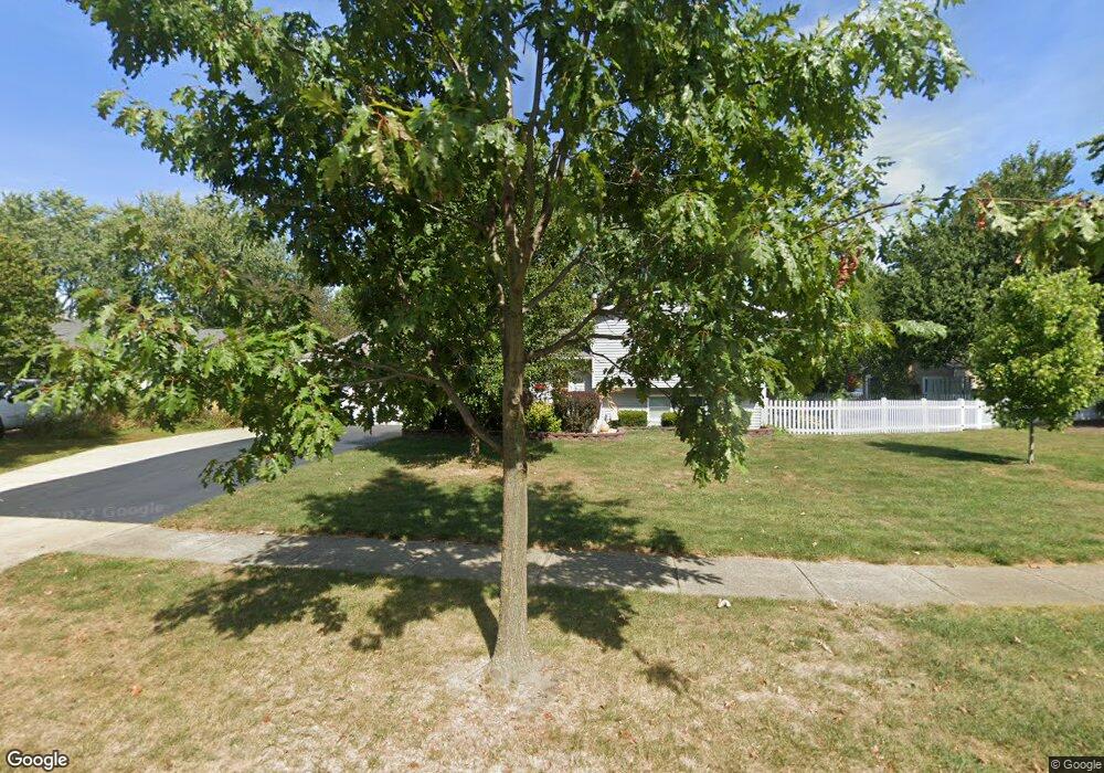
622 Michael Ave Westerville, OH 43081
Estimated Value: $305,000 - $341,060
3
Beds
2
Baths
1,228
Sq Ft
$260/Sq Ft
Est. Value
About This Home
This home is located at 622 Michael Ave, Westerville, OH 43081 and is currently estimated at $319,765, approximately $260 per square foot. 622 Michael Ave is a home located in Franklin County with nearby schools including Robert Frost Elementary School, Heritage Middle School, and Westerville-North High School.
Ownership History
Date
Name
Owned For
Owner Type
Purchase Details
Closed on
Jul 9, 2019
Sold by
Workman Tami I
Bought by
Workman Tami I and Workman John A
Current Estimated Value
Purchase Details
Closed on
Jun 7, 2006
Sold by
Morey William C
Bought by
Workman Tami J
Home Financials for this Owner
Home Financials are based on the most recent Mortgage that was taken out on this home.
Original Mortgage
$123,783
Outstanding Balance
$73,140
Interest Rate
6.66%
Mortgage Type
FHA
Estimated Equity
$246,625
Purchase Details
Closed on
Apr 30, 2001
Sold by
Morey William C
Bought by
Morey William C and Morey Kristal
Home Financials for this Owner
Home Financials are based on the most recent Mortgage that was taken out on this home.
Original Mortgage
$32,464
Interest Rate
7.07%
Mortgage Type
Stand Alone Second
Purchase Details
Closed on
Jul 24, 1990
Bought by
Morey William C
Create a Home Valuation Report for This Property
The Home Valuation Report is an in-depth analysis detailing your home's value as well as a comparison with similar homes in the area
Home Values in the Area
Average Home Value in this Area
Purchase History
| Date | Buyer | Sale Price | Title Company |
|---|---|---|---|
| Workman Tami I | -- | None Available | |
| Workman Tami J | $138,900 | Talon Group | |
| Morey William C | -- | Quality Title Agency Inc | |
| Morey William C | $75,900 | -- |
Source: Public Records
Mortgage History
| Date | Status | Borrower | Loan Amount |
|---|---|---|---|
| Open | Workman Tami J | $123,783 | |
| Previous Owner | Morey William C | $32,464 |
Source: Public Records
Tax History Compared to Growth
Tax History
| Year | Tax Paid | Tax Assessment Tax Assessment Total Assessment is a certain percentage of the fair market value that is determined by local assessors to be the total taxable value of land and additions on the property. | Land | Improvement |
|---|---|---|---|---|
| 2024 | $5,052 | $88,900 | $29,750 | $59,150 |
| 2023 | $4,945 | $88,900 | $29,750 | $59,150 |
| 2022 | $4,294 | $58,940 | $15,750 | $43,190 |
| 2021 | $4,330 | $58,940 | $15,750 | $43,190 |
| 2020 | $4,318 | $58,940 | $15,750 | $43,190 |
| 2019 | $3,748 | $48,300 | $15,750 | $32,550 |
| 2018 | $3,696 | $48,300 | $15,750 | $32,550 |
| 2017 | $3,763 | $48,300 | $15,750 | $32,550 |
| 2016 | $3,839 | $45,790 | $17,820 | $27,970 |
| 2015 | $3,718 | $45,790 | $17,820 | $27,970 |
| 2014 | $3,721 | $45,790 | $17,820 | $27,970 |
| 2013 | $1,770 | $43,610 | $16,975 | $26,635 |
Source: Public Records
Map
Nearby Homes
- 200 Matthew Ave
- 547 County Line Rd
- 150 Matthew Ave
- 718 Sugar Ct
- 589 E College Ave
- 368 E College Ave
- 364 E College Ave
- 768 Collingwood Dr
- 912 Lakeway Ct E
- 192 Buckeye Ct
- 974 Lakeland Dr
- 417 E Park St
- 182 Hillcrest Dr
- 267 Windemere Place
- 656 Olde Mill Dr
- 199 E College Ave
- 348 Buck Run Trail
- 223 Dogwood Ln
- 360 Potawatomi Dr
- 754 Kingsmead Rd Unit 18754