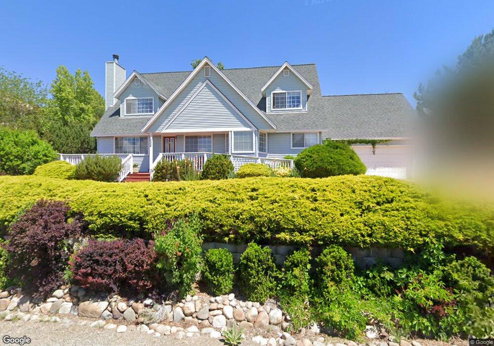
622 Northwood Dr Sparks, NV 89431
Reed NeighborhoodEstimated Value: $681,000 - $782,000
3
Beds
4
Baths
2,743
Sq Ft
$265/Sq Ft
Est. Value
About This Home
This home is located at 622 Northwood Dr, Sparks, NV 89431 and is currently estimated at $726,830, approximately $264 per square foot. 622 Northwood Dr is a home located in Washoe County with nearby schools including Lena Juniper Elementary School, Lou Mendive Middle School, and Edward C Reed High School.
Ownership History
Date
Name
Owned For
Owner Type
Purchase Details
Closed on
Mar 28, 2024
Sold by
Spencer Robert A and Spencer Dana A
Bought by
Spencer Family Trust and Spencer
Current Estimated Value
Purchase Details
Closed on
Nov 24, 1997
Sold by
Cuddy Charles Ernest and Cuddy Roberta Louise
Bought by
Spencer Robert A and Spencer Dana A
Home Financials for this Owner
Home Financials are based on the most recent Mortgage that was taken out on this home.
Original Mortgage
$220,000
Interest Rate
7.22%
Purchase Details
Closed on
Apr 11, 1996
Sold by
Cuddy Charles Ernest and Cuddy Roberta Louise
Bought by
Cuddy Charles Ernest and Cuddy Roberta Louise
Create a Home Valuation Report for This Property
The Home Valuation Report is an in-depth analysis detailing your home's value as well as a comparison with similar homes in the area
Home Values in the Area
Average Home Value in this Area
Purchase History
| Date | Buyer | Sale Price | Title Company |
|---|---|---|---|
| Spencer Family Trust | -- | None Listed On Document | |
| Spencer Robert A | $275,000 | Stewart Title | |
| Cuddy Charles Ernest | -- | -- |
Source: Public Records
Mortgage History
| Date | Status | Borrower | Loan Amount |
|---|---|---|---|
| Previous Owner | Spencer Robert A | $220,000 |
Source: Public Records
Tax History Compared to Growth
Tax History
| Year | Tax Paid | Tax Assessment Tax Assessment Total Assessment is a certain percentage of the fair market value that is determined by local assessors to be the total taxable value of land and additions on the property. | Land | Improvement |
|---|---|---|---|---|
| 2025 | $3,657 | $129,831 | $51,538 | $78,294 |
| 2024 | $3,657 | $128,333 | $48,213 | $80,121 |
| 2023 | $3,550 | $121,809 | $44,888 | $76,922 |
| 2022 | $3,447 | $109,847 | $44,888 | $64,959 |
| 2021 | $3,348 | $91,860 | $26,534 | $65,326 |
| 2020 | $3,249 | $92,682 | $26,534 | $66,148 |
| 2019 | $3,157 | $90,440 | $25,270 | $65,170 |
| 2018 | $3,064 | $83,193 | $18,953 | $64,240 |
| 2017 | $2,995 | $83,911 | $18,953 | $64,958 |
| 2016 | $2,922 | $85,892 | $18,953 | $66,939 |
| 2015 | $2,918 | $83,824 | $15,528 | $68,296 |
| 2014 | $2,830 | $76,790 | $10,141 | $66,649 |
| 2013 | -- | $76,809 | $10,939 | $65,870 |
Source: Public Records
Map
Nearby Homes
- 3595 Rocky Ridge Ct
- 3200 Bristle Branch Dr
- 3198 Bristle Branch Dr
- 3188 Bristle Branch Dr
- 3104 Sandy St
- 3167 Bristle Branch Dr
- 930 Spanish Springs Rd
- 3245 Elaine Way
- 3071 Meadowlands Dr
- 120 E Lenwood Dr
- 3545 4th St
- 1031 Vintage Hills Pkwy
- 1069 Palmwood Dr
- 3602 Oakridge Dr
- 3607 Keogh Dr
- 3465 Dawn Cir
- 745 Glen Vista Dr
- 1128 Bradley Square
- 1029 Baywood Dr Unit D
- 1035 Baywood Dr Unit D
- 612 Northwood Dr
- 632 Northwood Dr
- 3420 Teglia St
- 631 Northwood Dr
- 642 Northwood Dr
- 641 Northwood Dr
- 3451 Teglia St
- 3421 Teglia St
- 652 Northwood Dr
- 3410 Teglia St
- 651 Northwood Dr
- 640 E Queen Way
- 650 E Queen Way
- 3401 Teglia St
- 661 Northwood Dr
- 662 Northwood Dr
- 660 E Queen Way
- 3411 N Truckee Ln
- 563 E Queen Way
- 573 E Queen Way