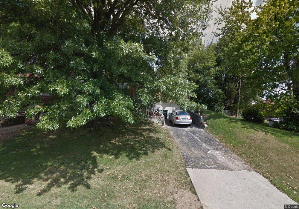
622 Roebling Rd Cincinnati, OH 45238
West Price Hill NeighborhoodEstimated Value: $118,000 - $134,000
2
Beds
1
Bath
840
Sq Ft
$151/Sq Ft
Est. Value
About This Home
This home is located at 622 Roebling Rd, Cincinnati, OH 45238 and is currently estimated at $127,197, approximately $151 per square foot. 622 Roebling Rd is a home located in Hamilton County with nearby schools including Carson School, Gilbert A. Dater High School, and Western Hills High School.
Ownership History
Date
Name
Owned For
Owner Type
Purchase Details
Closed on
Aug 24, 2015
Sold by
Allen Charlotte C and Fredrick Ura R
Bought by
Fredrick Ura R
Current Estimated Value
Purchase Details
Closed on
Aug 27, 1999
Sold by
Studer Michael
Bought by
Fredrick Ura R and Allen Charlotte C
Home Financials for this Owner
Home Financials are based on the most recent Mortgage that was taken out on this home.
Original Mortgage
$34,400
Interest Rate
7.77%
Create a Home Valuation Report for This Property
The Home Valuation Report is an in-depth analysis detailing your home's value as well as a comparison with similar homes in the area
Home Values in the Area
Average Home Value in this Area
Purchase History
| Date | Buyer | Sale Price | Title Company |
|---|---|---|---|
| Fredrick Ura R | -- | Attorney | |
| Fredrick Ura R | $55,300 | -- |
Source: Public Records
Mortgage History
| Date | Status | Borrower | Loan Amount |
|---|---|---|---|
| Closed | Fredrick Ura R | $34,400 |
Source: Public Records
Tax History Compared to Growth
Tax History
| Year | Tax Paid | Tax Assessment Tax Assessment Total Assessment is a certain percentage of the fair market value that is determined by local assessors to be the total taxable value of land and additions on the property. | Land | Improvement |
|---|---|---|---|---|
| 2024 | $944 | $25,715 | $5,317 | $20,398 |
| 2023 | $1,068 | $25,715 | $5,317 | $20,398 |
| 2022 | $594 | $17,361 | $5,282 | $12,079 |
| 2021 | $555 | $17,361 | $5,282 | $12,079 |
| 2020 | $587 | $17,361 | $5,282 | $12,079 |
| 2019 | $521 | $15,782 | $4,802 | $10,980 |
| 2018 | $522 | $15,782 | $4,802 | $10,980 |
| 2017 | $488 | $15,782 | $4,802 | $10,980 |
| 2016 | $665 | $18,284 | $5,131 | $13,153 |
| 2015 | $607 | $18,284 | $5,131 | $13,153 |
| 2014 | $613 | $18,284 | $5,131 | $13,153 |
| 2013 | $1,373 | $20,776 | $5,831 | $14,945 |
Source: Public Records
Map
Nearby Homes
- 4305 Sunburst Ln
- 4300 Foley Rd
- 4260 Delridge Dr
- 4240 Fehr Rd
- 4226 Skylark Dr
- 749 Wilbud Dr
- 617 Trenton Ave
- 4330 Schulte Dr
- 700 Trenton Ave
- 4247 Eighth St W
- 4082 Mardon Place
- 451 Kitty Ln
- 4667 Shadylawn Terrace
- 494 Lobob Ct
- 4511 Carnation Ave
- 440 Pedretti Ave
- 510 Angelnook Dr
- 4419 Ridgeview Ave
- 4747 Basil Ln
- 900 Kreis Ln
- 626 Roebling Rd
- 580 Rockwell Rd
- 565 Panorama Ct
- 616 Roebling Rd
- 630 Roebling Rd
- 569 Panorama Ct
- 582 Rockwell Rd
- 573 Panorama Ct
- 623 Roebling Rd
- 627 Roebling Rd
- 619 Roebling Rd
- 579 Panorama Ct
- 575 Rockwell Rd
- 631 Roebling Rd
- 586 Rockwell Rd
- 615 Roebling Rd
- 566 Panorama Ct
- 635 Roebling Rd
- 611 Roebling Rd
- 581 Panorama Ct