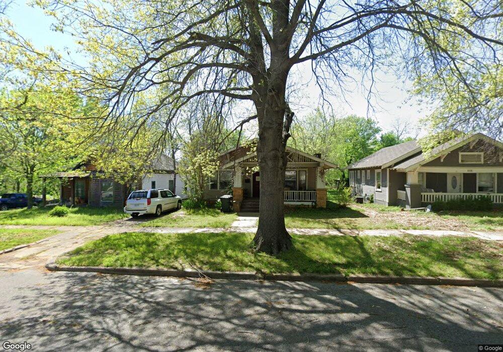
622 S Oak St Sapulpa, OK 74066
Estimated Value: $151,797 - $174,000
2
Beds
1
Bath
1,344
Sq Ft
$119/Sq Ft
Est. Value
About This Home
This home is located at 622 S Oak St, Sapulpa, OK 74066 and is currently estimated at $160,449, approximately $119 per square foot. 622 S Oak St is a home located in Creek County with nearby schools including Sapulpa Junior High School, Sapulpa Middle School, and Sapulpa High School.
Ownership History
Date
Name
Owned For
Owner Type
Purchase Details
Closed on
Jun 24, 2008
Sold by
Taylor Debra D
Bought by
Mcintosh Carol E
Current Estimated Value
Home Financials for this Owner
Home Financials are based on the most recent Mortgage that was taken out on this home.
Original Mortgage
$25,000
Outstanding Balance
$15,993
Interest Rate
5.99%
Mortgage Type
New Conventional
Estimated Equity
$144,456
Purchase Details
Closed on
Dec 21, 2006
Sold by
Willis Robyn and Willis Kristi D
Bought by
Taylor Debra D
Home Financials for this Owner
Home Financials are based on the most recent Mortgage that was taken out on this home.
Original Mortgage
$89,075
Interest Rate
6.27%
Mortgage Type
Unknown
Create a Home Valuation Report for This Property
The Home Valuation Report is an in-depth analysis detailing your home's value as well as a comparison with similar homes in the area
Home Values in the Area
Average Home Value in this Area
Purchase History
| Date | Buyer | Sale Price | Title Company |
|---|---|---|---|
| Mcintosh Carol E | $98,000 | Frisco Title Corpration | |
| Taylor Debra D | $87,500 | None Available |
Source: Public Records
Mortgage History
| Date | Status | Borrower | Loan Amount |
|---|---|---|---|
| Open | Mcintosh Carol E | $25,000 | |
| Previous Owner | Taylor Debra D | $89,075 |
Source: Public Records
Tax History Compared to Growth
Tax History
| Year | Tax Paid | Tax Assessment Tax Assessment Total Assessment is a certain percentage of the fair market value that is determined by local assessors to be the total taxable value of land and additions on the property. | Land | Improvement |
|---|---|---|---|---|
| 2025 | $1,081 | $11,079 | $1,312 | $9,767 |
| 2024 | $1,104 | $11,080 | $1,232 | $9,848 |
| 2023 | $1,104 | $11,079 | $1,392 | $9,687 |
| 2022 | $1,006 | $10,757 | $1,392 | $9,365 |
| 2021 | $1,158 | $11,760 | $1,295 | $10,465 |
| 2020 | $1,151 | $11,760 | $1,246 | $10,514 |
| 2019 | $1,157 | $11,760 | $1,236 | $10,524 |
| 2018 | $1,181 | $11,760 | $1,170 | $10,590 |
| 2017 | $1,295 | $11,760 | $1,170 | $10,590 |
| 2016 | $1,231 | $11,760 | $1,170 | $10,590 |
| 2015 | -- | $11,760 | $1,170 | $10,590 |
| 2014 | -- | $11,760 | $1,170 | $10,590 |
Source: Public Records
Map
Nearby Homes
- 612 S Park St
- 509 S Park St
- 507 S Park St
- 320 E Mckinley Ave
- 511 S Maple St
- 702 S Main St
- 724 S Main St
- 609 S Poplar St
- 706 S Poplar St
- 637 S Mounds St
- 207 S Walnut St
- 317 S Poplar St
- 210 S Water St
- 314 S Poplar St
- 706 E Thompson Ave
- 724 S Cedar St
- 0 Division St Unit 2535888
- 111 S Poplar St
- 303 W Mckinley Ave
- 910 S Diane St