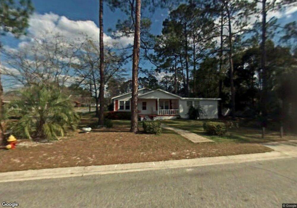
622 Saint Marys Dr Waycross, GA 31501
Estimated Value: $142,914 - $163,000
2
Beds
2
Baths
1,552
Sq Ft
$96/Sq Ft
Est. Value
About This Home
This home is located at 622 Saint Marys Dr, Waycross, GA 31501 and is currently estimated at $148,229, approximately $95 per square foot. 622 Saint Marys Dr is a home located in Ware County with nearby schools including Williams Heights Elementary School, Waycross Middle School, and Ware County High School.
Ownership History
Date
Name
Owned For
Owner Type
Purchase Details
Closed on
Feb 7, 2025
Sold by
Golden Isles Ctm Llc
Bought by
Mcrae Re Holding Llc
Current Estimated Value
Purchase Details
Closed on
Dec 7, 2021
Sold by
Courson Timothy W
Bought by
Golden Isles Ctm Llc
Purchase Details
Closed on
Dec 16, 2011
Sold by
Hyers Taia R
Bought by
Courson Timothy W
Purchase Details
Closed on
Jan 28, 2003
Sold by
Hyers Tania
Bought by
Hyers Tania Terris L Joyner Tonya J
Purchase Details
Closed on
Nov 4, 1991
Bought by
Hyers Tania
Purchase Details
Closed on
Oct 11, 1991
Bought by
Joyner Nancy Deloric
Create a Home Valuation Report for This Property
The Home Valuation Report is an in-depth analysis detailing your home's value as well as a comparison with similar homes in the area
Home Values in the Area
Average Home Value in this Area
Purchase History
| Date | Buyer | Sale Price | Title Company |
|---|---|---|---|
| Mcrae Re Holding Llc | -- | -- | |
| Golden Isles Ctm Llc | $64,000 | -- | |
| Courson Timothy W | -- | -- | |
| Hyers Tania Terris L Joyner Tonya J | -- | -- | |
| Hyers Tania | -- | -- | |
| Joyner Nancy Deloric | -- | -- |
Source: Public Records
Tax History Compared to Growth
Tax History
| Year | Tax Paid | Tax Assessment Tax Assessment Total Assessment is a certain percentage of the fair market value that is determined by local assessors to be the total taxable value of land and additions on the property. | Land | Improvement |
|---|---|---|---|---|
| 2024 | $1,467 | $47,648 | $3,360 | $44,288 |
| 2023 | $1,643 | $30,234 | $1,376 | $28,858 |
| 2022 | $1,214 | $30,462 | $1,376 | $29,086 |
| 2021 | $1,016 | $23,502 | $688 | $22,814 |
| 2020 | $1,011 | $23,190 | $688 | $22,502 |
| 2019 | $860 | $19,452 | $688 | $18,764 |
| 2018 | $833 | $18,673 | $688 | $17,985 |
| 2017 | $814 | $18,673 | $688 | $17,985 |
| 2016 | $814 | $18,673 | $688 | $17,985 |
| 2015 | $820 | $18,673 | $688 | $17,985 |
| 2014 | $819 | $18,673 | $688 | $17,985 |
| 2013 | -- | $14,206 | $688 | $13,518 |
Source: Public Records
Map
Nearby Homes
- 808 Satilla Blvd
- 713 Magnolia Dr
- 0 Goodwin St
- 506 Magnolia Dr
- 903 Atlantic Ave
- 1101 Cherokee Dr
- 7438 Central Ave
- 511 Richmond Ave
- 1100 Atlantic Ave
- 0 Saint Marys Dr Unit (TRACT 2 0.25 ACRES)
- 1205 Dean Dr
- 924 Highsmith St
- 707 Euclid Ave
- 907 Euclid Ave
- 807 College St
- 807 City Blvd
- 1002 Baltimore Ave
- 1100 Euclid Ave
- 1204 Richmond Ave
- 1009 Euclid Ave
- 620 Saint Marys Dr
- 802 Florence St
- 619 Oakwood Ave
- 801 Florence St
- 618 St Marys Dr
- 618 Saint Marys Dr
- 617 Oakwood Ave
- 616 Saint Marys Dr
- 706 St Mary's Dr
- 706 Saint Marys Dr
- 613 Oakwood Ave
- 616 Oakwood Ave
- 700 Oakwood Ave
- 612 Saint Marys Dr
- 612 St Mary's Dr
- 710 St Mary's Dr
- 612 Oakwood Ave
- 710 Saint Marys Dr
- 706 Oakwood Ave
- 802 Central Ave