622 Sandy Bend Rd Castle Rock, WA 98611
Estimated Value: $622,000 - $797,654
3
Beds
2
Baths
2,633
Sq Ft
$264/Sq Ft
Est. Value
About This Home
This home is located at 622 Sandy Bend Rd, Castle Rock, WA 98611 and is currently estimated at $695,414, approximately $264 per square foot. 622 Sandy Bend Rd is a home with nearby schools including Castle Rock Elementary School, Castle Rock Middle School, and Castle Rock High School.
Ownership History
Date
Name
Owned For
Owner Type
Purchase Details
Closed on
Nov 10, 2006
Sold by
Langden Colleen J and Daniels John P
Bought by
Inman Joseph L and Inman Lori K
Current Estimated Value
Create a Home Valuation Report for This Property
The Home Valuation Report is an in-depth analysis detailing your home's value as well as a comparison with similar homes in the area
Home Values in the Area
Average Home Value in this Area
Purchase History
| Date | Buyer | Sale Price | Title Company |
|---|---|---|---|
| Inman Joseph L | -- | Transnation Title |
Source: Public Records
Tax History Compared to Growth
Tax History
| Year | Tax Paid | Tax Assessment Tax Assessment Total Assessment is a certain percentage of the fair market value that is determined by local assessors to be the total taxable value of land and additions on the property. | Land | Improvement |
|---|---|---|---|---|
| 2024 | $6,311 | $758,470 | $88,550 | $669,920 |
| 2023 | $6,447 | $816,080 | $88,550 | $727,530 |
| 2022 | $4,806 | $710,960 | $88,550 | $622,410 |
| 2021 | $4,345 | $540,710 | $88,550 | $452,160 |
| 2020 | $4,658 | $474,000 | $77,000 | $397,000 |
| 2019 | $3,943 | $527,280 | $75,498 | $451,782 |
| 2018 | $4,296 | $439,840 | $75,500 | $364,340 |
| 2017 | $3,519 | $414,490 | $71,900 | $342,590 |
| 2016 | $3,102 | $343,110 | $68,480 | $274,630 |
| 2015 | $1,685 | $325,130 | $68,480 | $256,650 |
| 2013 | -- | $87,100 | $64,640 | $22,460 |
Source: Public Records
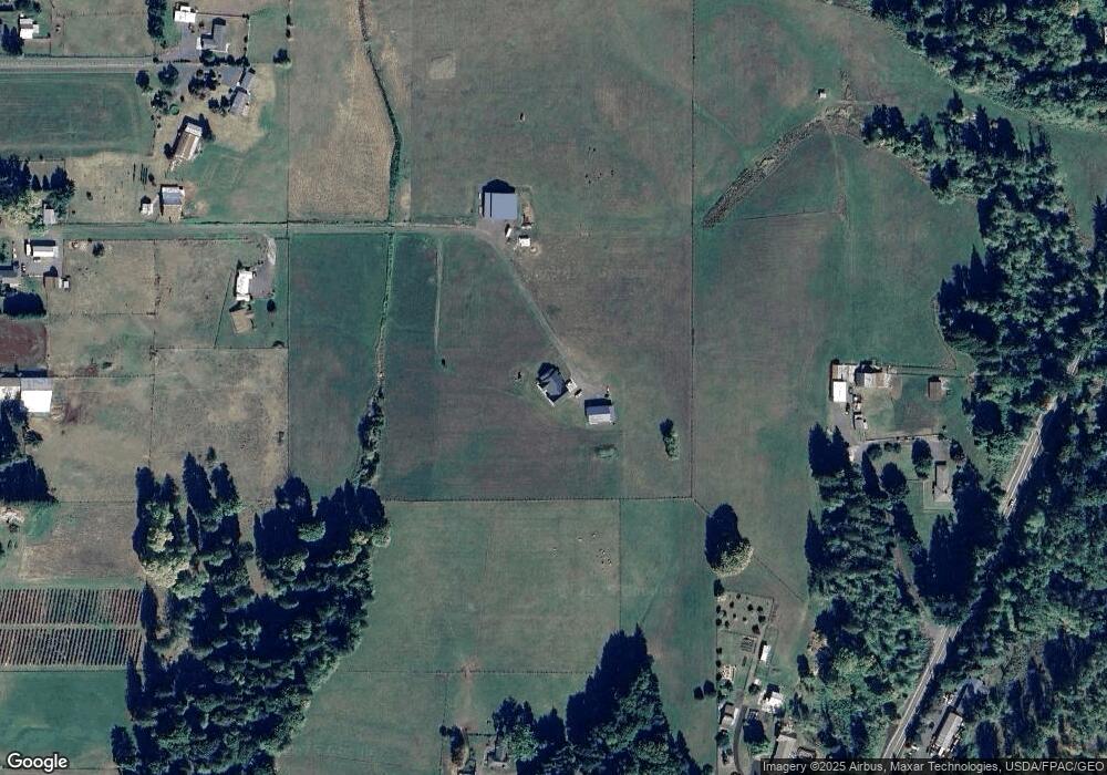
Map
Nearby Homes
- 3820 Westside Hwy
- 410 Hicks Rd
- 107 Guinevere Ct
- 4630 Pleasant Hill Rd
- 6609 Westside Hwy
- 4339 Pleasant Hill Rd
- 0 Huntington Ave S Unit NWM2336096
- 4335 Pleasant Hill Rd
- 1020 3rd Ave SW
- 56 Shear St SW
- 100 Thimbleberry Dr
- 705 1st Ave SW
- 642 5th Ave SW
- 546 4th Ave SW
- 152 Sakari Ln
- 2601 Westside Hwy
- 1 D St SW
- 110 Dryad Ln
- 438 Front Ave SW
- 237 C St SW
- 3507 Westside Hwy
- 3425 Westside Hwy
- 3413 Westside Hwy
- 3421 Westside Hwy
- 3504 Westside Hwy
- 636 Sandy Bend Rd
- 106 Sandwood Crest Dr
- 3411 Westside Hwy
- 108 Sandwood Crest Dr
- 104 Sandwood Crest Dr
- 702 Sandy Bend Rd
- 102 Cook Ferry Rd
- 100 Sandwood Crest Dr
- 616 Sandy Bend Rd
- 3502 Westside Hwy
- 415 Waters Rd
- 534 Sandy Bend Rd
- 200 Sandwood Crest Dr