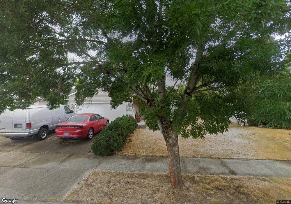
622 SE 71st Ave Hillsboro, OR 97123
Southeast Hillsboro NeighborhoodEstimated Value: $472,000 - $536,431
3
Beds
2
Baths
1,444
Sq Ft
$348/Sq Ft
Est. Value
About This Home
This home is located at 622 SE 71st Ave, Hillsboro, OR 97123 and is currently estimated at $503,108, approximately $348 per square foot. 622 SE 71st Ave is a home located in Washington County with nearby schools including Imlay Elementary School, R.A. Brown Middle School, and Century High School.
Ownership History
Date
Name
Owned For
Owner Type
Purchase Details
Closed on
Jan 23, 2024
Sold by
Ekerson David A
Bought by
David Allen Ekerson Living Trust and Ekerson
Current Estimated Value
Purchase Details
Closed on
Jan 10, 2000
Sold by
Vaughn Gary L
Bought by
Ekerson David A
Home Financials for this Owner
Home Financials are based on the most recent Mortgage that was taken out on this home.
Original Mortgage
$144,683
Interest Rate
7.72%
Mortgage Type
FHA
Create a Home Valuation Report for This Property
The Home Valuation Report is an in-depth analysis detailing your home's value as well as a comparison with similar homes in the area
Home Values in the Area
Average Home Value in this Area
Purchase History
| Date | Buyer | Sale Price | Title Company |
|---|---|---|---|
| David Allen Ekerson Living Trust | -- | None Listed On Document | |
| Ekerson David A | $154,712 | Fidelity National Title Co |
Source: Public Records
Mortgage History
| Date | Status | Borrower | Loan Amount |
|---|---|---|---|
| Previous Owner | Ekerson David A | $144,683 |
Source: Public Records
Tax History Compared to Growth
Tax History
| Year | Tax Paid | Tax Assessment Tax Assessment Total Assessment is a certain percentage of the fair market value that is determined by local assessors to be the total taxable value of land and additions on the property. | Land | Improvement |
|---|---|---|---|---|
| 2025 | $3,980 | $243,520 | -- | -- |
| 2024 | $3,867 | $236,430 | -- | -- |
| 2023 | $3,867 | $229,550 | $0 | $0 |
| 2022 | $3,763 | $229,550 | $0 | $0 |
| 2021 | $3,687 | $216,380 | $0 | $0 |
| 2020 | $3,607 | $210,080 | $0 | $0 |
| 2019 | $3,504 | $203,970 | $0 | $0 |
| 2018 | $3,354 | $198,030 | $0 | $0 |
| 2017 | $3,232 | $192,270 | $0 | $0 |
| 2016 | $3,144 | $186,670 | $0 | $0 |
| 2015 | $3,017 | $181,240 | $0 | $0 |
| 2014 | $3,000 | $175,970 | $0 | $0 |
Source: Public Records
Map
Nearby Homes
- 7259 SE Harnish St
- 6874 SE Ariel St
- 7200 SE Harnish St
- 818 SE 68th Place
- 7082 SE Lois St
- 6641 SE Wrenfield St
- 569 NE Natalie St
- 7397 SE Langwood St
- 279 NE Natalie St
- 7307 NE Nelly St
- 6461 SE Maple St
- 7355 SE Frances St
- 1355 SE 68th Ave
- 6417 SE Maple St
- 21525 SW Frammy Way
- 154 NE Danbury Ave
- 146 NE Woodsong St
- 21612 SW Kristin Ct
- 194 NE 78th Ave
- 155 NE Woodsong St
- 598 SE 71st Ave
- 640 SE 71st Ave
- 572 SE 71st Ave
- 664 SE 71st Ave
- 617 SE 72nd Ave
- 641 SE 72nd Ave
- 595 SE 72nd Ave
- 570 SE 71st Ave
- 663 SE 72nd Ave
- 571 SE 72nd Ave
- 629 SE 71st Ave
- 601 SE 71st Ave
- 680 SE 71st Ave
- 564 SE 71st Ave
- 7074 SE Madison St
- 7074 SE Madison St-Relist
- 645 SE 71st Ave
- 647 SE 71st Ave
- 681 SE 72nd Ave
- 669 SE 71st Ave