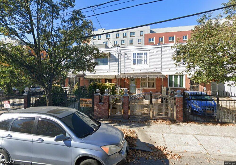
622 Snediker Ave Brooklyn, NY 11207
Brownsville NeighborhoodEstimated Value: $543,501 - $697,000
--
Bed
--
Bath
1,332
Sq Ft
$471/Sq Ft
Est. Value
About This Home
This home is located at 622 Snediker Ave, Brooklyn, NY 11207 and is currently estimated at $626,875, approximately $470 per square foot. 622 Snediker Ave is a home located in Kings County with nearby schools including P.S. 190 - Sheffield and Achievement First - East New York School.
Ownership History
Date
Name
Owned For
Owner Type
Purchase Details
Closed on
Dec 19, 2001
Sold by
Nehemiah Housing Develop
Bought by
Daley Sandra D
Current Estimated Value
Home Financials for this Owner
Home Financials are based on the most recent Mortgage that was taken out on this home.
Original Mortgage
$77,000
Interest Rate
7.15%
Create a Home Valuation Report for This Property
The Home Valuation Report is an in-depth analysis detailing your home's value as well as a comparison with similar homes in the area
Home Values in the Area
Average Home Value in this Area
Purchase History
| Date | Buyer | Sale Price | Title Company |
|---|---|---|---|
| Daley Sandra D | -- | -- |
Source: Public Records
Mortgage History
| Date | Status | Borrower | Loan Amount |
|---|---|---|---|
| Previous Owner | Daley Sandra D | $77,000 |
Source: Public Records
Tax History Compared to Growth
Tax History
| Year | Tax Paid | Tax Assessment Tax Assessment Total Assessment is a certain percentage of the fair market value that is determined by local assessors to be the total taxable value of land and additions on the property. | Land | Improvement |
|---|---|---|---|---|
| 2025 | $4,203 | $35,400 | $11,640 | $23,760 |
| 2024 | $4,203 | $36,720 | $11,640 | $25,080 |
| 2023 | $2,828 | $38,640 | $11,640 | $27,000 |
| 2022 | $2,520 | $31,860 | $11,640 | $20,220 |
| 2021 | $3,651 | $27,600 | $11,640 | $15,960 |
| 2020 | $2,738 | $25,320 | $11,640 | $13,680 |
| 2019 | $2,883 | $24,960 | $11,640 | $13,320 |
| 2018 | $2,350 | $17,556 | $6,137 | $11,419 |
| 2017 | $2,051 | $16,588 | $6,475 | $10,113 |
| 2016 | $1,793 | $16,588 | $6,475 | $10,113 |
| 2015 | $287 | $16,436 | $6,323 | $10,113 |
| 2014 | $287 | $15,506 | $5,393 | $10,113 |
Source: Public Records
Map
Nearby Homes
- 584 Hinsdale St
- 442 Newport St
- 589 Hinsdale St
- 650 Williams Ave
- 660 Williams Ave Unit 142
- 563 Powell St
- 541 Hinsdale St
- 533 Snediker Ave
- 582 Williams Ave
- 578 Williams Ave
- 576 Williams Ave
- 1753 Linden Blvd
- 1755 Linden Blvd
- 610 Alabama Ave
- 606 Alabama Ave
- 546 Powell St
- 699 Sackman St
- 555 Christopher Ave
- 1825 Linden Blvd
- 797 Mother Gaston Blvd
- 620 Snediker Ave
- 626 Snediker Ave
- 618 Snediker Ave
- 614 Snediker Ave
- 610 Snediker Ave
- 608 Snediker Ave
- 677 van Sinderen Ave
- 195 New Lots Ave
- 634 Snediker Ave
- 606 Snediker Ave
- 201 New Lots Ave
- 636 Snediker Ave
- 602 Snediker Ave
- 203 New Lots Ave
- 638 Snediker Ave
- 600 Snediker Ave
- 205 New Lots Ave
- 205 New Lots Ave Unit Building
- 640 Snediker Ave
- 196 New Lots Ave