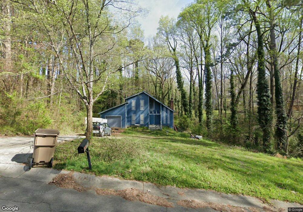
622 the General Ave Woodstock, GA 30189
Oak Grove NeighborhoodEstimated Value: $361,000 - $371,697
3
Beds
2
Baths
2,208
Sq Ft
$166/Sq Ft
Est. Value
About This Home
This home is located at 622 the General Ave, Woodstock, GA 30189 and is currently estimated at $366,349, approximately $165 per square foot. 622 the General Ave is a home located in Cherokee County with nearby schools including Carmel Elementary School, Woodstock Middle School, and Woodstock High School.
Ownership History
Date
Name
Owned For
Owner Type
Purchase Details
Closed on
Feb 20, 2024
Sold by
Davis Richard
Bought by
Davis Richard Daniel and Davis Samantha Kelly
Current Estimated Value
Create a Home Valuation Report for This Property
The Home Valuation Report is an in-depth analysis detailing your home's value as well as a comparison with similar homes in the area
Home Values in the Area
Average Home Value in this Area
Purchase History
| Date | Buyer | Sale Price | Title Company |
|---|---|---|---|
| Davis Richard Daniel | -- | -- |
Source: Public Records
Tax History Compared to Growth
Tax History
| Year | Tax Paid | Tax Assessment Tax Assessment Total Assessment is a certain percentage of the fair market value that is determined by local assessors to be the total taxable value of land and additions on the property. | Land | Improvement |
|---|---|---|---|---|
| 2025 | $3,598 | $153,288 | $28,000 | $125,288 |
| 2024 | $3,311 | $139,808 | $28,000 | $111,808 |
| 2023 | $2,513 | $122,528 | $26,000 | $96,528 |
| 2022 | $2,715 | $109,968 | $22,000 | $87,968 |
| 2021 | $2,454 | $86,448 | $18,000 | $68,448 |
| 2020 | $2,310 | $81,288 | $14,400 | $66,888 |
| 2019 | $2,260 | $79,520 | $14,400 | $65,120 |
| 2018 | $1,809 | $63,280 | $10,400 | $52,880 |
| 2017 | $1,805 | $156,600 | $10,400 | $52,240 |
| 2016 | $1,765 | $151,600 | $10,400 | $50,240 |
| 2015 | $1,417 | $120,500 | $10,400 | $37,800 |
| 2014 | $1,201 | $101,900 | $10,400 | $30,360 |
Source: Public Records
Map
Nearby Homes
- 367 Lake Forest Dr
- 405 Hobo Ln
- 259 Lake Forest Dr
- 5198 Legendary Tarn
- 5216 Legendary Ln
- 611 Ashley Forest Dr NW
- 5160 Legendary Ln
- 1071 Ferry Creek Way
- 5173 Legendary Ln
- 1162 Rolling Green Dr
- 1172 Ridgeside Dr NW
- 5345 Cross Creek Cove
- 5119 Verbena Dr NW
- 216 Don John Trail
- 1033 Justice Ln NW
- 5114 Verbena Dr NW
- 4824 Chelsea Way NW
- 5292 Bells Ferry Rd
- 618 the General Ave
- 519 Whistlestop Dr
- 621 the General Ave
- 623 the General Ave
- 619 the General Ave
- 517 Whistlestop Dr
- 523 Whistlestop Dr
- 515 Whistlestop Dr
- 615 the General Ave
- 5272 Bells Ferry Rd
- 712 Overland Trail
- 520 Whistle Dr
- 614 the General Ave
- 5345 Bells Ferry Rd
- 522 Whistlestop Dr
- 513 Whistlestop Dr
- 513 Whistle Unit Dr
- 0 the General Ave Unit 8749790
- 0 the General Ave Unit 8041124