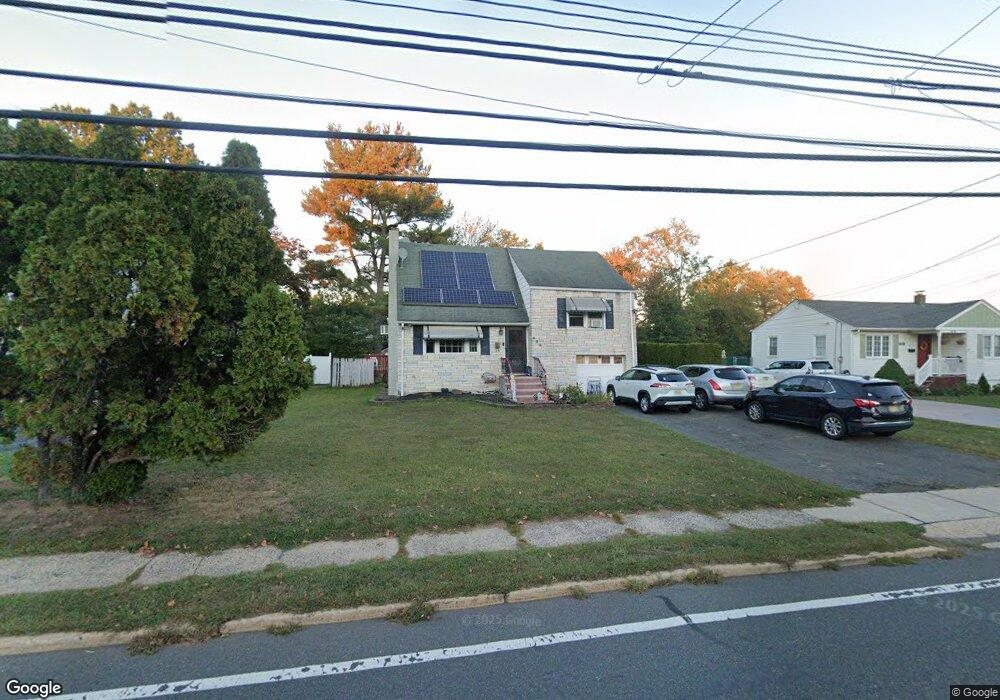
622 Thompson Ave Bound Brook, NJ 08805
Estimated Value: $495,531 - $625,000
Studio
--
Bath
1,600
Sq Ft
$344/Sq Ft
Est. Value
About This Home
This home is located at 622 Thompson Ave, Bound Brook, NJ 08805 and is currently estimated at $551,133, approximately $344 per square foot. 622 Thompson Ave is a home located in Somerset County with nearby schools including LaMonte Annex Elementary School, Lafayette Elementary School, and Bound Brook High School.
Ownership History
Date
Name
Owned For
Owner Type
Purchase Details
Closed on
Oct 6, 1998
Sold by
Hernandez Jose
Bought by
Singh Sadhu and Singh Anrik
Current Estimated Value
Home Financials for this Owner
Home Financials are based on the most recent Mortgage that was taken out on this home.
Original Mortgage
$105,000
Outstanding Balance
$23,028
Interest Rate
6.92%
Estimated Equity
$528,105
Purchase Details
Closed on
Apr 2, 1990
Sold by
Shubeck Emil J and Shubeck Mary T
Bought by
Hernandez Jose and Hernandez Haydee
Create a Home Valuation Report for This Property
The Home Valuation Report is an in-depth analysis detailing your home's value as well as a comparison with similar homes in the area
Home Values in the Area
Average Home Value in this Area
Purchase History
| Date | Buyer | Sale Price | Title Company |
|---|---|---|---|
| Singh Sadhu | $140,000 | -- | |
| Hernandez Jose | $154,000 | -- |
Source: Public Records
Mortgage History
| Date | Status | Borrower | Loan Amount |
|---|---|---|---|
| Open | Singh Sadhu | $105,000 |
Source: Public Records
Tax History
| Year | Tax Paid | Tax Assessment Tax Assessment Total Assessment is a certain percentage of the fair market value that is determined by local assessors to be the total taxable value of land and additions on the property. | Land | Improvement |
|---|---|---|---|---|
| 2025 | $9,119 | $425,500 | $222,300 | $203,200 |
| 2024 | $8,732 | $401,900 | $204,300 | $197,600 |
Source: Public Records
Map
Nearby Homes
- 428 Helfin St
- 22 Glen Rd
- 617 Vosseller Ave
- 606 Vosseller Ave
- 561 Marion St
- 514 Longwood Ave
- 309 Stratford Place Unit 309
- 265 Metape Cir S
- 126 W High St
- 432 Talmage Ave
- 162 Linden Ave
- 261 W Main St
- 650 Central Ave
- 306 Church St
- 17 Talmage Ave
- 328 John St
- 589 Mountain Ave
- 315 East St
- 26 Louis Ave
- 20 van Syckle Blvd
- 618 Thompson Ave
- 626 Thompson Ave
- 528 Helfin St
- 630 Thompson Ave
- 602 Thompson Ave
- 605 Thompson Ave
- 441 William St
- 607 Thompson Ave
- 609 Thompson Ave
- 611 Thompson Ave
- 613 Thompson Ave
- 426 Helfin St
- 0 Helfin St
- 439 William St
- 617 Thompson Ave
- 16 Village Ct
- 608 Crescent Dr
- 12 Village Ct
- 14 Village Ct
- 20 Village Ct
Your Personal Tour Guide
Ask me questions while you tour the home.