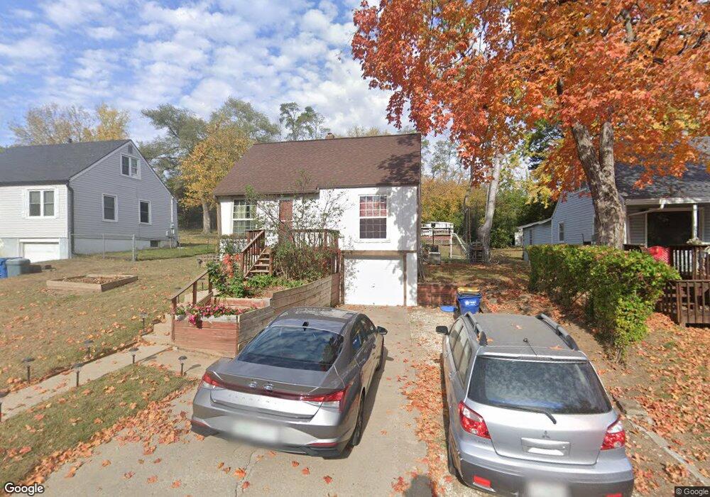
622 Thornton St Liberty, MO 64068
Estimated Value: $206,000 - $228,000
3
Beds
2
Baths
941
Sq Ft
$231/Sq Ft
Est. Value
About This Home
This home is located at 622 Thornton St, Liberty, MO 64068 and is currently estimated at $217,368, approximately $230 per square foot. 622 Thornton St is a home located in Clay County with nearby schools including Ridgeview Elementary School, Heritage Middle School, and Liberty North High School.
Ownership History
Date
Name
Owned For
Owner Type
Purchase Details
Closed on
Dec 27, 2000
Sold by
Zamora Franklin and Zamora Paula G
Bought by
Jarvis Michael C
Current Estimated Value
Home Financials for this Owner
Home Financials are based on the most recent Mortgage that was taken out on this home.
Original Mortgage
$78,075
Outstanding Balance
$29,204
Interest Rate
7.73%
Mortgage Type
FHA
Estimated Equity
$188,164
Purchase Details
Closed on
Nov 22, 1999
Sold by
B Z Properties
Bought by
Zamora Frank and Zamora Paula
Create a Home Valuation Report for This Property
The Home Valuation Report is an in-depth analysis detailing your home's value as well as a comparison with similar homes in the area
Home Values in the Area
Average Home Value in this Area
Purchase History
| Date | Buyer | Sale Price | Title Company |
|---|---|---|---|
| Jarvis Michael C | -- | -- | |
| Zamora Frank | -- | -- |
Source: Public Records
Mortgage History
| Date | Status | Borrower | Loan Amount |
|---|---|---|---|
| Open | Jarvis Michael C | $78,075 |
Source: Public Records
Tax History Compared to Growth
Tax History
| Year | Tax Paid | Tax Assessment Tax Assessment Total Assessment is a certain percentage of the fair market value that is determined by local assessors to be the total taxable value of land and additions on the property. | Land | Improvement |
|---|---|---|---|---|
| 2025 | $1,499 | $21,700 | -- | -- |
| 2024 | $1,499 | $19,490 | -- | -- |
| 2023 | $1,524 | $19,490 | $0 | $0 |
| 2022 | $1,385 | $17,480 | $0 | $0 |
| 2021 | $1,374 | $17,480 | $4,750 | $12,730 |
| 2020 | $1,309 | $15,640 | $0 | $0 |
| 2019 | $1,309 | $15,637 | $3,800 | $11,837 |
| 2018 | $1,175 | $13,790 | $0 | $0 |
| 2017 | $1,164 | $13,790 | $3,040 | $10,750 |
| 2016 | $1,164 | $13,790 | $3,040 | $10,750 |
| 2015 | $1,165 | $13,790 | $3,040 | $10,750 |
| 2014 | $1,174 | $13,790 | $3,040 | $10,750 |
Source: Public Records
Map
Nearby Homes
- 15 Valley Rd
- 605 Reed St
- 116 Dorsey St
- 324 Harrison St
- 1025 Orchard Ave
- 194 Camelot Dr
- 412 N Fairview Ave
- 21 Cedar St
- 17 Main Ct
- 307 N Gallatin St
- 206 Groom St
- 815 Kings Ridge
- 819 S Main St
- 1209 Liberty Drive Terrace
- 0 N Water St
- 215 Grant St
- 125 N Leonard St
- 134 S Lincoln St
- 606 N Morse Ave
- 913 S Missouri St
- 628 Thornton St
- 618 Thornton St
- 612 Thornton St
- 634 Thornton St
- 606 Thornton St
- 638 Thornton St
- 621 Thornton St
- 627 Thornton St
- 633 Thornton St
- 611 Thornton St
- 600 Thornton St
- 703 Hillside Ave
- 637 Hillside Ave
- 637 Thornton St
- 605 Thornton St
- 716 W Liberty Dr
- 629 Hillside Ave
- 650 Thornton St
- 643 Thornton St
- 601 Thornton St