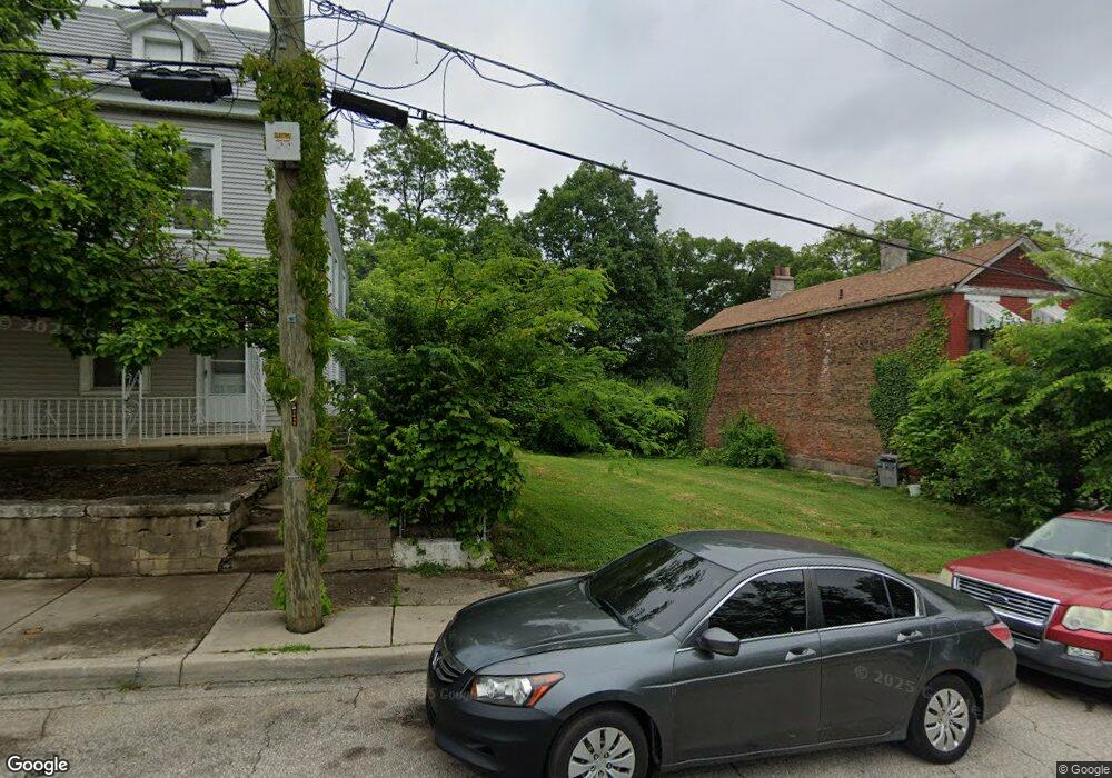
622 Union St Cincinnati, OH 45229
Avondale NeighborhoodEstimated Value: $37,000 - $260,000
3
Beds
2
Baths
1,344
Sq Ft
$110/Sq Ft
Est. Value
About This Home
This home is located at 622 Union St, Cincinnati, OH 45229 and is currently estimated at $148,500, approximately $110 per square foot. 622 Union St is a home located in Hamilton County with nearby schools including Frederick Douglass Elementary School, Robert A. Taft Information Technology High School, and Clark Montessori High School.
Ownership History
Date
Name
Owned For
Owner Type
Purchase Details
Closed on
Dec 3, 2019
Sold by
Rabb Fernando
Bought by
Union Street Holdings Llc
Current Estimated Value
Purchase Details
Closed on
Jul 23, 2009
Sold by
Bates Colleen
Bought by
Kabb Fernando
Purchase Details
Closed on
Feb 9, 2009
Sold by
Rabb Fernando
Bought by
Bates Colleen
Purchase Details
Closed on
Feb 24, 2003
Sold by
Colleen Blackmon and Colleen C
Bought by
Rabb Fernando
Create a Home Valuation Report for This Property
The Home Valuation Report is an in-depth analysis detailing your home's value as well as a comparison with similar homes in the area
Home Values in the Area
Average Home Value in this Area
Purchase History
| Date | Buyer | Sale Price | Title Company |
|---|---|---|---|
| Union Street Holdings Llc | -- | None Available | |
| Kabb Fernando | -- | Attorney | |
| Bates Colleen | -- | Attorney | |
| Rabb Fernando | -- | -- |
Source: Public Records
Tax History
| Year | Tax Paid | Tax Assessment Tax Assessment Total Assessment is a certain percentage of the fair market value that is determined by local assessors to be the total taxable value of land and additions on the property. | Land | Improvement |
|---|---|---|---|---|
| 2025 | $168 | $2,527 | $2,527 | -- |
| 2023 | $168 | $2,527 | $2,527 | $0 |
| 2022 | $185 | $2,506 | $2,506 | $0 |
| 2021 | $376 | $8,176 | $2,506 | $5,670 |
| 2020 | $573 | $8,176 | $2,506 | $5,670 |
| 2019 | $568 | $7,641 | $2,342 | $5,299 |
| 2018 | $569 | $7,641 | $2,342 | $5,299 |
| 2017 | $540 | $7,641 | $2,342 | $5,299 |
| 2016 | $775 | $10,851 | $2,482 | $8,369 |
| 2015 | $699 | $10,851 | $2,482 | $8,369 |
| 2014 | $704 | $10,851 | $2,482 | $8,369 |
| 2013 | $716 | $10,851 | $2,482 | $8,369 |
Source: Public Records
Map
Nearby Homes
- 567 Stewart Place
- 3012 Burnet Ave
- 778 Ridgeway Ave
- 252 Stetson St
- 3024 Kerper Ave
- 3079 Kerper Ave
- 3440 Harvey Ave
- 2923 Bellevue Ave
- 207 Stetson St
- 2917 Bellevue Ave
- 668 June St
- 199 E Rochelle St Unit I199
- 199 E Rochelle St
- 434 Northern Ave
- 610 Crown St
- 533 Rockdale Ave
- 2913 Eden Ave
- 2528 Hemlock St
- 3048 Gilbert Ave
- 2604 Melrose Ave
Your Personal Tour Guide
Ask me questions while you tour the home.