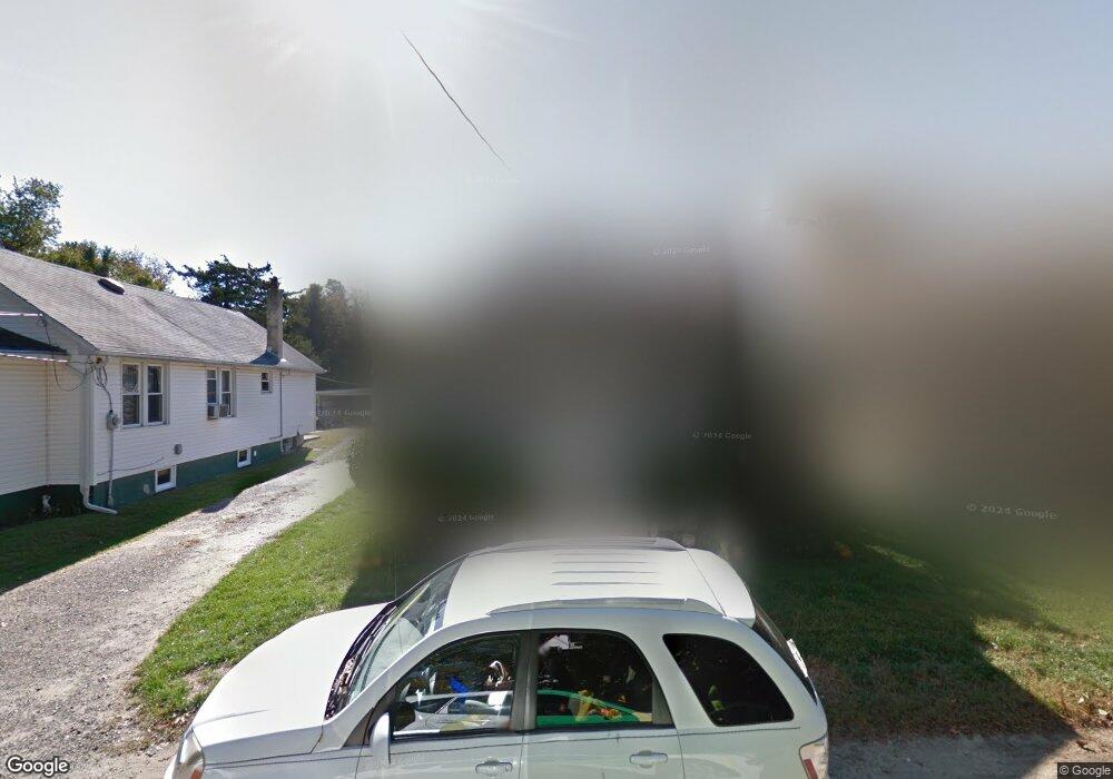
622 Urian Ave Wenonah, NJ 08090
Deptford Township NeighborhoodEstimated Value: $157,000 - $228,000
--
Bed
--
Bath
1,020
Sq Ft
$196/Sq Ft
Est. Value
About This Home
This home is located at 622 Urian Ave, Wenonah, NJ 08090 and is currently estimated at $200,164, approximately $196 per square foot. 622 Urian Ave is a home located in Gloucester County with nearby schools including Deptford Township High School and St Margaret Regional School.
Ownership History
Date
Name
Owned For
Owner Type
Purchase Details
Closed on
Feb 17, 1999
Sold by
Fisher Barry K and Shoff Lynn A
Bought by
Fisher Barry K and Fisher Lynne A
Current Estimated Value
Home Financials for this Owner
Home Financials are based on the most recent Mortgage that was taken out on this home.
Original Mortgage
$53,500
Interest Rate
6.75%
Create a Home Valuation Report for This Property
The Home Valuation Report is an in-depth analysis detailing your home's value as well as a comparison with similar homes in the area
Home Values in the Area
Average Home Value in this Area
Purchase History
| Date | Buyer | Sale Price | Title Company |
|---|---|---|---|
| Fisher Barry K | -- | Lawyers Title Insurance Corp |
Source: Public Records
Mortgage History
| Date | Status | Borrower | Loan Amount |
|---|---|---|---|
| Closed | Fisher Barry K | $53,500 |
Source: Public Records
Tax History Compared to Growth
Tax History
| Year | Tax Paid | Tax Assessment Tax Assessment Total Assessment is a certain percentage of the fair market value that is determined by local assessors to be the total taxable value of land and additions on the property. | Land | Improvement |
|---|---|---|---|---|
| 2025 | $3,979 | $111,000 | $27,000 | $84,000 |
| 2024 | $3,852 | $111,000 | $27,000 | $84,000 |
| 2023 | $3,852 | $111,000 | $27,000 | $84,000 |
| 2022 | $3,824 | $111,000 | $27,000 | $84,000 |
| 2021 | $3,769 | $111,000 | $27,000 | $84,000 |
| 2020 | $3,726 | $111,000 | $27,000 | $84,000 |
| 2019 | $3,655 | $111,000 | $27,000 | $84,000 |
| 2018 | $3,573 | $111,000 | $27,000 | $84,000 |
| 2017 | $3,478 | $111,000 | $27,000 | $84,000 |
| 2016 | $3,407 | $111,000 | $27,000 | $84,000 |
| 2015 | $3,301 | $111,000 | $27,000 | $84,000 |
| 2014 | $3,216 | $111,000 | $27,000 | $84,000 |
Source: Public Records
Map
Nearby Homes
- 0 Glassboro Rd
- 100 Fairmount St
- 100 Fernshire Ct
- 221 Woodcreek Rd
- 3 E Mantua Ave
- 118 Bock Ave
- 1 W Buttonwood St
- 8 W Buttonwood St
- 134 Carver Dr
- 513 N East Ave
- 183 Lincoln Rd
- 108 S Clinton Ave
- 261 Wenonah Way
- 1008 Jericho Ln
- 975 Lindsey Dr
- 760 Woodland Ave
- 41 Fleming Ave
- 707 Howard Ave
- 242 Tall Pines Dr
- 315 Ogden Station Rd
- 626 Urian Ave
- 618 Urian Ave
- 619 Larkins St
- 615 Larkins St
- 634 Urian Ave
- 1506 Glassboro Rd
- 623 Larkins St
- 1190 Cattell Rd
- 1510 Glassboro Rd
- 631 Larkins St
- 1500 Glassboro Rd
- 631 Urian Ave
- 1512 Glassboro Rd
- 1492 Glassboro Rd
- 1180 Cattell Rd
- 616 Larkins St
- 1518 Glassboro Rd
- 639 Larkins St
- 635 Urian Ave
- 509 E Elm St
