6220 State St Saginaw, MI 48603
Estimated Value: $685,146
--
Bed
--
Bath
33,076
Sq Ft
$21/Sq Ft
Est. Value
About This Home
This home is located at 6220 State St, Saginaw, MI 48603 and is currently estimated at $685,146, approximately $20 per square foot. 6220 State St is a home located in Saginaw County with nearby schools including Arrowwood Elementary School, Westdale Elementary School, and White Pine Middle School.
Ownership History
Date
Name
Owned For
Owner Type
Purchase Details
Closed on
Dec 27, 2021
Sold by
Lefevre Geraldine A and Lefevre Leonard H
Bought by
Pbd Development Llc
Current Estimated Value
Purchase Details
Closed on
Jul 1, 2011
Sold by
Lefevre Geraldine A and Lefevre Leonard H
Bought by
Lefevre Geraldine A and Geraldine A Lefevre Revocable Living Tru
Purchase Details
Closed on
Feb 27, 2007
Sold by
Lefevre Leonard H and Lefevre Geraldine A
Bought by
Lefevre, L H & G A Trust
Create a Home Valuation Report for This Property
The Home Valuation Report is an in-depth analysis detailing your home's value as well as a comparison with similar homes in the area
Home Values in the Area
Average Home Value in this Area
Purchase History
| Date | Buyer | Sale Price | Title Company |
|---|---|---|---|
| Pbd Development Llc | -- | None Available | |
| Lefevre Geraldine A | -- | -- | |
| Lefevre Leonard H | -- | -- | |
| Lefevre, L H & G A Trust | -- | -- |
Source: Public Records
Tax History Compared to Growth
Tax History
| Year | Tax Paid | Tax Assessment Tax Assessment Total Assessment is a certain percentage of the fair market value that is determined by local assessors to be the total taxable value of land and additions on the property. | Land | Improvement |
|---|---|---|---|---|
| 2025 | $17,982 | $434,200 | $0 | $0 |
| 2024 | $12,268 | $404,100 | $0 | $0 |
| 2023 | $8,005 | $480,900 | $0 | $0 |
| 2022 | $25,523 | $463,600 | $0 | $0 |
| 2021 | $24,587 | $458,500 | $0 | $0 |
| 2020 | $24,743 | $463,000 | $0 | $0 |
| 2019 | $30,093 | $656,700 | $362,100 | $294,600 |
| 2018 | $20,523 | $595,300 | $0 | $0 |
| 2017 | $27,391 | $579,900 | $0 | $0 |
| 2016 | $27,040 | $550,600 | $0 | $0 |
| 2014 | $26,674 | $554,500 | $0 | $192,400 |
| 2013 | -- | $566,300 | $0 | $0 |
Source: Public Records
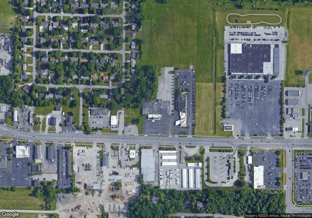
Map
Nearby Homes
- 63 Bunny Trail
- 62 Bunny Trail
- 72 Bunny Trail
- 71 Bunny Trail
- 69 Bunny Trail
- 68 Bunny Trail
- 67 Bunny Trail
- 70 Bunny Trail
- 6419 Cranston Place
- 1900 Bunny Trail
- 79 Deer Trail
- 80 Deer Trail
- 58 Deer Trail
- 75 Foxwood Dr
- 73 Foxwood Dr
- 76 Foxwood Dr
- 74 Foxwood Dr
- 6291 Stansbury Ln
- 1839 Kingston Dr
- 5568 Mary Ct
- 2120 N Kearney Dr
- 6275 E Kearney Dr
- 2136 N Kearney Dr
- 2152 N Kearney Dr
- 6299 E Kearney Dr
- 6300 E Kearney Dr
- 6095 State Unit (M-58)
- 6315 E Kearney Dr
- 2170 N Kearney Dr
- 6316 E Kearney Dr
- 6299 Cranston Place
- 2186 N Kearney Dr
- 6330 E Kearney Dr
- 2090 Twin Oaks Blvd
- 6315 Cranston Place
- 2200 N Kearney Dr
- 6300 Cranston Place
- 6331 Cranston Place
- 6350 E Kearney Dr
- 2214 N Kearney Dr