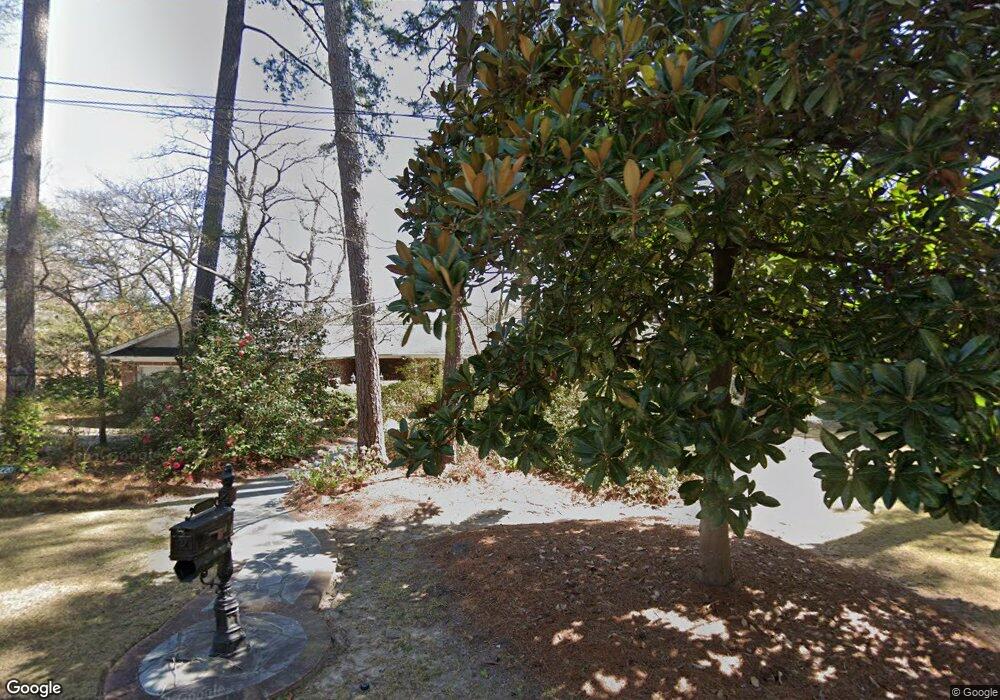
6220 Westshore Rd Columbia, SC 29206
Estimated Value: $707,739 - $881,000
4
Beds
3
Baths
3,002
Sq Ft
$253/Sq Ft
Est. Value
About This Home
This home is located at 6220 Westshore Rd, Columbia, SC 29206 and is currently estimated at $759,435, approximately $252 per square foot. 6220 Westshore Rd is a home located in Richland County with nearby schools including Forest Lake Elementary School, Dent Middle School, and Richland Northeast High School.
Ownership History
Date
Name
Owned For
Owner Type
Purchase Details
Closed on
Apr 29, 2008
Sold by
Rentz Laura R
Bought by
Lott Barbara M
Current Estimated Value
Home Financials for this Owner
Home Financials are based on the most recent Mortgage that was taken out on this home.
Original Mortgage
$417,000
Outstanding Balance
$266,834
Interest Rate
6.08%
Mortgage Type
Purchase Money Mortgage
Estimated Equity
$492,601
Purchase Details
Closed on
Jul 16, 1999
Sold by
Daniel Sanford H
Bought by
Rentz Laura R
Home Financials for this Owner
Home Financials are based on the most recent Mortgage that was taken out on this home.
Original Mortgage
$240,000
Interest Rate
7.43%
Create a Home Valuation Report for This Property
The Home Valuation Report is an in-depth analysis detailing your home's value as well as a comparison with similar homes in the area
Home Values in the Area
Average Home Value in this Area
Purchase History
| Date | Buyer | Sale Price | Title Company |
|---|---|---|---|
| Lott Barbara M | $530,000 | -- | |
| Rentz Laura R | $322,000 | -- |
Source: Public Records
Mortgage History
| Date | Status | Borrower | Loan Amount |
|---|---|---|---|
| Open | Lott Barbara M | $417,000 | |
| Previous Owner | Rentz Laura R | $240,000 |
Source: Public Records
Tax History Compared to Growth
Tax History
| Year | Tax Paid | Tax Assessment Tax Assessment Total Assessment is a certain percentage of the fair market value that is determined by local assessors to be the total taxable value of land and additions on the property. | Land | Improvement |
|---|---|---|---|---|
| 2024 | $3,780 | $417,200 | $0 | $0 |
| 2023 | $3,780 | $14,512 | $0 | $0 |
| 2022 | $3,375 | $362,800 | $203,300 | $159,500 |
| 2021 | $3,419 | $14,510 | $0 | $0 |
| 2020 | $3,474 | $14,510 | $0 | $0 |
| 2019 | $3,471 | $14,510 | $0 | $0 |
| 2018 | $3,427 | $13,950 | $0 | $0 |
| 2017 | $2,958 | $12,160 | $0 | $0 |
| 2016 | $3,339 | $13,930 | $0 | $0 |
| 2015 | $3,325 | $13,930 | $0 | $0 |
| 2014 | $3,319 | $348,300 | $0 | $0 |
| 2013 | -- | $13,930 | $0 | $0 |
Source: Public Records
Map
Nearby Homes
- 6342 Westshore Rd
- 6315 Goldbranch Rd
- 6346 Goldbranch Rd
- 6409 N Trenholm Rd
- 6329 Pinefield Rd
- 0 Mayhaw Dr
- 6515 Whiteoak Rd
- 116 Mayhaw Dr
- 4512 Mosshill Rd
- 124 Mayhaw Dr
- 129 Mayhaw Dr
- 330 Arcadia Lakes Dr E
- 6009 Lakeshore Dr
- 555 N Trenholm Rd
- 6319 Briarwood Rd
- Nx Northshore Rd
- 4709 Briarfield Rd
- 3611 Boundbrook Ln
- 5918 Woodvine Rd
- 3910 Glenfield Rd
- 6222 Westshore Rd
- 6210 Westshore Rd
- 6217 Westshore Rd
- 6223 Westshore Rd
- 6230 Westshore Rd
- 6200 Westshore Rd
- 6229 Westshore Rd
- 4219 Shorebrook Dr
- 4229 Shorebrook Dr
- 6235 Westshore Rd
- 6236 Westshore Rd
- 4237 Shorebrook Dr
- 4133 Shorebrook Dr
- 6301 Westshore Rd
- 4245 Shorebrook Dr
- 4125 Shorebrook Dr
- 6446 Bridgewood Rd
- 4220 Shorebrook Dr
- 4240 Shorebrook Dr
- 6311 Westshore Rd