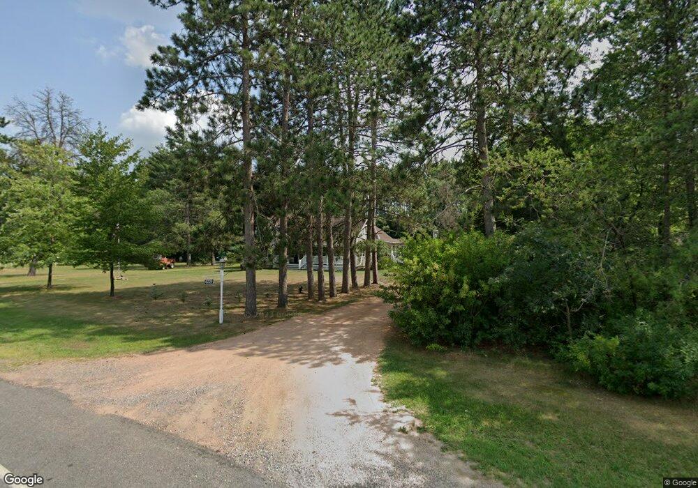
6220 Whitrock Ave Wisconsin Rapids, WI 54494
Estimated Value: $314,782 - $379,000
--
Bed
--
Bath
--
Sq Ft
4.48
Acres
About This Home
This home is located at 6220 Whitrock Ave, Wisconsin Rapids, WI 54494 and is currently estimated at $349,196. 6220 Whitrock Ave is a home located in Wood County with nearby schools including Washington Elementary School, East Junior High School, and Wisconsin Rapids Area Middle School.
Ownership History
Date
Name
Owned For
Owner Type
Purchase Details
Closed on
Oct 12, 2007
Sold by
Craig James G
Bought by
Jungwirth Gary W
Current Estimated Value
Purchase Details
Closed on
Apr 25, 2005
Sold by
Marks Dana K and Marks Terry A
Bought by
Craig James G and Craig Casandra L
Home Financials for this Owner
Home Financials are based on the most recent Mortgage that was taken out on this home.
Original Mortgage
$137,012
Interest Rate
6.05%
Mortgage Type
New Conventional
Create a Home Valuation Report for This Property
The Home Valuation Report is an in-depth analysis detailing your home's value as well as a comparison with similar homes in the area
Home Values in the Area
Average Home Value in this Area
Purchase History
| Date | Buyer | Sale Price | Title Company |
|---|---|---|---|
| Jungwirth Gary W | $181,000 | -- | |
| Craig James G | $141,300 | Gowey Abstract & Title Co | |
| Craig James G | $141,300 | -- |
Source: Public Records
Mortgage History
| Date | Status | Borrower | Loan Amount |
|---|---|---|---|
| Previous Owner | Craig James G | $137,012 |
Source: Public Records
Tax History Compared to Growth
Tax History
| Year | Tax Paid | Tax Assessment Tax Assessment Total Assessment is a certain percentage of the fair market value that is determined by local assessors to be the total taxable value of land and additions on the property. | Land | Improvement |
|---|---|---|---|---|
| 2024 | $2,698 | $152,200 | $29,000 | $123,200 |
| 2023 | $2,689 | $152,200 | $29,000 | $123,200 |
| 2022 | $2,644 | $152,200 | $29,000 | $123,200 |
| 2021 | $2,688 | $152,200 | $29,000 | $123,200 |
| 2020 | $2,647 | $152,200 | $29,000 | $123,200 |
| 2019 | $2,942 | $144,500 | $31,500 | $113,000 |
| 2018 | $2,726 | $144,500 | $31,500 | $113,000 |
| 2017 | $2,657 | $144,500 | $31,500 | $113,000 |
| 2016 | $2,602 | $144,500 | $31,500 | $113,000 |
| 2015 | $2,523 | $144,500 | $31,500 | $113,000 |
Source: Public Records
Map
Nearby Homes
- 6111 Magnolia Dr
- 5741 Siesta Cir
- 5930 Wazeecha Ave
- 5640 Helke Rd
- 6711 Kellner Rd
- 6410 Lenox Ave
- 7320 Deer Rd
- 4910 Pine Needle Way
- 3610 43rd St S
- Parcel #0703692 Dewberry Ln
- 8210 Grove Ave
- 1510 52nd St S
- 4411 Kellner Rd
- 8540 Lake Rd
- 1911 45th St S
- 3820 36th St S
- 1930 42nd St S
- 8041 White Pine Dr
- 000 64th St S Unit 11840 64th Street So
- 2920 27th St S
- 6211 Whitrock Ave
- 6311 Whitrock Ave
- 4110 64th St S
- 3930 63rd St S
- 3921 63rd St S
- 3940 64th St S
- 3920 63rd St S
- 3910 62nd St S
- Lot 10 62nd St S
- 3930 64th St S
- 3830 62nd St S
- 6310 Burns Dr
- 6410 Whitrock Ave
- 3821 62nd St S
- 3821 62nd St S
- 6230 Point Haven Dr
- 6230 Pointe Haven Dr
- 3910 64th St S
- 6111 Point Haven Dr
- 3910 63rd St S