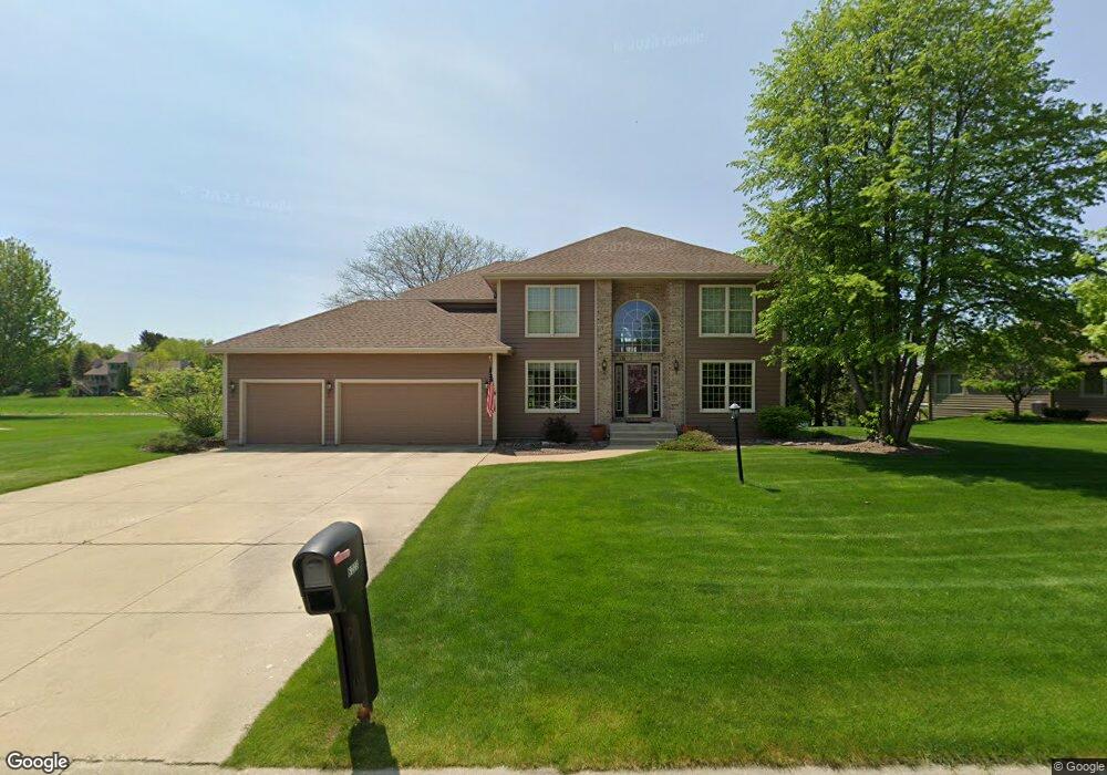
6223 Pheasant Creek Trail Mount Pleasant, WI 53406
Estimated Value: $552,000 - $585,000
4
Beds
5
Baths
2,626
Sq Ft
$215/Sq Ft
Est. Value
About This Home
This home is located at 6223 Pheasant Creek Trail, Mount Pleasant, WI 53406 and is currently estimated at $565,055, approximately $215 per square foot. 6223 Pheasant Creek Trail is a home located in Racine County with nearby schools including West Ridge Elementary School, Mitchell Middle School, and Case High School.
Ownership History
Date
Name
Owned For
Owner Type
Purchase Details
Closed on
Mar 24, 2022
Sold by
Owens John M and Owens Jan P
Bought by
John M And Jan P Owens Revocable Trust
Current Estimated Value
Create a Home Valuation Report for This Property
The Home Valuation Report is an in-depth analysis detailing your home's value as well as a comparison with similar homes in the area
Home Values in the Area
Average Home Value in this Area
Purchase History
| Date | Buyer | Sale Price | Title Company |
|---|---|---|---|
| John M And Jan P Owens Revocable Trust | -- | None Listed On Document |
Source: Public Records
Tax History Compared to Growth
Tax History
| Year | Tax Paid | Tax Assessment Tax Assessment Total Assessment is a certain percentage of the fair market value that is determined by local assessors to be the total taxable value of land and additions on the property. | Land | Improvement |
|---|---|---|---|---|
| 2024 | $8,587 | $545,200 | $82,500 | $462,700 |
| 2023 | $7,970 | $491,600 | $77,100 | $414,500 |
| 2022 | $6,942 | $425,400 | $77,100 | $348,300 |
| 2021 | $6,969 | $380,700 | $70,100 | $310,600 |
| 2020 | $6,476 | $343,000 | $53,900 | $289,100 |
| 2019 | $6,186 | $343,000 | $53,900 | $289,100 |
| 2018 | $6,101 | $314,000 | $47,500 | $266,500 |
| 2017 | $5,675 | $287,700 | $47,500 | $240,200 |
| 2016 | $5,516 | $263,900 | $38,000 | $225,900 |
| 2015 | $5,476 | $263,900 | $38,000 | $225,900 |
| 2014 | $5,171 | $263,900 | $38,000 | $225,900 |
| 2013 | $5,466 | $263,900 | $38,000 | $225,900 |
Source: Public Records
Map
Nearby Homes
- 353 Quail Point Dr
- 6236 Bald Eagle Rd
- 6343 Ptarmigan Rd
- 38 S Emmertsen Rd
- 6300 Bald Eagle Rd
- 6352 Kelsey Ct
- 6355 Kingsview Dr
- Cedar Point Plan at Christina Estates
- 1117 N Sunnyslope Dr Unit 204
- 5740 Woodland Hills Dr
- 6532 Kingsview Dr
- 215 Emerald Dr
- 586 Calvin Ln
- 5700 Woodland Hills Dr
- 1231 N Sunnyslope Dr Unit 205
- 6121 Spring St
- 1315 N Sunnyslope Dr Unit 202
- 1208 N Sunnyslope Dr Unit 202
- 6342 Kinzie Ave
- 6510 Spring St Unit 17
- 6229 Pheasant Creek Trail
- 6217 Pheasant Creek Trail
- 230 Blue Heron Cir
- 6235 Pheasant Creek Trail
- 231 Mourning Dove Ln
- 6211 Pheasant Creek Trail
- 6210 Pheasant Creek Trail
- 221 Mourning Dove Ln
- 6236 Pheasant Creek Trail
- 220 Blue Heron Cir
- 6241 Pheasant Creek Trail
- 6204 Pheasant Creek Trail
- 6205 Pheasant Creek Trail
- 6232 Partridge Hills Dr
- 6234 Partridge Hills Dr
- 221 Blue Heron Cir
- 6224 Partridge Hills Dr
- 6226 Partridge Hills Dr
- 222 Mourning Dove Ln
- 211 Mourning Dove Ln