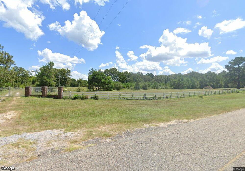
6227 Highway 393 Crestview, FL 32539
Estimated Value: $300,000
3
Beds
2
Baths
6,309
Sq Ft
$48/Sq Ft
Est. Value
About This Home
This home is located at 6227 Highway 393, Crestview, FL 32539 and is currently estimated at $300,000, approximately $47 per square foot. 6227 Highway 393 is a home located in Okaloosa County with nearby schools including Walker Elementary School, Davidson Middle School, and Crestview High School.
Ownership History
Date
Name
Owned For
Owner Type
Purchase Details
Closed on
May 26, 2004
Sold by
Wesley Woodburn S and Wesley Sharon L
Bought by
Batson Charles T and Batson Wanda C
Current Estimated Value
Home Financials for this Owner
Home Financials are based on the most recent Mortgage that was taken out on this home.
Original Mortgage
$150,000
Interest Rate
6.25%
Mortgage Type
Seller Take Back
Purchase Details
Closed on
Jan 7, 2002
Sold by
First National Bank Of Florida
Bought by
Wesley Woodburn S and Wesley Sharon L
Purchase Details
Closed on
Oct 2, 2001
Sold by
Sandy Creek Corp and Lerner Leslie
Bought by
First National Bank Of Florida
Create a Home Valuation Report for This Property
The Home Valuation Report is an in-depth analysis detailing your home's value as well as a comparison with similar homes in the area
Home Values in the Area
Average Home Value in this Area
Purchase History
| Date | Buyer | Sale Price | Title Company |
|---|---|---|---|
| Batson Charles T | $150,000 | Moulton Dowd Title Inc | |
| Wesley Woodburn S | $135,000 | Lawyers Title Agency Of The | |
| First National Bank Of Florida | -- | -- |
Source: Public Records
Mortgage History
| Date | Status | Borrower | Loan Amount |
|---|---|---|---|
| Previous Owner | Batson Charles T | $150,000 |
Source: Public Records
Tax History
| Year | Tax Paid | Tax Assessment Tax Assessment Total Assessment is a certain percentage of the fair market value that is determined by local assessors to be the total taxable value of land and additions on the property. | Land | Improvement |
|---|---|---|---|---|
| 2025 | $2,132 | $222,513 | -- | -- |
| 2024 | $1,744 | $182,511 | -- | -- |
| 2023 | $1,744 | $169,943 | $0 | $0 |
| 2022 | $1,670 | $160,423 | $0 | $0 |
| 2021 | $1,578 | $145,802 | $80,858 | $64,944 |
| 2020 | $1,583 | $145,278 | $81,158 | $64,120 |
| 2019 | $1,604 | $145,340 | $83,554 | $61,786 |
| 2018 | $2,043 | $143,469 | $0 | $0 |
| 2017 | $2,129 | $161,524 | $0 | $0 |
| 2016 | $2,069 | $159,887 | $0 | $0 |
| 2015 | $1,671 | $102,178 | $25,791 | $76,387 |
| 2014 | $1,671 | $102,101 | $26,523 | $75,578 |
Source: Public Records
Map
Nearby Homes
- 4584 Rainbird Rise Rd
- 4507 Rainbird Rise Rd
- Parcel A&B Sunburst Dr
- Parcel A Sunburst Dr
- 0 Highway 393 Unit 807381
- 4482 Rainbird Rise Rd
- 5.31 ac xx John Nix Rd
- 4351 Poverty Creek Rd
- 4290 Batten Rd
- 4297 Edge Perry Rd
- 4510 Dorcas Rd
- 150 Janice Ln
- Lots 1 & 2 Dorcas Rd
- TBD Painter Branch Rd
- 0.56 Christopher Ln
- 0 Christopher Ln
- 108 A N Rayburn St
- TBD Clear Creek Rd
- 3992 Indian Mound Rd
- 4.77 Acres Waldo Rd
- 6227 Highway 393
- 5561 Highway 393
- 6232 Highway 393
- 6244 Highway 393
- 6200 Highway 393
- 6263 Highway 393
- 6205 Sunburst Dr S
- 4555 Rainbird Rise Rd
- 6181 Sunburst Dr S
- 0 Sunburst Dr S Unit 587304
- 0 Sunburst Dr S
- 4568 Yellow Bluff Rd
- 6151 Highway 393
- 6138 Highway 393
- 5366 Highway 393
- 6291 Highway 393
- 4581 Yellow Bluff Rd
- 4.75 acres Yellow Bluff Rd
- 4539 Rainbird Rise Rd
- 4556 Yellow Bluff Rd