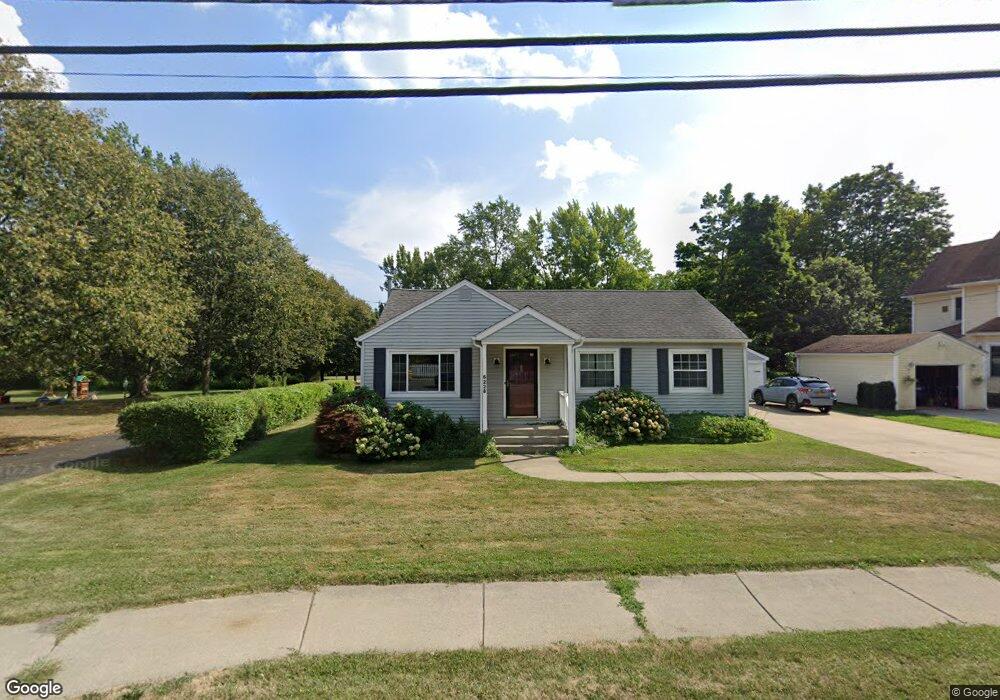
6228 Boston State Rd Hamburg, NY 14075
Estimated Value: $284,000 - $328,000
4
Beds
1
Bath
1,530
Sq Ft
$201/Sq Ft
Est. Value
About This Home
This home is located at 6228 Boston State Rd, Hamburg, NY 14075 and is currently estimated at $306,999, approximately $200 per square foot. 6228 Boston State Rd is a home located in Erie County with nearby schools including Hamburg Middle School, Sts. Peter & Paul Elementary School, and Hamburg Christian Academy.
Ownership History
Date
Name
Owned For
Owner Type
Purchase Details
Closed on
Sep 30, 2009
Sold by
Wright Michael Jon Shannon and Wright John Norwin
Bought by
Falter Timothy
Current Estimated Value
Home Financials for this Owner
Home Financials are based on the most recent Mortgage that was taken out on this home.
Original Mortgage
$7,500
Interest Rate
5.12%
Mortgage Type
Stand Alone Second
Create a Home Valuation Report for This Property
The Home Valuation Report is an in-depth analysis detailing your home's value as well as a comparison with similar homes in the area
Home Values in the Area
Average Home Value in this Area
Purchase History
| Date | Buyer | Sale Price | Title Company |
|---|---|---|---|
| Falter Timothy | $110,000 | None Available |
Source: Public Records
Mortgage History
| Date | Status | Borrower | Loan Amount |
|---|---|---|---|
| Closed | Falter Timothy | $7,500 | |
| Open | Falter Timothy | $108,007 |
Source: Public Records
Tax History Compared to Growth
Tax History
| Year | Tax Paid | Tax Assessment Tax Assessment Total Assessment is a certain percentage of the fair market value that is determined by local assessors to be the total taxable value of land and additions on the property. | Land | Improvement |
|---|---|---|---|---|
| 2024 | $5,852 | $78,700 | $7,000 | $71,700 |
| 2023 | $5,763 | $78,700 | $7,000 | $71,700 |
| 2022 | $5,536 | $78,700 | $7,000 | $71,700 |
| 2021 | $5,483 | $78,700 | $7,000 | $71,700 |
| 2020 | $4,805 | $78,700 | $7,000 | $71,700 |
| 2019 | $4,376 | $78,700 | $7,000 | $71,700 |
| 2018 | $4,544 | $78,700 | $7,000 | $71,700 |
| 2017 | $2,111 | $78,700 | $7,000 | $71,700 |
| 2016 | $4,438 | $78,700 | $7,000 | $71,700 |
| 2015 | -- | $78,700 | $7,000 | $71,700 |
| 2014 | -- | $78,700 | $7,000 | $71,700 |
Source: Public Records
Map
Nearby Homes
- 6309 Boston State Rd
- 27 Huntington Ct
- 11 Hunt Ave
- 88 Raymond St
- 82 Raymond St
- 25 Brendel Ave
- 187 Hunt Ave
- 6145 Mckinley Pkwy Unit 31
- 6145 Mckinley Pkwy Unit 5
- 42 Sandra Place
- 4700 Newton Rd
- 21 Dudley Ave
- 5985 Mckinley Pkwy
- 87 Maple Ave
- 38 Oliver Place
- 24 Viber Unit 275
- 5962 Rosewood W
- 9 Viber Unit 263
- VL Greenfield Pkwy S
- 43 Oliver Place
- 305 E Main St
- 6244 Boston State Rd
- 303 E Main St
- 291 E Main St
- 6254 Boston State Rd
- 302 E Main St
- 6245 Boston State Rd
- 6234 Boston State Rd
- 6264 Boston State Rd
- 6253 Boston State Rd
- 300 E Main St
- 292 E Main St
- 279 E Main St
- 296 E Main St
- 6300 Sunnyside Dr
- 288 E Main St
- 6301 Sunnyside Dr
- 6274 Boston State Rd
- 6269 Boston State Rd
- 4417 Grandview Ave