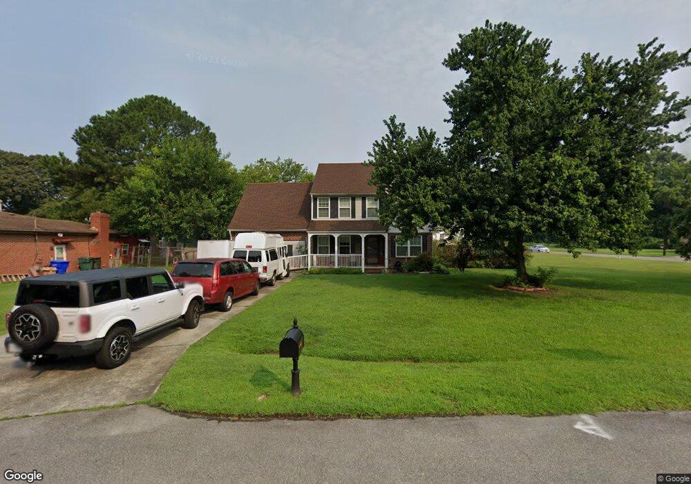
6229 Apple St Suffolk, VA 23435
Nansemond NeighborhoodEstimated Value: $445,000 - $657,000
4
Beds
3
Baths
3,227
Sq Ft
$163/Sq Ft
Est. Value
About This Home
This home is located at 6229 Apple St, Suffolk, VA 23435 and is currently estimated at $526,368, approximately $163 per square foot. 6229 Apple St is a home located in Suffolk City with nearby schools including Northern Shores Elementary School, John Yeates Middle School, and Nansemond River High School.
Ownership History
Date
Name
Owned For
Owner Type
Purchase Details
Closed on
Jul 31, 2015
Sold by
Logan Aaron A and Logan Betty M
Bought by
Logan Betty M
Current Estimated Value
Home Financials for this Owner
Home Financials are based on the most recent Mortgage that was taken out on this home.
Original Mortgage
$248,400
Outstanding Balance
$194,095
Interest Rate
4.08%
Mortgage Type
New Conventional
Estimated Equity
$332,273
Create a Home Valuation Report for This Property
The Home Valuation Report is an in-depth analysis detailing your home's value as well as a comparison with similar homes in the area
Home Values in the Area
Average Home Value in this Area
Purchase History
| Date | Buyer | Sale Price | Title Company |
|---|---|---|---|
| Logan Betty M | -- | -- |
Source: Public Records
Mortgage History
| Date | Status | Borrower | Loan Amount |
|---|---|---|---|
| Open | Logan Betty M | $248,400 |
Source: Public Records
Tax History
| Year | Tax Paid | Tax Assessment Tax Assessment Total Assessment is a certain percentage of the fair market value that is determined by local assessors to be the total taxable value of land and additions on the property. | Land | Improvement |
|---|---|---|---|---|
| 2025 | $4,938 | $419,400 | $73,000 | $346,400 |
| 2024 | $4,938 | $383,300 | $74,300 | $309,000 |
| 2023 | $4,494 | $369,000 | $74,300 | $294,700 |
| 2022 | $3,539 | $324,700 | $74,300 | $250,400 |
| 2021 | $3,474 | $313,000 | $67,600 | $245,400 |
| 2020 | $3,533 | $318,300 | $67,600 | $250,700 |
| 2019 | $2,690 | $242,300 | $67,600 | $174,700 |
| 2018 | $2,948 | $256,400 | $67,600 | $188,800 |
| 2017 | $2,743 | $256,400 | $67,600 | $188,800 |
| 2016 | $2,743 | $256,400 | $67,600 | $188,800 |
| 2015 | $1,397 | $259,900 | $71,100 | $188,800 |
| 2014 | $1,397 | $259,900 | $71,100 | $188,800 |
Source: Public Records
Map
Nearby Homes
- 3705 Bamboo Rd
- 6705 Hampton Roads Pkwy
- 5250 Moreland St
- 156 Stoney Ridge Ave
- 164 Stoney Ridge Ave
- 5228 Moreland St
- 19 Old Church Cir
- 3809 Peachtree Ln W
- 119 Stoney Ridge Ave
- 3841 Old Farm Rd
- 6404 Pelican Crescent N
- 6322 Pelican Crescent S
- 6238 Heather Glen Dr
- 3726 Sugar Creek Cir
- 3866 Augustine Cir
- 3860 Sugar Creek Cir
- 6210 Glenrose Dr
- 6419 Olde Bullocks Cir
- 3857 Headwind Ln
- 2012 Ashworth Way
- 6301 Orchard Cove Ct
- 6225 Apple St
- 6305 Orchard Cove Ct
- 6221 Apple St
- 6300 Orchard Cove Ct
- 6302 Orchard Cove Ct
- 6228 Apple St
- 6228 Apple St Unit St
- 6307 Orchard Cove Ct
- 6224 Apple St
- 6208 White Ash Ct
- 6230 Apple St
- 6220 Apple St
- 6212 White Ash Ct
- 6235 Apple St
- 6216 Apple St
- 6204 White Ash Ct
- 6308 Orchard Cove Ct
- 6232 Apple St
- 6234 Apple St
Your Personal Tour Guide
Ask me questions while you tour the home.