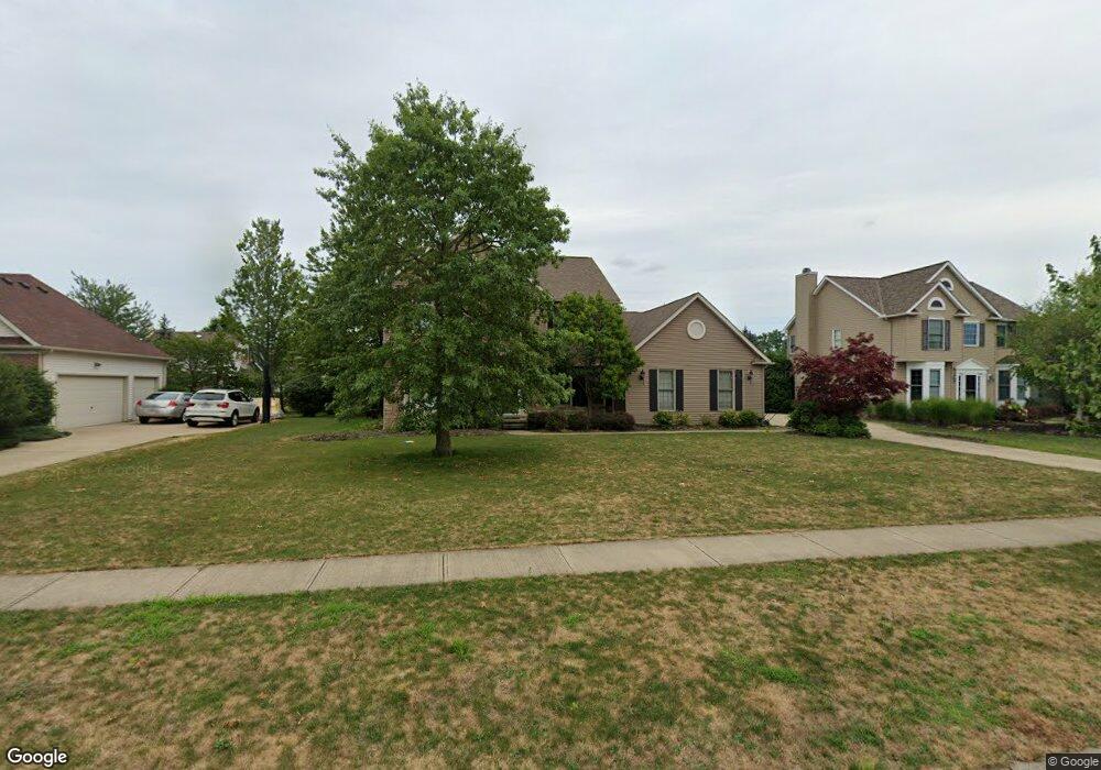
623 Arborside Ln Avon Lake, OH 44012
Estimated Value: $403,000 - $616,000
4
Beds
4
Baths
2,572
Sq Ft
$213/Sq Ft
Est. Value
About This Home
This home is located at 623 Arborside Ln, Avon Lake, OH 44012 and is currently estimated at $548,596, approximately $213 per square foot. 623 Arborside Ln is a home located in Lorain County with nearby schools including Eastview Elementary School, Troy Intermediate Elementary School, and Learwood Middle School.
Ownership History
Date
Name
Owned For
Owner Type
Purchase Details
Closed on
May 31, 2005
Sold by
Altstadt Mark J and Altstadt Jennifer L
Bought by
Sekerak Michael E and Sekerak Maryann
Current Estimated Value
Home Financials for this Owner
Home Financials are based on the most recent Mortgage that was taken out on this home.
Original Mortgage
$240,000
Outstanding Balance
$86,019
Interest Rate
1%
Mortgage Type
Fannie Mae Freddie Mac
Estimated Equity
$462,577
Purchase Details
Closed on
Jul 26, 2000
Sold by
Shore West Construction Company
Bought by
Altstadt Mark L and Altstadt Jennifer L
Home Financials for this Owner
Home Financials are based on the most recent Mortgage that was taken out on this home.
Original Mortgage
$231,000
Interest Rate
7.5%
Create a Home Valuation Report for This Property
The Home Valuation Report is an in-depth analysis detailing your home's value as well as a comparison with similar homes in the area
Home Values in the Area
Average Home Value in this Area
Purchase History
| Date | Buyer | Sale Price | Title Company |
|---|---|---|---|
| Sekerak Michael E | $335,000 | Real Living Title Agency Ltd | |
| Altstadt Mark L | $307,400 | Cleveland Title |
Source: Public Records
Mortgage History
| Date | Status | Borrower | Loan Amount |
|---|---|---|---|
| Open | Sekerak Michael E | $240,000 | |
| Closed | Altstadt Mark L | $231,000 |
Source: Public Records
Tax History
| Year | Tax Paid | Tax Assessment Tax Assessment Total Assessment is a certain percentage of the fair market value that is determined by local assessors to be the total taxable value of land and additions on the property. | Land | Improvement |
|---|---|---|---|---|
| 2024 | $7,508 | $154,497 | $44,888 | $109,610 |
| 2023 | $7,663 | $140,231 | $37,559 | $102,673 |
| 2022 | $7,381 | $140,231 | $37,559 | $102,673 |
| 2021 | $7,365 | $140,231 | $37,559 | $102,673 |
| 2020 | $6,967 | $122,910 | $32,920 | $89,990 |
| 2019 | $6,930 | $122,910 | $32,920 | $89,990 |
Source: Public Records
Map
Nearby Homes
- 611 Arborside Ln
- 588 S Port Dr
- 643 Brownstone Cir
- 31772 Gardenside Dr
- 765 Rock Harbor
- 761 Rock Harbor
- 522 S Port Dr
- 32041 Kossuth Dr
- 561 Monticello Dr
- 510 Port Side Dr
- 502 Port Side Dr
- 604 Bar Harbor
- 531 Port Side Dr
- 560 Lear Rd
- 550 Lear Rd
- 406 the Inlet
- 548 E Bank
- 401 Bounty Way Unit 238
- 401 Bounty Way Unit 232
- 401 Bounty Way Unit 213
- 629 Arborside Ln
- 617 Arborside Ln
- 622 Bridgeside Dr
- 628 Bridgeside Dr
- 616 Bridgeside Dr
- 633 Arborside Ln
- 626 Arborside Ln
- 620 Arborside Ln
- 610 Bridgeside Dr
- 634 Bridgeside Dr
- 632 Arborside Ln
- 614 Arborside Ln
- 605 Arborside Ln
- 604 Bridgeside Dr
- 608 Arborside Ln
- 625 Treeside Ln
- 619 Treeside Ln
- 621 Bridgeside Dr
- 627 Bridgeside Dr
- 615 Bridgeside Dr