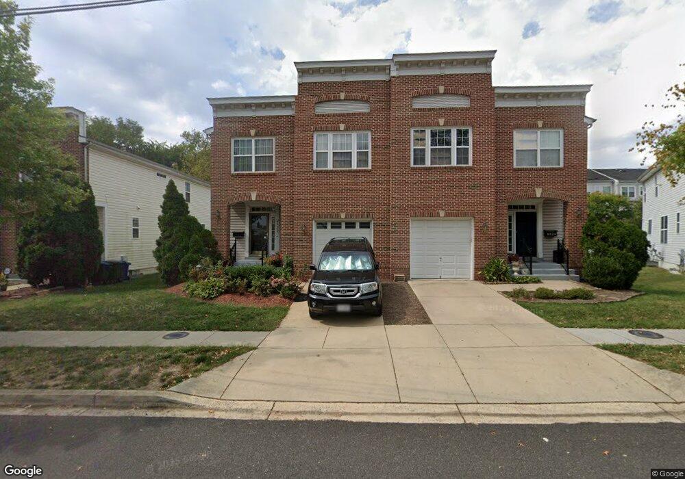
623 Ava Cir NE Washington, DC 20017
Michigan Park NeighborhoodEstimated Value: $526,000 - $621,000
3
Beds
3
Baths
1,314
Sq Ft
$439/Sq Ft
Est. Value
About This Home
This home is located at 623 Ava Cir NE, Washington, DC 20017 and is currently estimated at $577,025, approximately $439 per square foot. 623 Ava Cir NE is a home located in District of Columbia with nearby schools including Bunker Hill Elementary School, Brookland Middle School, and Dunbar High School.
Ownership History
Date
Name
Owned For
Owner Type
Purchase Details
Closed on
Sep 18, 2008
Sold by
K Hovnanian Homes Of Dc L
Bought by
Ward Kisha
Current Estimated Value
Home Financials for this Owner
Home Financials are based on the most recent Mortgage that was taken out on this home.
Original Mortgage
$331,700
Outstanding Balance
$220,253
Interest Rate
6.57%
Mortgage Type
New Conventional
Estimated Equity
$356,772
Create a Home Valuation Report for This Property
The Home Valuation Report is an in-depth analysis detailing your home's value as well as a comparison with similar homes in the area
Home Values in the Area
Average Home Value in this Area
Purchase History
| Date | Buyer | Sale Price | Title Company |
|---|---|---|---|
| Ward Kisha | $349,195 | -- |
Source: Public Records
Mortgage History
| Date | Status | Borrower | Loan Amount |
|---|---|---|---|
| Open | Ward Kisha | $331,700 |
Source: Public Records
Tax History Compared to Growth
Tax History
| Year | Tax Paid | Tax Assessment Tax Assessment Total Assessment is a certain percentage of the fair market value that is determined by local assessors to be the total taxable value of land and additions on the property. | Land | Improvement |
|---|---|---|---|---|
| 2025 | $4,230 | $587,500 | $281,840 | $305,660 |
| 2024 | $4,176 | $578,390 | $280,440 | $297,950 |
| 2023 | $3,991 | $553,560 | $272,780 | $280,780 |
| 2022 | $3,830 | $529,250 | $258,380 | $270,870 |
| 2021 | $3,629 | $503,320 | $251,960 | $251,360 |
| 2020 | $3,598 | $499,010 | $251,830 | $247,180 |
| 2019 | $3,369 | $471,220 | $229,080 | $242,140 |
| 2018 | $3,189 | $449,720 | $0 | $0 |
| 2017 | $2,906 | $422,950 | $0 | $0 |
| 2016 | $2,648 | $405,850 | $0 | $0 |
| 2015 | $2,410 | $362,630 | $0 | $0 |
| 2014 | $2,201 | $329,100 | $0 | $0 |
Source: Public Records
Map
Nearby Homes
- 720 Decatur St NE
- 723 Emerson St NE
- 642 Faraday Place NE
- 735 Emerson St NE
- 719 Farragut Place NE
- 4717 7th St NE
- 832 Delafield St NE
- 4710 8th St NE
- 5031 S Dakota Ave NE
- 314 Farragut St NW
- 5051 8th St NE
- 5008 10th St NE
- 838 Buchanan St NE
- 4803 10th St NE
- 5008 11th St NE
- 500 Hamilton St NE
- 4937 11th St NE
- 4822 S Dakota Ave NE
- 4956 Sargent Rd NE
- 5320 Chillum Place NE