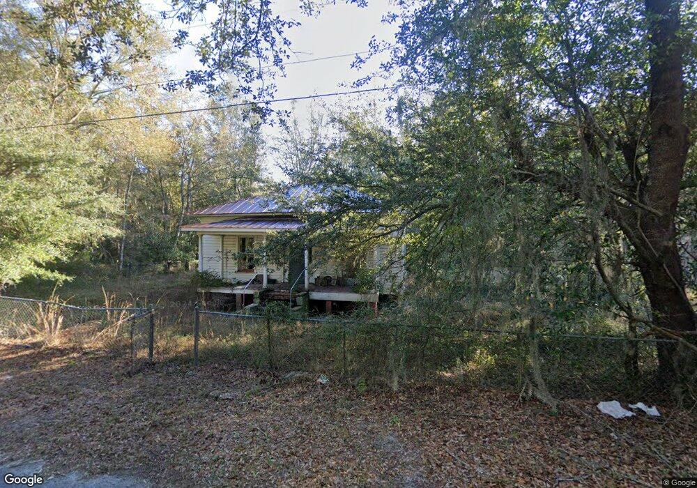
623 Carter Rd Allenhurst, GA 31301
Estimated Value: $214,000 - $293,000
3
Beds
1
Bath
1,224
Sq Ft
$197/Sq Ft
Est. Value
About This Home
This home is located at 623 Carter Rd, Allenhurst, GA 31301 and is currently estimated at $240,725, approximately $196 per square foot. 623 Carter Rd is a home with nearby schools including Frank Long Elementary School, Lewis Frasier Middle School, and Liberty County High School.
Ownership History
Date
Name
Owned For
Owner Type
Purchase Details
Closed on
Dec 14, 2020
Sold by
Fabian Mazie Estate
Bought by
Richardson Carl and Richardson Wilbert
Current Estimated Value
Purchase Details
Closed on
Jun 12, 2001
Sold by
Gaulden Terrell and Gaulden Darrell
Bought by
Fabain Mazie
Purchase Details
Closed on
Jun 1, 2001
Bought by
Fabain Mazie
Purchase Details
Closed on
Nov 8, 1996
Bought by
Gaulden Terrell and Gaulden Darrell
Purchase Details
Closed on
Aug 12, 1996
Bought by
Fabian Mazie
Purchase Details
Closed on
May 31, 1994
Bought by
Quarterman Mickey A
Purchase Details
Closed on
Apr 11, 1994
Bought by
Quarterman Mickey A
Create a Home Valuation Report for This Property
The Home Valuation Report is an in-depth analysis detailing your home's value as well as a comparison with similar homes in the area
Home Values in the Area
Average Home Value in this Area
Purchase History
| Date | Buyer | Sale Price | Title Company |
|---|---|---|---|
| Richardson Carl | -- | -- | |
| Fabain Mazie | -- | -- | |
| Fabain Mazie | -- | -- | |
| Gaulden Terrell | -- | -- | |
| Fabian Mazie | $55,000 | -- | |
| Quarterman Mickey A | -- | -- | |
| Quarterman Mickey A | -- | -- |
Source: Public Records
Tax History
| Year | Tax Paid | Tax Assessment Tax Assessment Total Assessment is a certain percentage of the fair market value that is determined by local assessors to be the total taxable value of land and additions on the property. | Land | Improvement |
|---|---|---|---|---|
| 2024 | $4,165 | $69,963 | $18,772 | $51,191 |
| 2023 | $2,929 | $64,478 | $18,772 | $45,706 |
| 2022 | $2,031 | $51,579 | $15,018 | $36,561 |
| 2021 | $1,867 | $47,520 | $15,018 | $32,502 |
| 2020 | $1,891 | $47,968 | $15,018 | $32,950 |
| 2019 | $1,859 | $48,416 | $15,018 | $33,398 |
| 2018 | $1,854 | $48,864 | $15,018 | $33,846 |
| 2017 | $2,092 | $49,312 | $15,018 | $34,294 |
| 2016 | $3,411 | $49,760 | $15,018 | $34,743 |
| 2015 | $1,926 | $51,339 | $16,596 | $34,743 |
| 2014 | $1,926 | $54,018 | $17,209 | $36,808 |
| 2013 | -- | $59,661 | $23,623 | $36,038 |
Source: Public Records
Map
Nearby Homes
- 205 Pamela Dr
- 127 Busbee Rd
- 27 Zoe Ln
- 129 Vandiver Rd
- 143 Morningside Dr
- 28 Beaumont Dr
- 34 Beaumont Dr
- 0 & 1 Denise Ln
- 1297 Talmadge Rd
- 353 Wilder Rd
- 169 Wellspring Terrace
- 1338 Talmadge Rd
- 1343 Talmadge Rd
- 619 Mccumber Dr
- 155 Jefferson Cir SE
- 304 Thompson Rd
- 95 Stephanie Dr
- 192 Boundary Hall Way
- 337 Boundary Hall Way
- 152 Boundary Hall Way
Your Personal Tour Guide
Ask me questions while you tour the home.