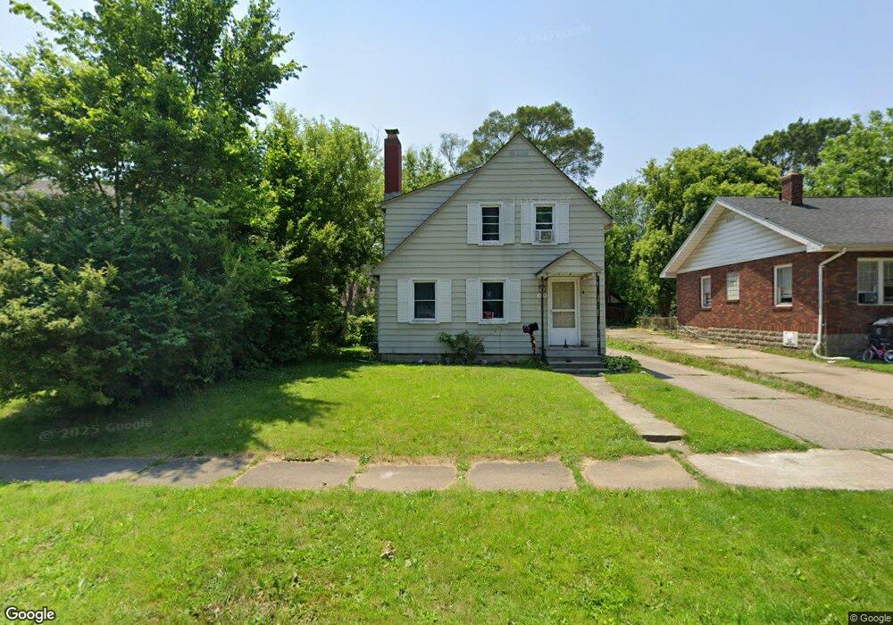
623 Frank St Flint, MI 48504
Mott Park NeighborhoodEstimated Value: $78,000 - $99,000
3
Beds
2
Baths
1,224
Sq Ft
$74/Sq Ft
Est. Value
About This Home
This home is located at 623 Frank St, Flint, MI 48504 and is currently estimated at $91,066, approximately $74 per square foot. 623 Frank St is a home located in Genesee County with nearby schools including Durant-Tuuri-Mott Elementary School, St John Vianney Catholic School, and St. Paul Lutheran School.
Ownership History
Date
Name
Owned For
Owner Type
Purchase Details
Closed on
Jan 31, 2019
Sold by
Elcoate Patrick W
Bought by
Wlcoate Patrick W and Elcoates Patrick W
Current Estimated Value
Purchase Details
Closed on
Dec 23, 2015
Sold by
Fannie Mae
Bought by
Elcoate Patrick W
Purchase Details
Closed on
Jul 22, 2015
Sold by
Durkee Sharon and Dixon Bryan
Bought by
Federal National Mortgage Association
Purchase Details
Closed on
Jun 11, 2002
Sold by
Dearing Marc A and Dearing Kathryn A
Bought by
Dixon Bryan and Durkee Sharon
Purchase Details
Closed on
Mar 9, 1999
Sold by
Tibbitts A Tibbitts K and Tibbitts Kathryn A
Bought by
Dearing Marc A and Dearing Kathryn A
Create a Home Valuation Report for This Property
The Home Valuation Report is an in-depth analysis detailing your home's value as well as a comparison with similar homes in the area
Home Values in the Area
Average Home Value in this Area
Purchase History
| Date | Buyer | Sale Price | Title Company |
|---|---|---|---|
| Wlcoate Patrick W | -- | None Available | |
| Elcoate Patrick W | $4,856 | Chicago Title Insurance Co | |
| Federal National Mortgage Association | $5,199 | Attorney | |
| Dixon Bryan | $79,900 | Metropolitan Title Company | |
| Dearing Marc A | -- | Cislo Title Company |
Source: Public Records
Tax History
| Year | Tax Paid | Tax Assessment Tax Assessment Total Assessment is a certain percentage of the fair market value that is determined by local assessors to be the total taxable value of land and additions on the property. | Land | Improvement |
|---|---|---|---|---|
| 2025 | $1,453 | $38,300 | $0 | $0 |
| 2024 | $1,339 | $40,100 | $0 | $0 |
| 2023 | $1,303 | $27,400 | $0 | $0 |
| 2022 | $0 | $21,900 | $0 | $0 |
| 2021 | $1,325 | $21,800 | $0 | $0 |
| 2020 | $1,211 | $21,400 | $0 | $0 |
| 2019 | $1,178 | $15,200 | $0 | $0 |
| 2018 | $1,185 | $13,800 | $0 | $0 |
| 2017 | $1,192 | $0 | $0 | $0 |
| 2016 | $1,192 | $0 | $0 | $0 |
| 2015 | -- | $0 | $0 | $0 |
| 2014 | -- | $0 | $0 | $0 |
| 2012 | -- | $19,200 | $0 | $0 |
Source: Public Records
Map
Nearby Homes
- 825 Frank St
- 2026 Monteith St
- 751 Dupont St
- 612 Bradley Ave
- 913 Perry St
- 2437 Zimmerman St
- 3320 Pencombe Place
- 2023 Cadillac St
- 2663 W Court St
- 2464 Gibson St
- 2310 Gibson St
- 1016 Dupont St
- 2410 Corunna Rd
- 932 Bradley Ave
- 3318 Norwood Dr
- 2124 Swayze St
- 3617 Sherwood Dr
- 2509 Corunna Rd
- 911 Hughes Ave
- 2433 Brown St
Your Personal Tour Guide
Ask me questions while you tour the home.