623 Garrison Rd Cornelia, GA 30531
Estimated Value: $358,000 - $408,000
4
Beds
2
Baths
1,379
Sq Ft
$278/Sq Ft
Est. Value
About This Home
This home is located at 623 Garrison Rd, Cornelia, GA 30531 and is currently estimated at $383,287, approximately $277 per square foot. 623 Garrison Rd is a home located in Habersham County with nearby schools including Level Grove Elementary School, South Habersham Middle School, and Habersham Success Academy.
Ownership History
Date
Name
Owned For
Owner Type
Purchase Details
Closed on
Jul 23, 2021
Sold by
Mcginness Shelley Call Estate
Bought by
Yoakam David Wesley
Current Estimated Value
Purchase Details
Closed on
Aug 5, 2016
Sold by
Garrison Cale
Bought by
Mcginness Shelley
Purchase Details
Closed on
Sep 10, 2012
Sold by
Garrison Gail
Bought by
Garrison Cale
Home Financials for this Owner
Home Financials are based on the most recent Mortgage that was taken out on this home.
Original Mortgage
$149,403
Interest Rate
3.25%
Mortgage Type
FHA
Purchase Details
Closed on
Mar 19, 2009
Sold by
Garrison Clyde Of
Bought by
Garrison Cale
Home Financials for this Owner
Home Financials are based on the most recent Mortgage that was taken out on this home.
Original Mortgage
$153,520
Interest Rate
5.1%
Mortgage Type
Future Advance Clause Open End Mortgage
Create a Home Valuation Report for This Property
The Home Valuation Report is an in-depth analysis detailing your home's value as well as a comparison with similar homes in the area
Home Values in the Area
Average Home Value in this Area
Purchase History
| Date | Buyer | Sale Price | Title Company |
|---|---|---|---|
| Yoakam David Wesley | -- | -- | |
| Mcginness Shelley | $187,000 | -- | |
| Garrison Cale | -- | -- | |
| Garrison Cale | $172,660 | -- |
Source: Public Records
Mortgage History
| Date | Status | Borrower | Loan Amount |
|---|---|---|---|
| Previous Owner | Garrison Cale | $149,403 | |
| Previous Owner | Garrison Cale | $153,520 |
Source: Public Records
Tax History
| Year | Tax Paid | Tax Assessment Tax Assessment Total Assessment is a certain percentage of the fair market value that is determined by local assessors to be the total taxable value of land and additions on the property. | Land | Improvement |
|---|---|---|---|---|
| 2025 | $1,282 | $109,148 | $67,227 | $41,921 |
| 2024 | -- | $120,480 | $93,152 | $27,328 |
| 2023 | $865 | $115,616 | $93,152 | $22,464 |
| 2022 | $698 | $72,976 | $54,884 | $18,092 |
| 2021 | $602 | $72,428 | $55,892 | $16,536 |
| 2020 | $563 | $70,348 | $55,892 | $14,456 |
| 2019 | $558 | $70,348 | $55,892 | $14,456 |
| 2018 | $554 | $70,348 | $55,892 | $14,456 |
| 2017 | $0 | $69,728 | $55,892 | $13,836 |
| 2016 | $449 | $43,020 | $36,736 | $11,664 |
| 2015 | $439 | $42,620 | $36,736 | $11,664 |
| 2014 | $427 | $40,680 | $36,736 | $11,040 |
| 2013 | -- | $47,776 | $36,736 | $11,040 |
Source: Public Records
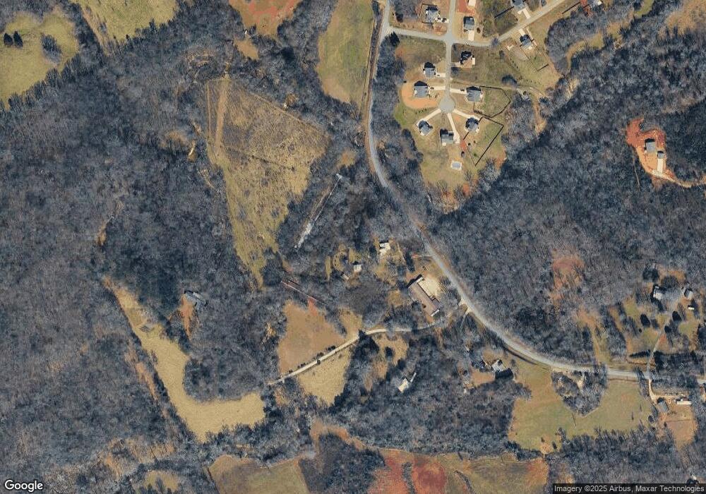
Map
Nearby Homes
- 318 Waterford Cir
- 1.73 ACRES TR3 Garrison Rd
- 1.18 ACRES Garrison Rd
- 149 Tall Oaks Dr
- 2175 Pea Ridge Rd
- 200 Spruce Ln
- 255 Laurel Place Dr
- 769 Dawn Place
- 731 Dawn Place
- 738 Wilbanks Rd
- 424 Highland Pointe Dr
- 335 Highland Pointe Dr
- 0 Woodmont Dr Unit LOT 3
- 263 Woodmont Dr
- 310 Georgian Terrace
- 0 Beachwood Dr Unit 7694240
- 0 Beachwood Dr Unit 35
- 930 Heads Ferry Rd
- 226 Highland Pointe Dr
- 517 Highland Pointe Dr
- 559 Garrison Rd
- 436 Crystal Way
- 432 Crystal Way
- 491 Garrison Rd
- 424 Crystal Way
- 499 Garrison Dr
- 363 Garrison Dr
- 408 Crystal Way
- 407 Crystal Way
- 377 Garrison Dr
- 359 Waterford Cir
- 336 Garrison Rd
- 350 Waterford Cir
- 755 Garrison Rd
- 188 Waterford Cir
- 185 Circle Dr
- 185 Waterford Cir
- 321 Waterford Cir
- 2345 Mud Creek Rd
- 2345 Mud Creek Rd
Your Personal Tour Guide
Ask me questions while you tour the home.