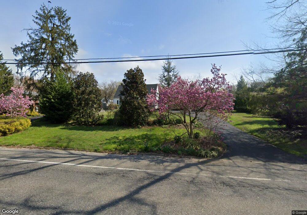
623 Hawks Bridge Rd Penns Grove, NJ 08069
Estimated Value: $257,590 - $504,000
--
Bed
--
Bath
1,979
Sq Ft
$177/Sq Ft
Est. Value
About This Home
This home is located at 623 Hawks Bridge Rd, Penns Grove, NJ 08069 and is currently estimated at $350,148, approximately $176 per square foot. 623 Hawks Bridge Rd is a home located in Salem County with nearby schools including Lafayette-Pershing Elementary School, Paul W. Carleton Elementary School, and Field Street Elementary School.
Ownership History
Date
Name
Owned For
Owner Type
Purchase Details
Closed on
Oct 26, 1990
Bought by
Leighty Robert M + Lianne M
Current Estimated Value
Create a Home Valuation Report for This Property
The Home Valuation Report is an in-depth analysis detailing your home's value as well as a comparison with similar homes in the area
Home Values in the Area
Average Home Value in this Area
Purchase History
| Date | Buyer | Sale Price | Title Company |
|---|---|---|---|
| Leighty Robert M + Lianne M | $95,000 | -- |
Source: Public Records
Tax History Compared to Growth
Tax History
| Year | Tax Paid | Tax Assessment Tax Assessment Total Assessment is a certain percentage of the fair market value that is determined by local assessors to be the total taxable value of land and additions on the property. | Land | Improvement |
|---|---|---|---|---|
| 2025 | $6,629 | $303,600 | $43,800 | $259,800 |
| 2024 | $6,401 | $179,800 | $38,700 | $141,100 |
| 2023 | $6,401 | $179,800 | $38,700 | $141,100 |
| 2022 | $6,023 | $179,800 | $38,700 | $141,100 |
| 2021 | $5,966 | $179,800 | $38,700 | $141,100 |
| 2020 | $6,018 | $179,800 | $38,700 | $141,100 |
| 2019 | $6,068 | $179,800 | $38,700 | $141,100 |
| 2018 | $6,090 | $193,400 | $38,800 | $154,600 |
| 2017 | $5,678 | $193,400 | $38,800 | $154,600 |
| 2016 | $5,471 | $193,400 | $38,800 | $154,600 |
| 2015 | $5,216 | $193,400 | $38,800 | $154,600 |
| 2014 | $4,938 | $193,400 | $38,800 | $154,600 |
Source: Public Records
Map
Nearby Homes
- 613 Hawks Bridge Rd
- 609 Hawks Bridge Rd
- 604 Hawks Bridge Rd
- 371 Route 40
- 371 40 Route
- 613 Soders Rd
- 1 Victory Ave Unit 84
- 1 Victory Ave Unit 82
- 1 Victory Ave Unit 74
- 1 Victory Ave Unit 72
- 1 Victory Ave Unit 8
- 1 Victory Ave Unit 93
- 1 Victory Ave
- 1 Victory Ave Unit 56
- 1 Victory Ave Unit 22
- 239 Pin Oak Dr
- 94 White Oak Dr
- 62 Penns Ave
- 17 King St
- 17 Sportsman Rd
- 621 Hawks Bridge Rd
- 622 Cedar Crest Dr
- 619 Hawks Bridge Rd
- 627 Hawks Bridge Rd
- 595 Orchard Dr
- 628 Hawks Bridge Rd
- 592 Homeland Rd
- 593 Orchard Dr
- 617 Hawks Bridge Rd
- 594 Orchard Dr
- 586 Homeland Rd
- 591 Orchard Dr
- 591 Orchard Rd
- 617 Cedar Crest Dr
- 620 Sorenson Dr
- 615 Hawks Bridge Rd
- 617 Sorenson Dr
- 614 Cedar Crest Dr
- 590 Orchard Dr
- 583 Orchard Rd