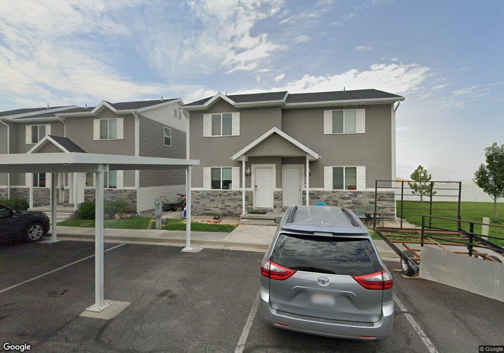
623 Kay Ln Tooele, UT 84074
Estimated Value: $227,000 - $259,000
2
Beds
2
Baths
930
Sq Ft
$263/Sq Ft
Est. Value
About This Home
This home is located at 623 Kay Ln, Tooele, UT 84074 and is currently estimated at $244,850, approximately $263 per square foot. 623 Kay Ln is a home located in Tooele County with nearby schools including Northlake Elementary School, Tooele Junior High School, and Tooele High School.
Ownership History
Date
Name
Owned For
Owner Type
Purchase Details
Closed on
Nov 13, 2024
Sold by
Anderson Michael Lavon
Bought by
Lehman Austin T
Current Estimated Value
Home Financials for this Owner
Home Financials are based on the most recent Mortgage that was taken out on this home.
Original Mortgage
$225,834
Outstanding Balance
$223,586
Interest Rate
6.12%
Mortgage Type
New Conventional
Estimated Equity
$21,264
Purchase Details
Closed on
Jan 30, 2019
Sold by
Sylacauga Development Llc
Bought by
Anderson Michael Lavon
Home Financials for this Owner
Home Financials are based on the most recent Mortgage that was taken out on this home.
Original Mortgage
$6,280
Interest Rate
4.6%
Mortgage Type
Stand Alone Second
Purchase Details
Closed on
Dec 26, 2017
Sold by
1051 Management Inc
Bought by
Sylacauga Development Llc
Create a Home Valuation Report for This Property
The Home Valuation Report is an in-depth analysis detailing your home's value as well as a comparison with similar homes in the area
Home Values in the Area
Average Home Value in this Area
Purchase History
| Date | Buyer | Sale Price | Title Company |
|---|---|---|---|
| Lehman Austin T | -- | Meridian Title | |
| Anderson Michael Lavon | -- | Pinnacle Title | |
| Sylacauga Development Llc | -- | Security Title Insurance Age |
Source: Public Records
Mortgage History
| Date | Status | Borrower | Loan Amount |
|---|---|---|---|
| Open | Lehman Austin T | $225,834 | |
| Previous Owner | Anderson Michael Lavon | $6,280 |
Source: Public Records
Tax History Compared to Growth
Tax History
| Year | Tax Paid | Tax Assessment Tax Assessment Total Assessment is a certain percentage of the fair market value that is determined by local assessors to be the total taxable value of land and additions on the property. | Land | Improvement |
|---|---|---|---|---|
| 2025 | $1,648 | $249,877 | $73,000 | $176,877 |
| 2024 | $1,983 | $151,347 | $55,000 | $96,347 |
| 2023 | $1,983 | $139,035 | $36,300 | $102,735 |
| 2022 | $1,619 | $139,335 | $41,250 | $98,085 |
| 2021 | $1,473 | $106,010 | $13,750 | $92,260 |
| 2020 | $1,411 | $176,122 | $25,000 | $151,122 |
| 2019 | $881 | $108,165 | $17,284 | $90,881 |
| 2018 | $117 | $7,500 | $7,500 | $0 |
| 2017 | $99 | $7,500 | $7,500 | $0 |
| 2016 | $156 | $7,500 | $7,500 | $0 |
| 2015 | $156 | $11,369 | $0 | $0 |
| 2014 | -- | $11,369 | $0 | $0 |
Source: Public Records
Map
Nearby Homes
- 541 N Coleman St
- 792 N 630 W
- 454 W 2520 N
- 831 Gleneagle Ct
- 490 Hawthorne St
- 459 W Sapphire Dr Unit 7034
- 429 W Sapphire Dr Unit 7038
- Snowbird Plan at Vista Meadows
- Sundance Plan at Vista Meadows
- Brighton Plan at Vista Meadows
- Solitude Plan at Vista Meadows
- 372 W 600 N Unit 42
- 409 W Sapphire Dr Unit 7040
- 352 W 600 N Unit 44
- 412 W Sapphire Dr Unit 7009
- 374 W 630 North St Unit 10
- 277 W 670 N
- 312 W Sapphire Dr
- 294 W Quartz Rd
- 366 W Diamant Ln