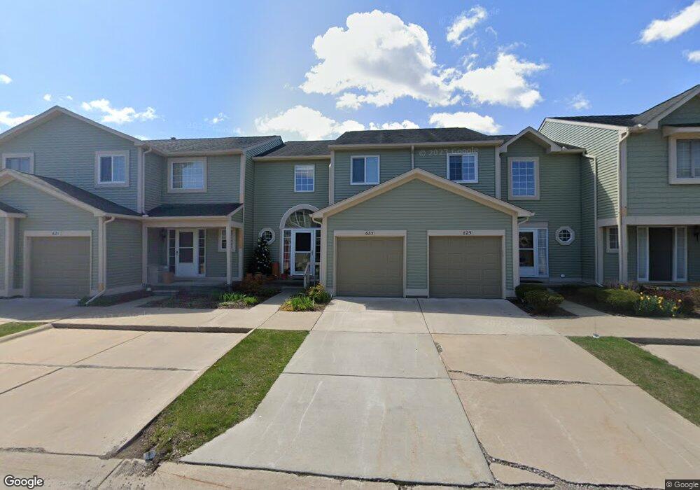
623 Liberty Pointe Dr Unit 40 Ann Arbor, MI 48103
Liberty Glen NeighborhoodEstimated Value: $313,197 - $341,000
3
Beds
2
Baths
1,378
Sq Ft
$238/Sq Ft
Est. Value
About This Home
This home is located at 623 Liberty Pointe Dr Unit 40, Ann Arbor, MI 48103 and is currently estimated at $328,549, approximately $238 per square foot. 623 Liberty Pointe Dr Unit 40 is a home located in Washtenaw County with nearby schools including Lakewood Elementary School, Forsythe Middle School, and Skyline High School.
Ownership History
Date
Name
Owned For
Owner Type
Purchase Details
Closed on
Apr 17, 2023
Sold by
Nesbit Margaret J
Bought by
Nesbit Margaret J
Current Estimated Value
Purchase Details
Closed on
Jun 4, 2003
Sold by
Parsons Frances M and Parsons John J
Bought by
Nesbit Margaret J
Home Financials for this Owner
Home Financials are based on the most recent Mortgage that was taken out on this home.
Original Mortgage
$151,900
Interest Rate
5.78%
Mortgage Type
Purchase Money Mortgage
Purchase Details
Closed on
Jul 13, 1999
Sold by
Larry Trust Flanigan
Bought by
Parsons John J
Create a Home Valuation Report for This Property
The Home Valuation Report is an in-depth analysis detailing your home's value as well as a comparison with similar homes in the area
Home Values in the Area
Average Home Value in this Area
Purchase History
| Date | Buyer | Sale Price | Title Company |
|---|---|---|---|
| Nesbit Margaret J | -- | None Listed On Document | |
| Nesbit Margaret J | $189,900 | -- | |
| Parsons John J | $149,000 | -- |
Source: Public Records
Mortgage History
| Date | Status | Borrower | Loan Amount |
|---|---|---|---|
| Previous Owner | Nesbit Margaret J | $151,900 |
Source: Public Records
Tax History Compared to Growth
Tax History
| Year | Tax Paid | Tax Assessment Tax Assessment Total Assessment is a certain percentage of the fair market value that is determined by local assessors to be the total taxable value of land and additions on the property. | Land | Improvement |
|---|---|---|---|---|
| 2025 | $4,088 | $148,500 | $0 | $0 |
| 2024 | $3,807 | $148,600 | $0 | $0 |
| 2023 | $3,510 | $142,200 | $0 | $0 |
| 2022 | $3,825 | $131,400 | $0 | $0 |
| 2021 | $3,735 | $125,600 | $0 | $0 |
| 2020 | $3,659 | $124,000 | $0 | $0 |
| 2019 | $3,483 | $115,100 | $115,100 | $0 |
| 2018 | $3,434 | $106,900 | $0 | $0 |
| 2017 | $3,340 | $100,700 | $0 | $0 |
| 2016 | $3,222 | $66,791 | $0 | $0 |
| 2015 | $3,069 | $66,592 | $0 | $0 |
| 2014 | $3,069 | $64,512 | $0 | $0 |
| 2013 | -- | $64,512 | $0 | $0 |
Source: Public Records
Map
Nearby Homes
- 609 Liberty Pointe Dr Unit 45
- 2564 W Towne St
- 813 E Summerfield Glen Cir
- 922 W Summerfield Glen Cir Unit 110
- 570 S Maple Rd
- 2509 W Liberty St
- 324 Highlake Ave
- 1053 Bluestem Ln
- 2149 Fair St
- 3177 Sunnywood Dr
- 1235 S Maple Rd Unit 202
- 1225 S Maple Rd Unit 307
- 2052 Liberty Heights
- 1265 S Maple Rd Unit 207
- 3224 Lakewood Dr
- 2120 Pauline Blvd Unit 305
- 2104 Pauline Blvd Unit 305
- 2107 Jackson Ave
- 2126 Pauline Blvd Unit 104
- 105 Pleasant Place
- 625 Liberty Pointe Dr
- 621 Liberty Pointe Dr
- 627 Liberty Pointe Dr Unit 38
- 629 Liberty Pointe Dr
- 617 Liberty Pointe Dr
- 615 Liberty Pointe Dr
- 659 Liberty Pointe Dr Unit 15
- 657 Liberty Pointe Dr
- 661 Liberty Pointe Dr Unit 16
- 651 Liberty Pointe Dr
- 603 Liberty Pointe Dr
- 655 Liberty Pointe Dr
- 663 Liberty Pointe Dr
- 601 Liberty Pointe Dr
- 599 Liberty Pointe Dr
- 607 Liberty Pointe Dr
- 607 Liberty Pointe Dr Unit 46
- 653 Liberty Pointe Dr Unit 12
- 665 Liberty Pointe Dr
- 597 Liberty Pointe Dr Unit 51