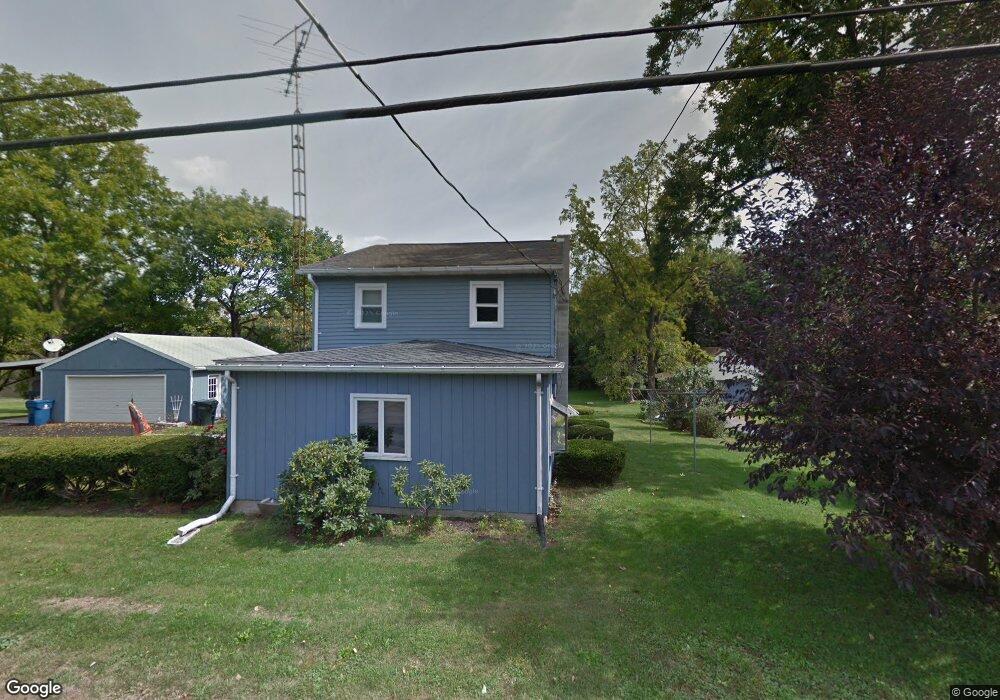
623 Range End Rd Dillsburg, PA 17019
Estimated Value: $226,000 - $290,000
3
Beds
2
Baths
1,280
Sq Ft
$201/Sq Ft
Est. Value
About This Home
This home is located at 623 Range End Rd, Dillsburg, PA 17019 and is currently estimated at $257,041, approximately $200 per square foot. 623 Range End Rd is a home located in York County with nearby schools including Northern Middle School and Northern High School.
Ownership History
Date
Name
Owned For
Owner Type
Purchase Details
Closed on
Jul 14, 2014
Sold by
Anderson Kevin V
Bought by
Reneker Yvonne M
Current Estimated Value
Purchase Details
Closed on
Apr 26, 2001
Sold by
Brunner Douglas C and Gustafson Gretchen E
Bought by
Anderson Kevin V and Anderson Cecelia A
Home Financials for this Owner
Home Financials are based on the most recent Mortgage that was taken out on this home.
Original Mortgage
$96,000
Interest Rate
7.37%
Create a Home Valuation Report for This Property
The Home Valuation Report is an in-depth analysis detailing your home's value as well as a comparison with similar homes in the area
Home Values in the Area
Average Home Value in this Area
Purchase History
| Date | Buyer | Sale Price | Title Company |
|---|---|---|---|
| Reneker Yvonne M | $117,000 | -- | |
| Anderson Kevin V | $95,800 | -- |
Source: Public Records
Mortgage History
| Date | Status | Borrower | Loan Amount |
|---|---|---|---|
| Previous Owner | Anderson Kevin V | $96,000 |
Source: Public Records
Tax History
| Year | Tax Paid | Tax Assessment Tax Assessment Total Assessment is a certain percentage of the fair market value that is determined by local assessors to be the total taxable value of land and additions on the property. | Land | Improvement |
|---|---|---|---|---|
| 2025 | $3,260 | $115,500 | $45,050 | $70,450 |
| 2024 | $3,225 | $115,500 | $45,050 | $70,450 |
| 2023 | $3,095 | $115,500 | $45,050 | $70,450 |
| 2022 | $3,030 | $115,500 | $45,050 | $70,450 |
| 2021 | $2,835 | $115,500 | $45,050 | $70,450 |
| 2020 | $2,769 | $115,500 | $45,050 | $70,450 |
| 2019 | $2,700 | $115,500 | $45,050 | $70,450 |
| 2018 | $2,643 | $115,500 | $45,050 | $70,450 |
| 2017 | $2,643 | $115,500 | $45,050 | $70,450 |
| 2016 | $0 | $115,500 | $45,050 | $70,450 |
| 2015 | -- | $115,500 | $45,050 | $70,450 |
| 2014 | -- | $115,500 | $45,050 | $70,450 |
Source: Public Records
Map
Nearby Homes
- 612 Range End Rd Unit 11
- 771 Range End Rd
- 18 May Dr
- 0 Range End Rd Unit PAYK2075290
- lot 1 Baltimore St
- 406 Golf Club Ave
- 96 Buttonwood Dr
- 121 Cherry Ln
- 0 Church St Unit PAYK2054218
- 167 Quail Dr
- Lot Cold Springs Rd
- 52 Pheasant Ridge Rd
- TBB Old York Rd Unit CARNEGIE II
- TBB Old York Rd Unit EDGEWOOD II
- TBB Old York Rd Unit CRANBERRY
- TBB Old York Rd Unit WHITEHALL II
- Homesite 11 Old York Rd
- 49 Old York Rd
- 303 Normandy Ln
- 0 S Mountain Rd Unit PAYK2094642
- 625 Range End Rd
- 1 Miller St
- 627 Range End Rd
- 626 Range End Rd
- 619 Range End Rd
- 621 Range End Rd
- 621 Range End Rd
- 621 Range End Rd
- 621 Range End Rd
- 621 Range End Rd
- 621 Range End Rd
- 621 Range End Rd
- 621 Range End Rd
- 621 Range End Rd
- 621 Range End Rd Unit 3
- 621 Range End Rd Unit 2
- 621 Range End Rd
- 5 Miller St
- 615 Range End Rd
- 628 Range End Rd
Your Personal Tour Guide
Ask me questions while you tour the home.