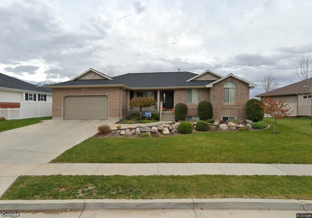
623 S 275 W Layton, UT 84041
Estimated Value: $559,000 - $628,142
3
Beds
2
Baths
1,680
Sq Ft
$353/Sq Ft
Est. Value
About This Home
This home is located at 623 S 275 W, Layton, UT 84041 and is currently estimated at $592,286, approximately $352 per square foot. 623 S 275 W is a home located in Davis County with nearby schools including Layton Elementary School, Fairfield Junior High School, and Davis High School.
Ownership History
Date
Name
Owned For
Owner Type
Purchase Details
Closed on
Jul 2, 2004
Sold by
Merrill Kent E and Merrill Carol D
Bought by
Gove Chad A
Current Estimated Value
Purchase Details
Closed on
Dec 19, 2003
Sold by
L Dale Green Construction Inc
Bought by
Merrill Kent E and Merrill Carol D
Home Financials for this Owner
Home Financials are based on the most recent Mortgage that was taken out on this home.
Original Mortgage
$110,000
Interest Rate
5.97%
Mortgage Type
Purchase Money Mortgage
Purchase Details
Closed on
Jul 22, 2003
Sold by
Green & Green Lc
Bought by
L Dale Green Construction Inc
Home Financials for this Owner
Home Financials are based on the most recent Mortgage that was taken out on this home.
Original Mortgage
$169,600
Interest Rate
5.15%
Mortgage Type
Construction
Create a Home Valuation Report for This Property
The Home Valuation Report is an in-depth analysis detailing your home's value as well as a comparison with similar homes in the area
Home Values in the Area
Average Home Value in this Area
Purchase History
| Date | Buyer | Sale Price | Title Company |
|---|---|---|---|
| Gove Chad A | -- | Meridian Title Company | |
| Merrill Kent E | -- | Security Title Company | |
| L Dale Green Construction Inc | -- | Security Title Company |
Source: Public Records
Mortgage History
| Date | Status | Borrower | Loan Amount |
|---|---|---|---|
| Previous Owner | Merrill Kent E | $110,000 | |
| Previous Owner | L Dale Green Construction Inc | $169,600 |
Source: Public Records
Tax History Compared to Growth
Tax History
| Year | Tax Paid | Tax Assessment Tax Assessment Total Assessment is a certain percentage of the fair market value that is determined by local assessors to be the total taxable value of land and additions on the property. | Land | Improvement |
|---|---|---|---|---|
| 2025 | $3,029 | $317,900 | $133,903 | $183,997 |
| 2024 | $2,736 | $289,300 | $142,977 | $146,323 |
| 2023 | $2,742 | $511,000 | $151,963 | $359,037 |
| 2022 | $3,103 | $314,050 | $87,980 | $226,070 |
| 2021 | $2,696 | $407,000 | $131,947 | $275,053 |
| 2020 | $2,451 | $355,000 | $112,868 | $242,132 |
| 2019 | $2,390 | $339,000 | $111,829 | $227,171 |
| 2018 | $2,212 | $315,000 | $98,604 | $216,396 |
| 2016 | $2,038 | $149,710 | $40,244 | $109,466 |
| 2015 | $2,045 | $142,615 | $40,244 | $102,371 |
| 2014 | $2,248 | $160,294 | $40,244 | $120,050 |
| 2013 | -- | $140,299 | $38,634 | $101,665 |
Source: Public Records
Map
Nearby Homes
- 267 S Melody St
- 774 W Farming Way
- 562 S 850 W
- 174 W Dawson St
- 268 E 900 S
- 362 S 950 W
- 282 E 925 S
- 296 S 950 W
- 355 W Gentile St
- 356 W 25 N
- 1038 S Old Towne Rd
- 485 W 100 N
- 1042 W Shoreline Dr
- 557 S Angel St
- 750 W Gentile St
- 933 W Gentile St
- Creighton Farmhouse Plan at Angel Hill
- 256 Seemore Dr
- 6 Grover St
- 473 E Alice Way