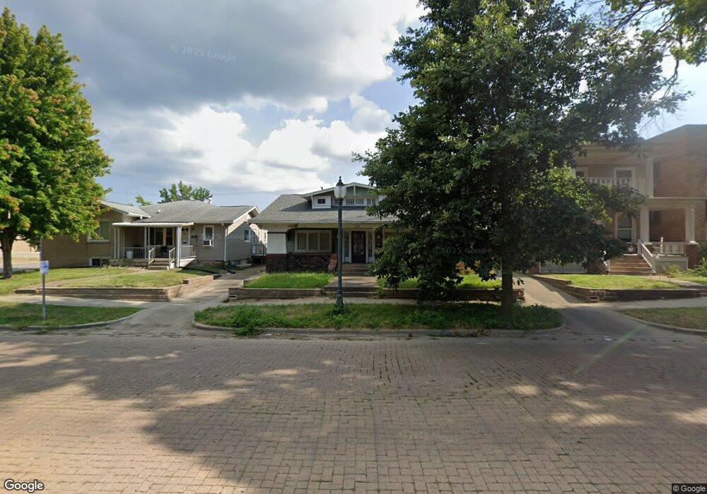
623 W Main St Decatur, IL 62522
Near West NeighborhoodEstimated Value: $61,000 - $74,000
--
Bed
--
Bath
1,817
Sq Ft
$38/Sq Ft
Est. Value
About This Home
This home is located at 623 W Main St, Decatur, IL 62522 and is currently estimated at $69,766, approximately $38 per square foot. 623 W Main St is a home located in Macon County with nearby schools including Dennis Lab School, St. Patrick School, and Teen Challenge-Home For Girls.
Ownership History
Date
Name
Owned For
Owner Type
Purchase Details
Closed on
Jun 19, 2017
Sold by
Chiligiris Konstantinos G
Bought by
Cordray Daniel L
Current Estimated Value
Purchase Details
Closed on
Jun 9, 2006
Sold by
Potter P Duane and Potter Lynn H
Bought by
Chiligiris Konstantinos G
Home Financials for this Owner
Home Financials are based on the most recent Mortgage that was taken out on this home.
Original Mortgage
$45,066
Interest Rate
6.66%
Mortgage Type
FHA
Purchase Details
Closed on
Mar 11, 2005
Sold by
Federal Home Loan Mortgage Corporation
Bought by
Potter P Duane and Potter Lynn H
Purchase Details
Closed on
Feb 1, 2002
Create a Home Valuation Report for This Property
The Home Valuation Report is an in-depth analysis detailing your home's value as well as a comparison with similar homes in the area
Home Values in the Area
Average Home Value in this Area
Purchase History
| Date | Buyer | Sale Price | Title Company |
|---|---|---|---|
| Cordray Daniel L | -- | -- | |
| Chiligiris Konstantinos G | $45,000 | None Available | |
| Potter P Duane | -- | None Available | |
| -- | $40,500 | -- |
Source: Public Records
Mortgage History
| Date | Status | Borrower | Loan Amount |
|---|---|---|---|
| Previous Owner | Chiligiris Konstantinos G | $45,066 |
Source: Public Records
Tax History Compared to Growth
Tax History
| Year | Tax Paid | Tax Assessment Tax Assessment Total Assessment is a certain percentage of the fair market value that is determined by local assessors to be the total taxable value of land and additions on the property. | Land | Improvement |
|---|---|---|---|---|
| 2024 | $1,212 | $18,519 | $2,119 | $16,400 |
| 2023 | $1,181 | $17,863 | $2,044 | $15,819 |
| 2022 | $991 | $15,693 | $1,796 | $13,897 |
| 2021 | $891 | $14,655 | $1,677 | $12,978 |
| 2020 | $848 | $13,974 | $1,599 | $12,375 |
| 2019 | $848 | $13,974 | $1,599 | $12,375 |
| 2018 | $1,473 | $14,020 | $1,604 | $12,416 |
| 2017 | $879 | $14,394 | $1,647 | $12,747 |
| 2016 | $902 | $14,541 | $1,664 | $12,877 |
| 2015 | $847 | $14,284 | $1,635 | $12,649 |
| 2014 | $781 | $14,143 | $1,619 | $12,524 |
| 2013 | $828 | $14,674 | $1,680 | $12,994 |
Source: Public Records
Map
Nearby Homes
- 717 W Prairie Ave Unit 2
- 657 W Wood St
- 612 W Macon St
- 609 W William St
- 452 W Prairie Ave
- 254 N Pine St
- 442 W Prairie Ave
- 450 W Macon St
- 440 W Macon St
- 233 N Edward St
- 899 W Main St
- 617 W Decatur St
- 366 W Prairie Ave
- 422 W William St
- 320 W Main St
- 441 S Seigel St
- 281 W Prairie Ave
- 437 Powers Ln
- 330 W William St
- 628 W Forest Ave