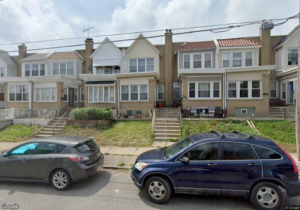
6230 Brous Ave Philadelphia, PA 19149
Mayfair NeighborhoodEstimated Value: $203,000 - $236,000
3
Beds
1
Bath
1,332
Sq Ft
$161/Sq Ft
Est. Value
About This Home
This home is located at 6230 Brous Ave, Philadelphia, PA 19149 and is currently estimated at $214,869, approximately $161 per square foot. 6230 Brous Ave is a home located in Philadelphia County with nearby schools including Lincoln High School, Ethan Allen School, and Blessed Trinity Regional Catholic School.
Ownership History
Date
Name
Owned For
Owner Type
Purchase Details
Closed on
Feb 14, 2006
Sold by
Bowler Louise and Will Of Clara Litwin
Bought by
Litwin Donna
Current Estimated Value
Home Financials for this Owner
Home Financials are based on the most recent Mortgage that was taken out on this home.
Original Mortgage
$16,670
Outstanding Balance
$9,357
Interest Rate
6.15%
Mortgage Type
Purchase Money Mortgage
Estimated Equity
$205,512
Create a Home Valuation Report for This Property
The Home Valuation Report is an in-depth analysis detailing your home's value as well as a comparison with similar homes in the area
Home Values in the Area
Average Home Value in this Area
Purchase History
| Date | Buyer | Sale Price | Title Company |
|---|---|---|---|
| Litwin Donna | -- | None Available |
Source: Public Records
Mortgage History
| Date | Status | Borrower | Loan Amount |
|---|---|---|---|
| Open | Litwin Donna | $16,670 |
Source: Public Records
Tax History Compared to Growth
Tax History
| Year | Tax Paid | Tax Assessment Tax Assessment Total Assessment is a certain percentage of the fair market value that is determined by local assessors to be the total taxable value of land and additions on the property. | Land | Improvement |
|---|---|---|---|---|
| 2025 | $2,321 | $194,400 | $38,880 | $155,520 |
| 2024 | $2,321 | $194,400 | $38,880 | $155,520 |
| 2023 | $2,321 | $165,800 | $33,160 | $132,640 |
| 2022 | $1,691 | $120,800 | $33,160 | $87,640 |
| 2021 | $1,709 | $0 | $0 | $0 |
| 2020 | $1,709 | $0 | $0 | $0 |
| 2019 | $1,641 | $0 | $0 | $0 |
| 2018 | $1,541 | $0 | $0 | $0 |
| 2017 | $1,541 | $0 | $0 | $0 |
| 2016 | $1,110 | $0 | $0 | $0 |
| 2015 | $1,073 | $0 | $0 | $0 |
| 2014 | -- | $110,100 | $14,385 | $95,715 |
| 2012 | -- | $14,048 | $1,497 | $12,551 |
Source: Public Records
Map
Nearby Homes
- 6233 Cardiff St
- 6204 Mershon St
- 6333 Mershon St
- 6200 Cardiff St
- 3007 Mckinley St
- 2916 Levick St
- 2910 Passmore St
- 2911 Passmore St
- 2818 Hellerman St
- 2133 Mckinley St
- 4007 Higbee St
- 4623 Hawthorne St
- 2687 Levick St
- 2140 Stevens St
- 6143 Hawthorne St
- 6241 Frankford Ave
- 6239 Frankford Ave
- 2112 Robbins Ave
- 2818 Gilham St
- 3134 Stirling St
- 6228 Brous Ave
- 6226 Brous Ave
- 6224 Brous Ave
- 6232 Brous Ave
- 6222 Brous Ave
- 6234 Brous Ave
- 6220 Brous Ave
- 6236 Brous Ave
- 6229 Mershon St
- 6231 Mershon St
- 6227 Mershon St
- 6225 Mershon St
- 6218 Brous Ave
- 6233 Mershon St
- 6238 Brous Ave
- 6223 Mershon St
- 6235 Mershon St
- 6216 Brous Ave
- 6221 Mershon St
- 6237 Mershon St