6230 Browns Bridge Rd Cumming, GA 30041
Lake Lanier NeighborhoodEstimated Value: $1,215,942 - $1,601,000
6
Beds
5
Baths
4,164
Sq Ft
$320/Sq Ft
Est. Value
About This Home
This home is located at 6230 Browns Bridge Rd, Cumming, GA 30041 and is currently estimated at $1,331,986, approximately $319 per square foot. 6230 Browns Bridge Rd is a home located in Forsyth County with nearby schools including Chattahoochee Elementary School, Little Mill Middle School, and Cornerstone Schools.
Ownership History
Date
Name
Owned For
Owner Type
Purchase Details
Closed on
Jun 30, 1999
Sold by
Lanham Joel
Bought by
Lanham Joel and Lanham Catherine F
Current Estimated Value
Home Financials for this Owner
Home Financials are based on the most recent Mortgage that was taken out on this home.
Original Mortgage
$300,000
Outstanding Balance
$84,697
Interest Rate
7.66%
Mortgage Type
New Conventional
Estimated Equity
$1,247,289
Create a Home Valuation Report for This Property
The Home Valuation Report is an in-depth analysis detailing your home's value as well as a comparison with similar homes in the area
Home Values in the Area
Average Home Value in this Area
Purchase History
| Date | Buyer | Sale Price | Title Company |
|---|---|---|---|
| Lanham Joel | -- | -- | |
| Lanham Joel | $520,000 | -- |
Source: Public Records
Mortgage History
| Date | Status | Borrower | Loan Amount |
|---|---|---|---|
| Open | Lanham Joel | $300,000 |
Source: Public Records
Tax History Compared to Growth
Tax History
| Year | Tax Paid | Tax Assessment Tax Assessment Total Assessment is a certain percentage of the fair market value that is determined by local assessors to be the total taxable value of land and additions on the property. | Land | Improvement |
|---|---|---|---|---|
| 2025 | $1,453 | $457,896 | $200,000 | $257,896 |
| 2024 | $1,453 | $429,312 | $200,000 | $229,312 |
| 2023 | $1,389 | $400,800 | $160,000 | $240,800 |
| 2022 | $1,471 | $282,096 | $132,000 | $150,096 |
| 2021 | $1,404 | $282,096 | $132,000 | $150,096 |
| 2020 | $1,376 | $252,036 | $110,000 | $142,036 |
| 2019 | $6,305 | $251,264 | $110,000 | $141,264 |
| 2018 | $6,162 | $243,012 | $110,000 | $133,012 |
| 2017 | $5,996 | $234,028 | $110,000 | $124,028 |
| 2016 | $5,996 | $234,028 | $110,000 | $124,028 |
| 2015 | $6,008 | $234,028 | $110,000 | $124,028 |
| 2014 | $5,499 | $224,468 | $0 | $0 |
Source: Public Records
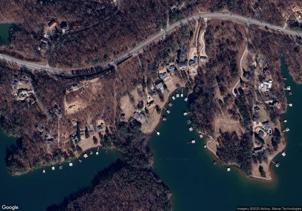
Map
Nearby Homes
- 0 Raines Dr Unit 3 10361215
- 0 Raines Dr Unit 2 10361207
- 0 Raines Dr Unit 7441495
- 0 Raines Dr Unit 7441479
- 6212 Browns Bridge Rd
- 6265 Reives Rd
- 6305 Eidson Dr
- 7240 Highbrook Cir E
- 7170 Lawson Dr
- 6780 Lawson Cir
- 6595 Akins Way
- 6635 Lawson Cir
- 00 Lawson Cir
- 5795 Charleston Bay Dr
- 7010 Valley Landing Ct
- 6375 Little Mill Rd
- 5875 Windjammer Point
- 6350 Akins Way
- 6355 Little Mill Rd
- 6216 Browns Bridge Rd
- 6240 Browns Bridge Rd
- 6250 Browns Bridge Rd
- 6220 Browns Bridge Rd
- 6260 Browns Bridge Rd
- 6290 Browns Bridge Rd
- 6204 Browns Bridge Rd
- 6300 Browns Bridge Rd Unit 3
- 6300 Browns Bridge Rd
- 6310 Browns Bridge Rd
- 6190 Browns Bridge Rd
- 6320 Browns Bridge Rd Unit 721-2
- 6320 Browns Bridge Rd
- 6206 Browns Bridge Rd
- 6150 Reives Rd
- 6208 Browns Bridge Rd
- 6435 Raines Dr
- 0 Reives Rd Unit 8513899
- 0 Reives Rd Unit 8412575
- 0 Reives Rd Unit 8329979