6230 Main St Bay City, OR 97107
Estimated Value: $900,552 - $962,000
4
Beds
3
Baths
4,454
Sq Ft
$209/Sq Ft
Est. Value
About This Home
This home is located at 6230 Main St, Bay City, OR 97107 and is currently estimated at $931,276, approximately $209 per square foot. 6230 Main St is a home located in Tillamook County with nearby schools including Garibaldi Elementary School, Nehalem Elementary School, and Neah-Kah-Nie Middle School.
Ownership History
Date
Name
Owned For
Owner Type
Purchase Details
Closed on
Dec 16, 2020
Sold by
Wustenberg Mark and Wustenberg Rlt Phyllis R
Bought by
Wustenberg Mark and Wustenberg Judith
Current Estimated Value
Purchase Details
Closed on
Aug 14, 2020
Sold by
Wustenberg Mark and Wustenberg Rlt Phyllis R
Bought by
Wustenberg Mark and Wustenberg Judith
Purchase Details
Closed on
Feb 9, 2015
Sold by
Wustenberg Mark and Wustenberg Judith
Bought by
Mark & Judith Wustenberg Joint Revocable
Purchase Details
Closed on
Sep 3, 2010
Sold by
Wustenberg Phyllis R and Wustenberg Donald W
Bought by
Wustenberg Phyllis R and Wustenberg Donald W
Create a Home Valuation Report for This Property
The Home Valuation Report is an in-depth analysis detailing your home's value as well as a comparison with similar homes in the area
Home Values in the Area
Average Home Value in this Area
Purchase History
| Date | Buyer | Sale Price | Title Company |
|---|---|---|---|
| Wustenberg Mark | -- | None Available | |
| Wustenberg Mark | -- | None Available | |
| Mark & Judith Wustenberg Joint Revocable | -- | None Available | |
| Wustenberg Phyllis R | -- | None Available |
Source: Public Records
Tax History Compared to Growth
Tax History
| Year | Tax Paid | Tax Assessment Tax Assessment Total Assessment is a certain percentage of the fair market value that is determined by local assessors to be the total taxable value of land and additions on the property. | Land | Improvement |
|---|---|---|---|---|
| 2024 | $5,363 | $436,038 | $36,458 | $399,580 |
| 2023 | $5,316 | $423,345 | $35,395 | $387,950 |
| 2022 | $4,786 | $411,022 | $34,362 | $376,660 |
| 2021 | $3,497 | $298,441 | $33,371 | $265,070 |
| 2020 | $3,411 | $289,750 | $32,400 | $257,350 |
| 2019 | $3,353 | $281,321 | $31,461 | $249,860 |
| 2018 | $3,292 | $273,132 | $30,542 | $242,590 |
| 2017 | $3,094 | $265,184 | $29,654 | $235,530 |
| 2016 | $3,015 | $257,467 | $28,787 | $228,680 |
| 2015 | $2,952 | $249,970 | $27,950 | $222,020 |
| 2014 | $76 | $855 | $855 | $0 |
| 2013 | $76 | $830 | $830 | $0 |
Source: Public Records
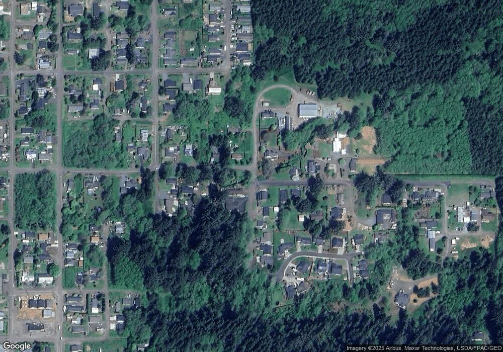
Map
Nearby Homes
- VL Dew Pointe Dr
- 9655 8th St
- 0 Tl12100 8th St
- 0 Vl Dew Pointe Dr Unit 607838388
- TL 1500 Fern St
- TL#04003 11th St
- 0 11th St Unit 4003 23649325
- VL 8th and E
- 0 8th and St E Unit 775286879
- 9065 8th St
- VL Portland Ave
- TL#12100 8th St
- 6775 Baseline Rd
- 0 Tl 4001 4002 Seattle Ave
- 0 Tl 1500 Fern St Unit 1 & 2
- 6670 Seattle Ave
- 0 Vl Portland Ave
- 0 S Ridge Dr Unit 23529031
- 0 S Ridge Dr Unit Lt.44 22655581
- 0 S Ridge Dr Unit 47 22588234