62306 Needham Rd Burr Oak, MI 49030
Estimated Value: $327,000 - $552,812
--
Bed
--
Bath
3,100
Sq Ft
$145/Sq Ft
Est. Value
About This Home
This home is located at 62306 Needham Rd, Burr Oak, MI 49030 and is currently estimated at $449,271, approximately $144 per square foot. 62306 Needham Rd is a home located in St. Joseph County.
Ownership History
Date
Name
Owned For
Owner Type
Purchase Details
Closed on
Feb 5, 2019
Sold by
Neuenschwander Elizabeth
Bought by
Neuenschwander Jonas and Neuenschwander Veronica
Current Estimated Value
Home Financials for this Owner
Home Financials are based on the most recent Mortgage that was taken out on this home.
Original Mortgage
$225,000
Outstanding Balance
$199,000
Interest Rate
4.8%
Mortgage Type
Commercial
Estimated Equity
$250,271
Purchase Details
Closed on
Dec 28, 2009
Sold by
Neuenschwander John J and Neuenschwander Elizabeth M
Bought by
Neuenschwander Family Trust
Purchase Details
Closed on
Apr 29, 1998
Purchase Details
Closed on
Sep 22, 1997
Sold by
Bontrager Joseph W and Bontrager Fannie L
Bought by
Neuenschwander John J and Neuenschwander Elizabeth M
Create a Home Valuation Report for This Property
The Home Valuation Report is an in-depth analysis detailing your home's value as well as a comparison with similar homes in the area
Home Values in the Area
Average Home Value in this Area
Purchase History
| Date | Buyer | Sale Price | Title Company |
|---|---|---|---|
| Neuenschwander Jonas | $135,000 | None Available | |
| Neuenschwander Family Trust | -- | Vt | |
| -- | -- | -- | |
| Neuenschwander John J | -- | -- |
Source: Public Records
Mortgage History
| Date | Status | Borrower | Loan Amount |
|---|---|---|---|
| Open | Neuenschwander Jonas | $225,000 |
Source: Public Records
Tax History Compared to Growth
Tax History
| Year | Tax Paid | Tax Assessment Tax Assessment Total Assessment is a certain percentage of the fair market value that is determined by local assessors to be the total taxable value of land and additions on the property. | Land | Improvement |
|---|---|---|---|---|
| 2025 | $4,327 | $462,400 | $115,500 | $346,900 |
| 2024 | $1,601 | $282,200 | $108,900 | $173,300 |
| 2023 | $1,525 | $240,000 | $61,100 | $178,900 |
| 2022 | $0 | $215,600 | $73,000 | $142,600 |
| 2021 | $3,829 | $207,600 | $61,100 | $146,500 |
| 2020 | $3,782 | $189,800 | $56,100 | $133,700 |
| 2019 | $3,712 | $173,000 | $55,400 | $117,600 |
| 2018 | $3,467 | $161,600 | $55,400 | $106,200 |
| 2017 | $3,365 | $156,600 | $156,600 | $0 |
| 2016 | -- | $136,400 | $136,400 | $0 |
| 2015 | -- | $142,800 | $0 | $0 |
| 2014 | -- | $144,900 | $144,900 | $0 |
| 2012 | -- | $130,400 | $130,400 | $0 |
Source: Public Records
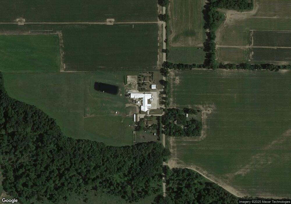
Map
Nearby Homes
- 60651 Bert Rd
- 63810 Middle Colon Rd
- 63890 Middle Colon Rd
- 31908 Decker Rd
- 0 V L M66- 102+ - Unit 24045986
- 59010 Lakeshore Dr
- 32205 James St
- 58954 Lakeshore Dr
- 28195 Blackberry Ln
- 832 W Front St
- 448 Long Lake Rd
- 142 N 2nd St
- 427 E Main St
- 906 Bowman St
- 0 S Farrand Unit 25051538
- V/L White Pine Dr
- 59178 Nora Dr
- 316 Kane Rd
- 27810 Maystead Rd
- 210 E South St
- 62228 Needham Rd
- 30880 Townline Rd
- 31074 Townline Rd
- 62301 Needham Rd
- 62275 Farrand Rd
- 30479 Findley Rd
- 31040 Findley Rd
- 30300 Findley Rd
- 30327 Findley Rd
- 30331 Findley Rd
- 30297 Mowry Rd
- 30297 Mowry Rd
- 31262 Townline Rd
- 30289 Mowry Rd
- 30281 Mowry Rd
- 30267 Mowry Rd
- 30243 Mowry Rd
- 30235 Findley Rd
- 30229 Mowry Rd
- 30335 Findley Rd