6231 Metz Rd New Middletown, OH 44442
Estimated Value: $274,000 - $368,000
3
Beds
3
Baths
1,824
Sq Ft
$173/Sq Ft
Est. Value
About This Home
This home is located at 6231 Metz Rd, New Middletown, OH 44442 and is currently estimated at $314,910, approximately $172 per square foot. 6231 Metz Rd is a home located in Mahoning County with nearby schools including Springfield Elementary School, Springfield Intermediate Middle School, and Springfield High School.
Ownership History
Date
Name
Owned For
Owner Type
Purchase Details
Closed on
Mar 24, 2004
Sold by
Mamone Nancy M and Mamone Nancy Marie
Bought by
Nalevanko Michael E and Mayhue Erica L
Current Estimated Value
Home Financials for this Owner
Home Financials are based on the most recent Mortgage that was taken out on this home.
Original Mortgage
$130,000
Outstanding Balance
$61,054
Interest Rate
5.74%
Mortgage Type
Purchase Money Mortgage
Estimated Equity
$253,856
Purchase Details
Closed on
Mar 3, 2000
Bought by
Michael E Nalevanko and Nalevanko
Create a Home Valuation Report for This Property
The Home Valuation Report is an in-depth analysis detailing your home's value as well as a comparison with similar homes in the area
Home Values in the Area
Average Home Value in this Area
Purchase History
| Date | Buyer | Sale Price | Title Company |
|---|---|---|---|
| Nalevanko Michael E | $137,000 | -- | |
| Michael E Nalevanko | -- | -- |
Source: Public Records
Mortgage History
| Date | Status | Borrower | Loan Amount |
|---|---|---|---|
| Open | Nalevanko Michael E | $130,000 |
Source: Public Records
Tax History Compared to Growth
Tax History
| Year | Tax Paid | Tax Assessment Tax Assessment Total Assessment is a certain percentage of the fair market value that is determined by local assessors to be the total taxable value of land and additions on the property. | Land | Improvement |
|---|---|---|---|---|
| 2024 | $3,500 | $86,330 | $10,380 | $75,950 |
| 2023 | $3,441 | $86,330 | $10,380 | $75,950 |
| 2022 | $2,990 | $67,310 | $10,840 | $56,470 |
| 2021 | $3,013 | $67,310 | $10,840 | $56,470 |
| 2020 | $3,030 | $67,310 | $10,840 | $56,470 |
| 2019 | $2,816 | $60,370 | $10,840 | $49,530 |
| 2018 | $2,782 | $60,370 | $10,840 | $49,530 |
| 2017 | $2,659 | $60,370 | $10,840 | $49,530 |
| 2016 | $2,540 | $54,560 | $10,210 | $44,350 |
| 2015 | $2,158 | $47,770 | $10,210 | $37,560 |
| 2014 | $2,168 | $47,770 | $10,210 | $37,560 |
| 2013 | $2,148 | $47,770 | $10,210 | $37,560 |
Source: Public Records
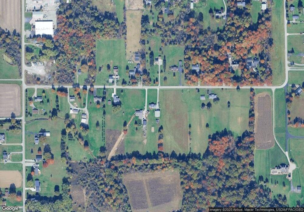
Map
Nearby Homes
- 0 E Calla Rd Unit 5175446
- 5315 Sycamore Hill Dr
- 9825 Struthers Rd
- 11.61 acres Stateline Rd
- 11525 Rapp Rd
- 76 Stacy Dr
- 4940 E Calla Rd
- 151 Crum Rd
- 56 Jeffrey Ln
- 0 Youngstown - Pittsburgh Rd Unit 5110475
- 93 Woodland Dr
- 0 Meadowbrook Dr Unit 5110501
- 170 Sandy Ct Unit 11
- 170 Sandy Ct Unit 7
- 0 Sandy Ct Unit 5110511
- 10115 Carrie Ct
- Lot F Kansas Rd
- 10105 Carrie Ct
- 10250 Midway Dr
- 8 Elm St