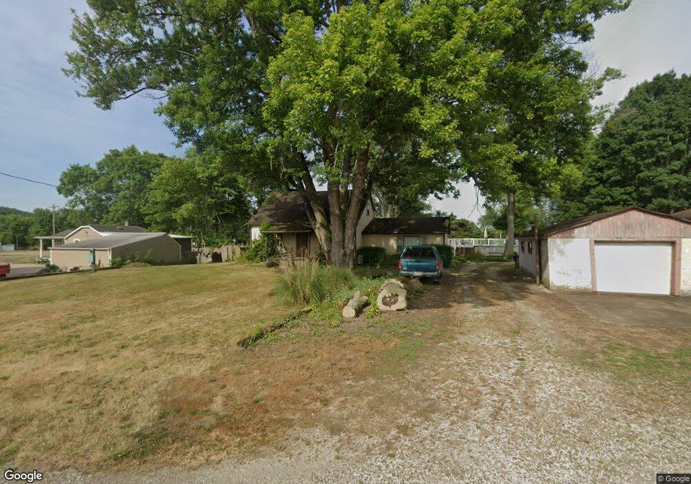
6232 Largo Rd NW Unit 13W Malvern, OH 44644
Estimated Value: $233,000 - $553,000
3
Beds
1
Bath
1,920
Sq Ft
$170/Sq Ft
Est. Value
About This Home
This home is located at 6232 Largo Rd NW Unit 13W, Malvern, OH 44644 and is currently estimated at $325,561, approximately $169 per square foot. 6232 Largo Rd NW Unit 13W is a home located in Carroll County with nearby schools including Malvern Elementary School, Malvern Middle School, and Malvern High School.
Ownership History
Date
Name
Owned For
Owner Type
Purchase Details
Closed on
Aug 15, 2024
Sold by
Harsha Benny L and Harsha Scott A
Bought by
Harsha Benny L and Harsha Scott A
Current Estimated Value
Purchase Details
Closed on
Jun 21, 2006
Sold by
Cole Troy D and Cole Lisa R
Bought by
Harsha Benny L and Harsha Scott A
Home Financials for this Owner
Home Financials are based on the most recent Mortgage that was taken out on this home.
Original Mortgage
$106,000
Interest Rate
6.72%
Mortgage Type
Purchase Money Mortgage
Create a Home Valuation Report for This Property
The Home Valuation Report is an in-depth analysis detailing your home's value as well as a comparison with similar homes in the area
Home Values in the Area
Average Home Value in this Area
Purchase History
| Date | Buyer | Sale Price | Title Company |
|---|---|---|---|
| Harsha Benny L | -- | None Listed On Document | |
| Harsha Benny L | -- | None Listed On Document | |
| Harsha Benny L | $104,500 | Attorney |
Source: Public Records
Mortgage History
| Date | Status | Borrower | Loan Amount |
|---|---|---|---|
| Previous Owner | Harsha Benny L | $106,000 |
Source: Public Records
Tax History Compared to Growth
Tax History
| Year | Tax Paid | Tax Assessment Tax Assessment Total Assessment is a certain percentage of the fair market value that is determined by local assessors to be the total taxable value of land and additions on the property. | Land | Improvement |
|---|---|---|---|---|
| 2024 | $2,850 | $50,140 | $8,720 | $41,420 |
| 2023 | $2,304 | $50,140 | $8,720 | $41,420 |
| 2022 | $2,294 | $41,600 | $7,230 | $34,370 |
| 2021 | $1,923 | $41,600 | $7,230 | $34,370 |
| 2020 | $1,925 | $41,600 | $7,230 | $34,370 |
| 2019 | $2,019 | $41,601 | $7,231 | $34,370 |
| 2018 | $1,742 | $35,180 | $6,100 | $29,080 |
| 2017 | $1,742 | $35,180 | $6,100 | $29,080 |
| 2016 | $1,711 | $32,280 | $5,600 | $26,680 |
| 2015 | $1,545 | $32,280 | $5,600 | $26,680 |
| 2014 | $1,591 | $32,280 | $5,600 | $26,680 |
| 2013 | $1,581 | $32,280 | $5,600 | $26,680 |
Source: Public Records
Map
Nearby Homes
- 9144 Malwayne Dr NW
- 5192 Willow Dr NW Unit 19A
- 5168 Willow Dr NW
- 32 E Mohawk Dr
- 5051 Citrus Rd NW
- 121 W Mohawk Dr
- 409 Pleasant Ave
- 416 W Main St Unit 22
- 83 Oneida Trail
- 158 W Mohawk Dr
- 408 Gascon St
- 814 Pleasant Ave
- 91 Oneida Trail
- 7145 Bluebird Rd NW
- 8038 Avalon Rd NW
- 145 E Mohawk Dr
- 58 Pueblo Trail
- 6 Cayuga Trail
- 39 Pueblo Trail
- 424 E Porter St Unit 21
- 6923 Alliance Rd NW Unit 13W
- 6231 Largo Rd NW Unit 13W
- 6930 Alliance Rd NW Unit 14WB
- 6913 Alliance Rd NW Unit 13W
- 6924 Alliance Rd NW Unit 14WB
- 6239 Largo Rd NW Unit 13W
- 6912 Alliance Rd NW Unit 14WB
- 6245 Largo Rd NW Unit 13W
- 6946 Alliance Rd NW Unit 14WB
- 6255 Largo Rd NW Unit 13W
- 6922 Alliance Rd NW Unit 14WB
- 9009 Wilco Dr NW Unit 9111
- 9111 Wilco Dr NW
- 6233 Largo Rd NW
- 6900 Alliance Rd NW Unit 14WB
- 6906 Alliance Rd NW Unit 14WB
- 6952 Alliance Rd NW Unit 14WB
- 6958 Alliance Rd NW Unit 14WB
- 6883 Alliance Rd NW Unit 13W
- 6894 Alliance Rd NW