6232 N Pepper Jade Loop Owasso, OK 74055
Stone Canyon NeighborhoodEstimated Value: $890,000 - $1,001,000
4
Beds
4
Baths
4,258
Sq Ft
$225/Sq Ft
Est. Value
About This Home
This home is located at 6232 N Pepper Jade Loop, Owasso, OK 74055 and is currently estimated at $956,012, approximately $224 per square foot. 6232 N Pepper Jade Loop is a home with nearby schools including Stone Canyon Elementary School, Owasso 6th Grade Center, and Owasso 8th Grade Center.
Ownership History
Date
Name
Owned For
Owner Type
Purchase Details
Closed on
Jul 2, 2019
Sold by
Core Homes Llc
Bought by
Cox Michael Alan and Cox Kassi
Current Estimated Value
Home Financials for this Owner
Home Financials are based on the most recent Mortgage that was taken out on this home.
Original Mortgage
$484,350
Outstanding Balance
$420,490
Interest Rate
4%
Mortgage Type
New Conventional
Estimated Equity
$535,522
Purchase Details
Closed on
May 16, 2018
Sold by
C A B O Development Company Llc
Bought by
Core Homes Llc
Create a Home Valuation Report for This Property
The Home Valuation Report is an in-depth analysis detailing your home's value as well as a comparison with similar homes in the area
Home Values in the Area
Average Home Value in this Area
Purchase History
| Date | Buyer | Sale Price | Title Company |
|---|---|---|---|
| Cox Michael Alan | $650,000 | None Available | |
| Core Homes Llc | $100,000 | Investors Title & Escrow Co |
Source: Public Records
Mortgage History
| Date | Status | Borrower | Loan Amount |
|---|---|---|---|
| Open | Cox Michael Alan | $484,350 |
Source: Public Records
Tax History
| Year | Tax Paid | Tax Assessment Tax Assessment Total Assessment is a certain percentage of the fair market value that is determined by local assessors to be the total taxable value of land and additions on the property. | Land | Improvement |
|---|---|---|---|---|
| 2025 | $8,699 | $88,806 | $19,673 | $69,133 |
| 2024 | $8,125 | $84,578 | $15,355 | $69,223 |
| 2023 | $8,125 | $80,550 | $12,353 | $68,197 |
| 2022 | $7,516 | $76,715 | $11,000 | $65,715 |
| 2021 | $7,068 | $73,062 | $11,000 | $62,062 |
| 2020 | $6,944 | $71,887 | $11,000 | $60,887 |
| 2019 | $1,063 | $11,000 | $11,000 | $0 |
| 2018 | $95 | $1,018 | $1,018 | $0 |
| 2017 | $96 | $1,018 | $1,018 | $0 |
Source: Public Records
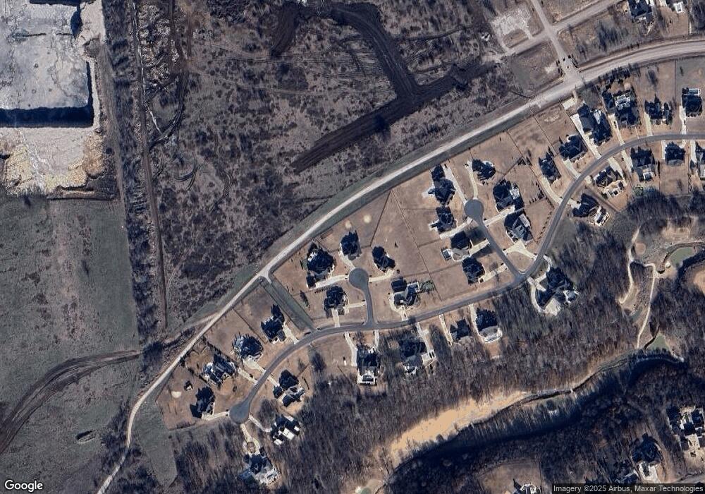
Map
Nearby Homes
- 17300 E Sunset Ridge
- 17623 E White Tail Cove
- 17889 E Falcon Pass
- 5865 N Eagle Rd
- 5883 N Eagle Rd
- 5827 N Eagle Rd
- 17930 E Falcon Pass
- 17575 E Anthem Ridge Rd
- 17743 E Red Hawk Rd
- 17702 E Falcon Pass
- 17686 E Falcon Pass
- 17862 E Patriot Dr
- 17802 E Patriot Dr
- 17822 E Patriot Dr
- 6322 N Wildwood Ln
- 17940 E Red Hawk Rd
- 5879 N Eagle Summit Rd
- 18127 Anthem Ridge Rd
- 18203 Anthem Ridge Rd
- 6480 N Blue Sage Dr
- 6221 N Pepper Jade Loop
- 6222 N Pepper Jade Loop
- 6202 N Pepper Jade Loop
- 6202 N Pepper Jade Loop
- 17201 E Sunset Ridge
- 6342 N Emerson Loop
- 6322 N Emerson Loop
- 6352 N Emerson Loop
- 17001 E Sunset Ridge
- 17120 E Sunset Ridge
- 17120 E Sunset Ridge
- 17100 E Sunset Ridge
- 17140 E Sunset Ridge
- 17200 E Sunset Ridge
- 6341 N Emerson Loop
- 16981 E Sunset Ridge
- 6321 N Emerson Loop
- 17240 E Sunset Ridge
- 16960 E Sunset Ridge
- 6301 N Emerson Loop
Your Personal Tour Guide
Ask me questions while you tour the home.