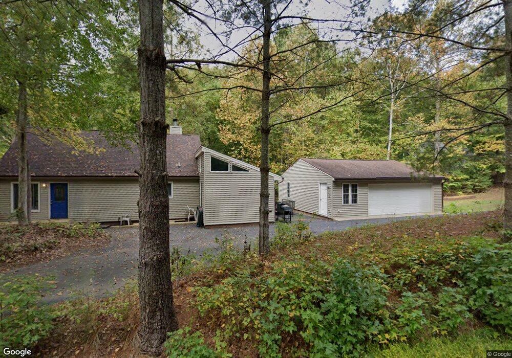
6232 Stubbs Bridge Rd Spotsylvania, VA 22551
Margo NeighborhoodEstimated Value: $650,000 - $752,000
3
Beds
2
Baths
1,452
Sq Ft
$473/Sq Ft
Est. Value
About This Home
This home is located at 6232 Stubbs Bridge Rd, Spotsylvania, VA 22551 and is currently estimated at $686,155, approximately $472 per square foot. 6232 Stubbs Bridge Rd is a home located in Spotsylvania County with nearby schools including Livingston Elementary School, Post Oak Middle School, and Spotsylvania High School.
Ownership History
Date
Name
Owned For
Owner Type
Purchase Details
Closed on
Jun 4, 2021
Sold by
Lambert Jacqueline M and Andre J Lambert Living Trust
Bought by
Vogan Mark Robert
Current Estimated Value
Home Financials for this Owner
Home Financials are based on the most recent Mortgage that was taken out on this home.
Original Mortgage
$400,000
Outstanding Balance
$362,150
Interest Rate
2.9%
Mortgage Type
New Conventional
Estimated Equity
$324,005
Create a Home Valuation Report for This Property
The Home Valuation Report is an in-depth analysis detailing your home's value as well as a comparison with similar homes in the area
Home Values in the Area
Average Home Value in this Area
Purchase History
| Date | Buyer | Sale Price | Title Company |
|---|---|---|---|
| Vogan Mark Robert | $500,000 | Virginia Title And Escrow |
Source: Public Records
Mortgage History
| Date | Status | Borrower | Loan Amount |
|---|---|---|---|
| Open | Vogan Mark Robert | $400,000 |
Source: Public Records
Tax History Compared to Growth
Tax History
| Year | Tax Paid | Tax Assessment Tax Assessment Total Assessment is a certain percentage of the fair market value that is determined by local assessors to be the total taxable value of land and additions on the property. | Land | Improvement |
|---|---|---|---|---|
| 2025 | $3,768 | $513,100 | $152,300 | $360,800 |
| 2024 | $3,768 | $513,100 | $152,300 | $360,800 |
| 2023 | $3,440 | $445,800 | $138,600 | $307,200 |
| 2022 | $3,289 | $445,800 | $138,600 | $307,200 |
| 2021 | $3,017 | $372,700 | $124,700 | $248,000 |
| 2020 | $3,017 | $372,700 | $124,700 | $248,000 |
| 2019 | $3,064 | $361,600 | $124,700 | $236,900 |
| 2018 | $3,012 | $361,600 | $124,700 | $236,900 |
| 2017 | $2,982 | $350,800 | $124,700 | $226,100 |
| 2016 | $2,982 | $350,800 | $124,700 | $226,100 |
| 2015 | -- | $346,100 | $124,700 | $221,400 |
| 2014 | -- | $346,100 | $124,700 | $221,400 |
Source: Public Records
Map
Nearby Homes
- 6201 Lake Front Way
- 6200 Stubbs Cove Ln
- 14819 Childs Cove Dr
- 6206 Stubbs Cove Ln
- 14814 Childs Cove Dr
- 6028 Lost Cove Dr
- 15004 Moonlight Ln
- 6610 Dock Luck Ln
- 6206 Eds Rd
- 6108 Bills Rd
- 6602 Sunrise Bay Dr
- 6532 Belmont Rd
- 6121 Belmont Rd
- 15408 Sunset Harbour Blvd
- 15506 Heth Dr
- 15507 Heth Dr
- 6215 Connie Ln
- 5519 Bazzanella Dr
- 15309 Red Oak Ln
- 6715 Water View Ln
- 14912 Laurel Point Ln
- 6204 Lake Front Way
- 14918 Laurel Point Ln
- 6200 Lake Front Way
- 6206 Lake Front Way
- 14924 Laurel Point Ln
- 0 Lake Front Way
- 6115 Lake Front Way
- 14800 Childs Cove Dr
- 0 Lakefront Way Unit 1000093103
- 0 Lakefront Way Unit 1007215196
- 0 Lakefront Way Unit 1002264894
- 0 Lakefront Way Unit SP9909483
- 0 Lakefront Way Unit SP9564929
- 0 Lakefront Way Unit VASP227232
- 6305 Stubbs Bridge Rd
- 6301 Stubbs Bridge Rd
- 6111 Lake Front Way
- 6105 Lake Front Way
- 0 Childs Cove Dr